
Minnesota's Geode Geology: Agates, Glacial Drift, and Driftless Limestones
Minnesota is not a geode state in the traditional Midwestern sense. You will not find Iowa-style Keokuk geodes weathering out of creek banks across most of the state. What Minnesota does produce — and in remarkable quality — is Lake Superior agates, some of which contain geode-like quartz crystal cavities. The state also has a small window of genuine geode production in the southeastern Driftless Area, where Ordovician limestones produce small quartz and calcite specimens in creek gravels.
The Lake Superior agate is Minnesota's official state gemstone, and understanding its origin explains both where to find agates and why they sometimes function as geodes. These agates formed roughly 1.1 billion years ago during the Midcontinent Rift event — a period when the North American continent nearly tore itself apart. Basaltic lava flows poured out across what is now the Lake Superior basin, piling up thousands of feet of volcanic rock. As each lava flow cooled, gas vesicles (bubbles) formed near the surface. Over the following hundreds of millions of years, silica-rich groundwater percolated through the basalt, filling these vesicles with concentric layers of chalcedony, microcrystalline quartz, and macrocrystalline quartz. The result is the banded agate that collectors prize — and when the silica filling did not completely close the vesicle, a hollow center with quartz crystal points remained. That is a geode.
Glaciation is the key to distribution. Starting about 2 million years ago, continental ice sheets scraped across the basalt flows, plucking out agates and transporting them south and west across Minnesota, Wisconsin, Iowa, and into the Dakotas. When the glaciers melted, they dropped their rocky cargo as glacial drift — till, outwash gravel, and lake sediment. This is why Lake Superior agates turn up in gravel pits, farm fields, and river gravel hundreds of miles from Lake Superior itself. The agates are tougher than most of the surrounding rock and survive glacial transport intact.
In southeastern Minnesota, the Driftless Area (the region the glaciers missed) exposes Ordovician and Cambrian bedrock along steep stream valleys. The Galena Dolomite, Prairie du Chien Group, and associated formations produce small calcite and quartz geodes in creek gravel — the same material found across the border in southwestern Wisconsin.
Where to Collect: Five Productive Sites with Access Details
1. Burlington Bay and Agate Bay — Two Harbors, Lake County
GPS: 47.0222, -91.6717 (Burlington Bay)
Land status: Public beach, city park
Two Harbors is the gateway to serious North Shore agate hunting. Burlington Bay and Agate Bay (the town's name is not an accident) offer public gravel beaches where Lake Superior agates wash up with every storm cycle. The beach gravel here is a mix of basalt cobbles, rhyolite, granite, and the agates you are looking for. When wet, agates reveal their banding — concentric rings of red, orange, white, and clear chalcedony. The iron-stained exterior (a rusty orange-red) is the most reliable field identifier on dry gravel. Work the waterline at low lake levels or immediately after storms when wave action has churned fresh material onto the beach. A spray bottle helps — a quick spritz of water on a suspect stone reveals banding that is invisible when dry. Some specimens here contain small geode-like cavities with quartz crystal points in the center, though most are solid. Even solid agates are worth collecting for their banding patterns.
2. Gravel Beaches Near Grand Marais — Cook County
GPS: 47.7508, -90.3344 (public beach area)
Land status: Public beach, Grand Marais recreation area
Grand Marais sits on the northeastern shore of Lake Superior where the Sawtooth Range meets the lake. The gravel beaches in and around town collect wave-washed stones from the Precambrian basalt and rhyolite formations. Lake Superior agates here tend to be smaller than those found farther south (the source basalts are closer, so the agates have not been concentrated by as much glacial transport), but the quality can be excellent. The beaches near the harbor and along the Gunflint Trail corridor produce agates after storms. The Superior National Forest land along the shore also offers beach access at numerous points. Some of the agates found here retain their original basalt matrix, showing you exactly how the agate formed within a gas vesicle in the lava flow. These matrix specimens are geologically interesting even if they are not display-quality gems.
3. Root River Tributaries — Fillmore County (Driftless Area)
GPS: 43.7300, -91.9700 (general area near Lanesboro)
Land status: Public waterways; private farmland (ask permission for bank access)
Southeastern Minnesota's Driftless Area is the one region of the state that produces actual geodes — not agates, but the small, round, crystal-lined nodules that form in sedimentary limestone. The Root River and its tributaries in Fillmore County cut through the Galena Dolomite and Prairie du Chien Group, exposing creek gravel that contains small quartz and calcite geodes from these Ordovician formations. The geodes are typically 2–8 cm in diameter, with calcite crystal interiors being more common than quartz. Walk the gravel bars at low water near Lanesboro, Preston, and Rushford. The same streams also produce fossils — brachiopods, crinoid stems, and horn corals from the Ordovician limestone. Most of the surrounding land is private farmland. The creeks are public waterways, but you often need landowner permission to cross fields to reach the creek. The Lanesboro area has become a popular tourist destination (biking, kayaking), so services and lodging are readily available.
4. Mississippi River Gravel Bars — Winona and Houston Counties
GPS: 43.8500, -91.6400 (general area near Winona)
Land status: Upper Mississippi River National Wildlife and Fish Refuge (check collecting rules); public waterways
The Mississippi River in southeastern Minnesota flows through the Driftless Area, carrying a mix of glacial-transported Lake Superior agates and locally derived Ordovician limestone geodes in its gravel. Exposed gravel bars during low water conditions offer a chance to find both types of specimens in a single outing. The Upper Mississippi River National Wildlife and Fish Refuge manages much of the shoreline in this area — contact the refuge office (507-452-4232) for current rules on mineral collecting within refuge boundaries. Public boat ramps at Winona, La Crescent, and other river towns provide access to the waterway. Island gravel bars in the river braids are often the most productive, as river currents sort and concentrate dense stones (including agates) on these bars.
5. Glacial Gravel Pits — Central and Southern Minnesota (Statewide)
GPS: Varies by location (distributed across southern half of state)
Land status: Private (permission required from pit operator/landowner)
The glacial drift that blankets central and southern Minnesota contains Lake Superior agates scattered throughout its gravels. Commercial gravel pits that excavate these glacial deposits regularly turn up agates as a byproduct of their operations. Some pit operators allow collectors to search the gravel piles — always ask permission first. The best pits sit along the paths of the major glacial lobes that passed over the Lake Superior basin, roughly following a swath from the northeast to the southwest across the state. Agates found in gravel pits are often fractured and tumbled from glacial transport, but intact specimens with good banding do appear. Gravel pit collecting also produces jasper, chalcedony, and occasional pieces of banded iron formation (jaspilite) from the Precambrian iron ranges. The key to gravel pit access is relationships — find a pit operator who allows collecting, treat the site with respect, follow all safety rules, and you will likely have continued access.
Specimens You Can Expect to Find
| Specimen | Location | Typical Size | Notes |
|---|---|---|---|
| Lake Superior agate (banded chalcedony) | North Shore beaches, gravel pits statewide | 1–10 cm (larger rare) | Iron-stained banding in reds, oranges, whites; state gemstone |
| Lake Superior agate with quartz cavity (geode-like) | North Shore beaches | 2–8 cm | Banded exterior with hollow quartz crystal center; uncommon |
| Calcite geode (Ordovician limestone) | Driftless Area creeks, Fillmore County | 2–8 cm | Small, round; calcite crystal interior; similar to Wisconsin geodes |
| Quartz geode (Ordovician limestone) | Driftless Area creeks | 2–6 cm | Less common than calcite; druzy quartz lining |
| Thomsonite nodules | North Shore (Grand Marais to Tofte) | 1–5 cm | Green and pink zeolite nodules in basalt; rare and prized |
| Jasper and chalcedony | Gravel pits, river gravel statewide | 2–10 cm | Various colors; glacially transported from Precambrian sources |
Tools and Equipment
Minnesota collecting is primarily surface work — beach scanning, creek wading, and gravel pit sorting. Heavy hard-rock tools are unnecessary for most sites.
- Spray bottle: The single most important agate-hunting tool. A quick spray of water on a suspect stone reveals banding that is invisible when dry. Carry a 16-oz bottle and refill it from the lake or creek.
- Polarized sunglasses: Cut the glare on beach gravel and water surfaces, making it easier to spot the waxy luster and banding of agates among ordinary cobbles.
- Sturdy bag or bucket: For carrying specimens. Agates are heavy for their size — a pocketful adds up fast. A mesh bag drains water from wet beach stones.
- Rock hammer (light, 1–2 lb): For testing suspect stones and opening small geodes from the Driftless Area. Not necessary for beach agate collecting.
- Knee pads: Beach collecting involves a lot of bending and kneeling on gravel. Your knees will thank you.
- Layered clothing: Lake Superior weather changes fast. Even in July, the lakeshore can be cool and windy. Bring layers and a rain jacket.
- 10x hand lens: Useful for examining banding patterns, identifying thomsonite versus agate, and checking small crystal-filled cavities.
- Wading boots: For Driftless Area creek collecting. The streams here have cold, clear water over limestone bottoms — felt-soled or rubber-lugged boots provide traction.
Legal Considerations and Access Rules
- Minnesota State Parks: Most Minnesota State Parks allow limited rock and mineral collecting along the beach and shoreline. Collecting is restricted to what you can carry by hand — no buckets, bags, or collecting in large quantities. Each park may have specific rules, so check with the park office before collecting. Gooseberry Falls, Tettegouche, and Split Rock Lighthouse state parks all front Lake Superior and offer beach collecting opportunities.
- Superior National Forest: Personal mineral and rock collecting for non-commercial purposes is permitted on National Forest land. No mechanical excavation. The forest manages large stretches of Lake Superior shoreline — a good alternative to state parks for less-restricted collecting.
- Upper Mississippi River National Wildlife and Fish Refuge: Mineral collecting rules vary by zone within the refuge. Contact the refuge office for current regulations.
- Public waterways: Creek and river gravel collecting from navigable waterways is generally permitted in Minnesota. Do not excavate stream banks or disturb the stream bed.
- Gravel pits: All commercial gravel pits are private property. Enter only with the operator's permission. Follow all posted safety rules. Wear high-visibility clothing and stay clear of equipment.
- Thomsonite: Thomsonite nodules from the North Shore are highly collectible and increasingly rare. Collecting is prohibited in certain areas, including some state parks. Know the specific rules for each location before collecting zeolite minerals.
Planning Your Trip
The North Shore agate season runs from late May through October. The best collecting follows spring storms and fall gales, when heavy wave action churns up fresh gravel and deposits agates on the beach. Calm-water periods between storms are less productive — the beach gravel gets picked over quickly by other collectors during settled weather. Plan to arrive within a day or two of a significant storm for the freshest material.
Duluth makes the best base for North Shore collecting. The city sits at the western tip of Lake Superior and provides easy access to beaches from Park Point all the way up the shore to Two Harbors, Silver Bay, and Grand Marais along Highway 61. Duluth also has rock shops where you can study high-quality Lake Superior agates and thomsonite before heading to the field — knowing exactly what you are looking for speeds up your beach scanning dramatically.
For Driftless Area geodes in southeastern Minnesota, Lanesboro is the most convenient base. The town sits on the Root River with direct access to productive creek collecting, has good lodging and restaurants, and is centrally located for day trips to creek sites across Fillmore, Houston, and Winona counties.
Fall color season (late September through mid-October) combines peak collecting conditions with some of the best scenery in the upper Midwest — a strong reason to schedule your trip during that window.
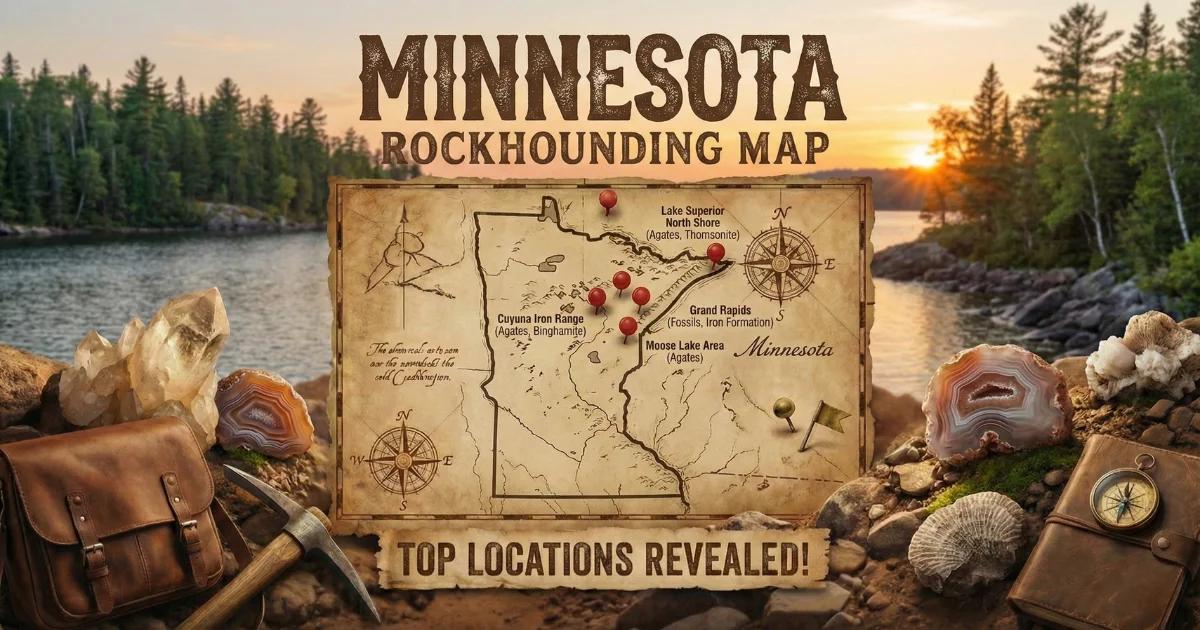
See our Minnesota rockhounding map for all documented collecting locations across the state.