
Why Vermont Does Not Produce Geodes
Vermont is built on metamorphic rock — and metamorphic rock does not produce geodes. That is the short answer, and it is worth understanding why before you load the truck.
Geodes form in two settings. Sedimentary geodes develop in undeformed limestone and dolostone, typically Mississippian age, where groundwater dissolves round cavities and then deposits crystals inside them over millions of years. Volcanic geodes form in gas bubbles within basalt or rhyolite flows. Both require rock that has not been significantly squeezed, folded, or heated after the geodes form.
Vermont's rocks have been intensely deformed. The state sits on the spine of the northern Appalachian Mountains. Every major rock formation has been through at least one episode of regional metamorphism — buried miles deep, heated to hundreds of degrees, and compressed by tectonic forces. Limestones were converted to marble. Shales became schist and phyllite. Sandstones became quartzite. Any cavities that might have contained geodes were crushed flat during this process.
The Green Mountains running north-south through the state are the backbone of Vermont's geology. The western flank contains the Champlain Valley limestones and the famous Vermont marble belt. The eastern side drops into the Connecticut River Valley with more schist, gneiss, and scattered granite intrusions. It is complex, interesting geology — but none of it produces geodes.
What Vermont does produce is crystal-lined vugs in marble, quartz crystal pockets in metamorphic rocks, and a variety of mineral specimens that make the state worth visiting for collectors with adjusted expectations.
What to Look For Instead
Calcite vugs in marble. Vermont's marble is Ordovician-age Shelburne and Clarendon Springs marble — originally limestone that was recrystallized during metamorphism. During this process, some void spaces formed along grain boundaries and fractures. Groundwater later deposited calcite crystals in these voids. The result is small cavities (typically 1-4 inches across) lined with sharp, transparent calcite crystals. These are not geodes — they are irregular vugs within massive marble — but the crystals can be excellent.
Quartz crystals in schist. The Green Mountain schists contain quartz veins, and where these veins intersect fracture zones, small pockets lined with quartz crystal points develop. Alpine-type cleft crystals — clear, stubby quartz points growing into open fractures — occur in the higher-grade metamorphic rocks. These are uncommon but real.
Talc and serpentine. Vermont produces more talc than any other state. The talc deposits in the Moretown-Rochester area occur in ultramafic rock bodies and contain associated serpentine, magnetite, and chromite. Not crystal-pocket material, but geologically significant.
Garnet and staurolite. The schists throughout Vermont contain almandine garnet and staurolite crystals. These weather free of the matrix in creek gravel and can be collected as loose, well-formed specimens. Staurolite occasionally forms cross-shaped twins (fairy crosses).
Collecting Locations
1. Proctor Marble Quarry Area — Rutland County
GPS: 43.6500°N, 73.0300°W (general Proctor area)
Land status: Private quarry operations (Vermont Quarries / OMYA) — no public access to active pits
Vehicle: 2WD
Proctor is the center of Vermont's marble industry. The quarries here have been operating since the 1830s, and the marble has been used in buildings across the country, including the US Supreme Court. The marble belt runs roughly north-south through Rutland County.
For mineral collectors, the interest is calcite vugs within the marble. Quarry operations occasionally break into pockets lined with transparent calcite crystals — rhombohedral and scalenohedral forms to 2 inches. These specimens are uncommon and turn up unpredictably during quarrying.
Active quarries do not allow public access. The Vermont Marble Museum in Proctor (open seasonally) provides geological education and occasionally has specimens from the quarries available. Contact the Green Mountain Mineral Club for information about organized collecting trips to accessible dump piles.
2. Danby Marble Area — Rutland County
GPS: 43.3500°N, 73.0000°W (general Danby area)
Land status: Private quarry operations and surrounding forest
Vehicle: 2WD to town; possible hike to old workings
The Danby quarries (some still active, some abandoned) tap the same marble belt as Proctor. The marble here is the Danby formation — a white to gray, fine-grained marble with excellent commercial properties. Abandoned quarry workings in the surrounding hills may expose marble with calcite vugs, quartz veins, and associated minerals.
The abandoned quarries on Green Mountain National Forest land may be accessible for personal collecting. Check with the Manchester Ranger District office for current rules. Active quarry operations (Vermont Quarries) are off-limits without permission. Stay out of deep quarry pits — vertical walls and flooded bases are serious hazards.
3. Green Mountain National Forest — Various Locations
GPS: 43.8000°N, 72.9000°W (general GMNF area, central section)
Land status: National Forest — personal collecting generally permitted
Vehicle: 2WD to trailheads; hiking required for most collecting
The Green Mountain National Forest covers over 400,000 acres of mountainous terrain in central and southern Vermont. The metamorphic rocks throughout the forest — schist, phyllite, gneiss, quartzite — contain quartz veins with occasional crystal pockets, garnet and staurolite crystals in schist, and rare calcite specimens in marble outcrops.
Creek gravel in the White River, Mad River, and Winooski River drainages (where they cross National Forest land) is the most productive medium. Look for quartz crystals, garnet crystals, and interesting metamorphic rock specimens in the gravel bars at low water. Spring snowmelt and heavy rain events expose fresh material.
National Forest regulations allow personal collecting of reasonable quantities of rocks and minerals for non-commercial use. Do not use heavy equipment or explosives. Do not dig or excavate. Surface collecting and hand tools only.
4. Lake Champlain Shoreline — Chittenden/Addison Counties
GPS: 44.4700°N, 73.2100°W (general Burlington waterfront area)
Land status: Public shoreline access varies by location
Vehicle: 2WD
The Lake Champlain shoreline exposes a range of Vermont geology as wave action erodes the bluffs and bedrock shelves along the lakeshore. The Champlain Valley contains less-metamorphosed sedimentary rocks — limestone, dolostone, and shale — that predate the mountain-building events to the east.
Collecting here focuses on fossils (Ordovician-age corals, brachiopods, cephalopods, and trilobites in the limestone) and interesting rock specimens. The Chazy Reef at Isle La Motte is one of the oldest known coral reefs in the world (480 million years). No geodes occur here, but the fossil collecting can be productive.
Public access to the lakeshore varies. State parks (Button Bay, Sand Bar) have shoreline access but may restrict collecting. Town beaches and public boat launches provide alternative access points.
5. Rochester-Hancock Talc Belt — Windsor/Addison Counties
GPS: 43.8800°N, 72.8100°W (general Rochester area)
Land status: Mixed private/National Forest
Vehicle: 2WD to access roads
The talc deposits along the eastern flank of the Green Mountains (Rochester, Hancock, Granville area) occur in serpentinite bodies — ultramafic rock that was hydrothermally altered. The talc mines have been commercially important since the 1800s.
For collectors, the serpentinite bodies produce serpentine (antigorite), magnetite, chromite, and associated minerals. Talc specimens are available from mine dumps where access is permitted. The green-black serpentine makes interesting display pieces, and the magnetite is strongly magnetic. Not crystal-pocket material, but distinct from what you find elsewhere in New England.
Specimens You May Find
| Specimen | Where Found | Notes |
|---|---|---|
| Calcite crystals (vugs) | Proctor/Danby marble quarries | Transparent rhombohedrons in marble vugs; uncommon |
| Quartz crystals | Green Mountain schists, creek gravel | Small clear points; alpine-cleft type in fractures |
| Almandine garnet | Statewide in schist | Dark red dodecahedrons; best freed from weathered schist |
| Staurolite (fairy crosses) | Schist belts, creek gravel | Brown cruciform twins; some are cross-shaped |
| Serpentine | Rochester-Hancock talc belt | Green-black massive; associated with talc deposits |
| Talc | Rochester-Hancock area mine dumps | White to green, very soft (Mohs 1); Vermont's top mineral product |
| Ordovician fossils | Lake Champlain limestone | Corals, brachiopods, cephalopods in dolostone/limestone |
| Marble specimens | Proctor/Danby quarry areas | White to gray; Vermont's signature stone |
Field Identification Tips
Marble vugs vs. geodes: A marble vug is an irregularly shaped cavity within massive marble, lined with euhedral crystals (usually calcite). A geode is a self-contained hollow sphere that separates from its host rock. Vermont marble vugs cannot be removed as free-standing specimens — you collect the crystal pocket as part of a marble chunk. If someone hands you a "Vermont geode," it is either mislabeled or from somewhere else.
Calcite vs. quartz: Both are common in Vermont's metamorphic rocks. Calcite fizzes in dilute hydrochloric acid and is soft enough to scratch with a nail (Mohs 3). Quartz does not fizz, scratches glass, and is much harder (Mohs 7). Crystal shapes also differ — calcite forms rhombohedrons; quartz forms six-sided prisms with pointed tips.
Garnet in creek gravel: Almandine garnets appear as small (3-10 mm), dark red, glassy grains in stream gravel. They are denser than most other minerals (specific gravity 4.0) and concentrate with the heaviest material. Check gravel bars where heavy minerals accumulate — typically at the inside of bends and behind large boulders.
Staurolite twins: True cruciform (cross-shaped) staurolite twins are prized by collectors. Most staurolite crystals in Vermont are single prisms, not twins. The crosses form at 60-degree or 90-degree intersection angles. Look in weathered schist outcrops and creek gravel where the softer mica matrix has eroded away, leaving the hard staurolite crystals behind.
Recommended Tools
- Rock hammer (16 oz) — for breaking quartz veins and marble
- Cold chisels (1/2" and 3/4") — for extracting calcite crystal vugs from marble
- Safety glasses — marble and quartz throw sharp splinters
- Hand lens (10x) — for examining crystal faces and identifying small garnets
- Dilute HCl (10%) — for distinguishing calcite from quartz in the field
- Newspaper and small boxes — calcite crystals are fragile; wrap immediately
- Wading shoes — creek gravel collecting requires getting in the water
- Collecting bags or 5-gallon bucket — for transporting specimens
- GPS device or phone app — for marking productive outcrops
Legal Notes
Green Mountain National Forest: Personal collecting of reasonable quantities of rocks, minerals, and fossils is permitted for non-commercial use. Surface collecting and hand tools only. No excavation, no heavy equipment, no explosives.
State Parks: Vermont state parks generally prohibit removing rocks, minerals, fossils, and other natural materials. This includes Button Bay State Park (a known fossil locality) and all other parks. Ask at the park office before collecting.
Private Quarries: All active marble, talc, and granite quarries in Vermont are on private property. Do not enter without written permission from the operator. Active quarries have heavy equipment, blasting operations, and vertical walls — they are genuinely dangerous.
Lake Champlain Shoreline: Waterfront access rules vary by town. Some towns have public shoreline access; others do not. The Chazy Reef at Isle La Motte is a protected geological site — collecting is prohibited.
Collecting Limits: Vermont does not publish specific weight or volume limits for casual mineral collecting on National Forest land, but the general guidance is "what you can carry in your hands" for a personal collection. Taking material for resale is commercial collecting and requires a permit.
Better Options Nearby
Vermont has good rock collecting but poor geode hunting. If crystal pockets and geodes are your goal, these nearby states deliver better results:
- Oxford County, Maine — 3 hours east. Pegmatite crystal pockets with tourmaline, beryl, aquamarine, and quartz. The best crystal collecting in New England.
- Herkimer Diamond Mines, New York — 3 hours west. Fee-dig quartz crystal mines in Cambrian dolostone. Double-terminated quartz crystals.
- Grafton, New Hampshire — 1.5 hours east. Ruggles Mine (historic pegmatite) and surrounding area with mica, beryl, and uranium minerals.
- Portland, Connecticut — 3 hours south. Pegmatite vugs with garnet, beryl, and tourmaline.
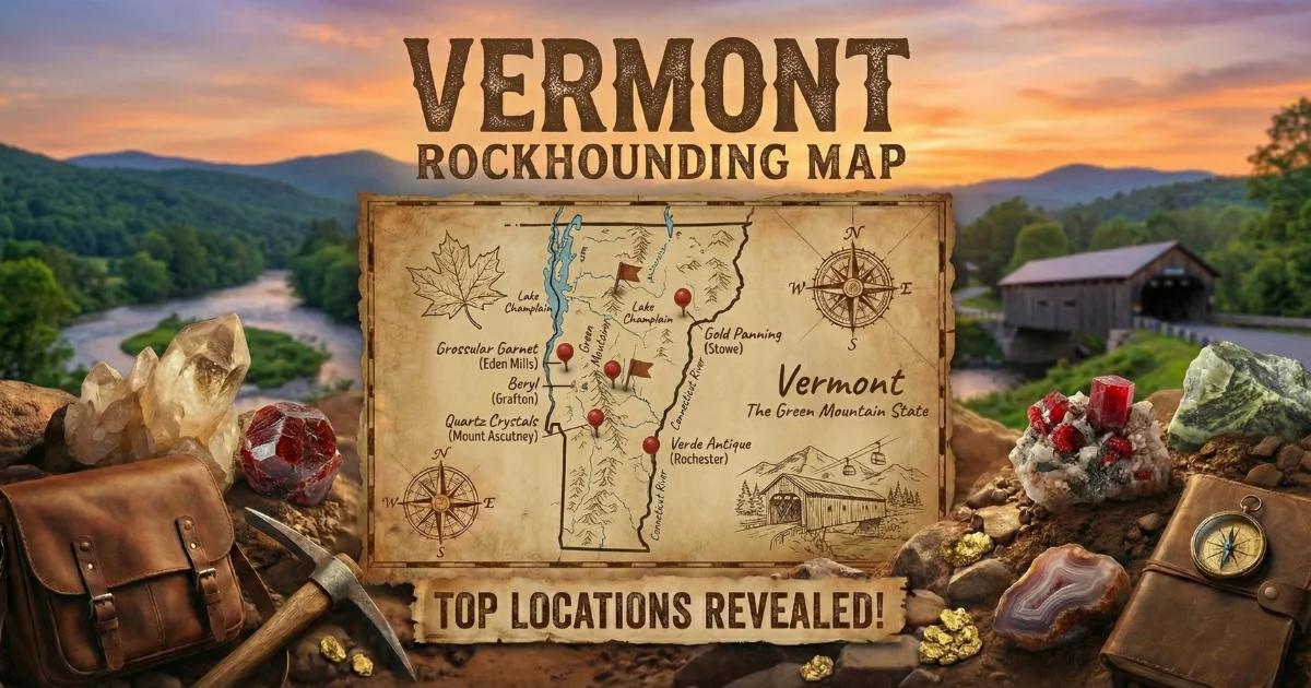
Browse all Vermont collecting sites on our interactive Vermont rockhounding map.