
Tennessee's Geode Geology: The Highland Rim Limestone Belt
Middle Tennessee sits on a geological structure that makes geode production almost inevitable. The Nashville Basin — a low-lying area of exposed Ordovician limestone centered on Nashville — is surrounded by the Highland Rim, a ring of elevated terrain built from younger Mississippian-age limestones and shales. It is the Highland Rim formations, particularly the Fort Payne Formation and the overlying Warsaw Formation, that produce the geodes Tennessee collectors target.
The Fort Payne Formation is the workhorse. Deposited roughly 340–350 million years ago in a shallow tropical sea, this formation is a mix of siliceous limestone, chert, and shale. Silica was abundant in these Mississippian seas — sponge spicules, radiolarians, and diatoms contributed dissolved silica to the sediment. As the formation lithified and burial diagenesis progressed, this silica mobilized. It precipitated as chalcedony shells around voids in the limestone — replacing fossil shells, filling gas pockets, and lining dissolution cavities. Inside these chalcedony shells, quartz crystals grew inward from the walls. The result is the classic round, heavy, rough-surfaced geode that splits open to reveal a sparkling crystal interior.
The Warsaw Formation, which overlies the Fort Payne in many areas, produces similar geodes but with a higher proportion of calcite-filled specimens. Some of the best dogtooth calcite crystals in the Southeast come from Warsaw Formation geodes in the upper Cumberland Plateau drainage.
The counties that produce the most geodes — Overton, Putnam, DeKalb, White, Smith, and Jackson — all sit on the eastern Highland Rim where the Fort Payne and Warsaw formations are actively eroding into creek drainages. Every rain event washes more geodes out of the bedrock and into the creeks. This is creek-collecting country, and the technique is straightforward: walk the gravel bars at low water and scan for round, heavy stones.
Where to Collect: Five Productive Sites with Access Details
1. Roaring River and Tributaries — Overton County
GPS: 36.3833, -85.3500 (general area near Hilham)
Land status: Public waterways; adjacent land is private (ask permission for bank access)
Overton County is ground zero for Tennessee geode hunting. The Roaring River and its tributary creeks drain through extensive Fort Payne Formation limestone. Walk the gravel bars downstream from road crossings and scan for the telltale round shapes. Geodes here range from 3 to 20 cm in diameter, with the majority in the 5–10 cm range. Most contain quartz druzy — fine-grained sparkling crystal linings — but larger specimens occasionally open to reveal well-formed quartz points up to a centimeter long. The creeks feeding into the Obey River system are equally productive. Low water in late summer and early fall provides the best gravel bar exposure.
2. Falling Water River — Putnam County (Cookeville Area)
GPS: 36.1628, -85.5017
Land status: Public waterways; road cuts on state right-of-way
The Cookeville area sits on the Fort Payne Formation and produces geodes in both creek beds and road cuts. Falling Water River and its tributaries carry geodes downstream from eroding limestone outcrops. Road construction projects along Interstate 40 and Highway 111 have repeatedly exposed geode-bearing limestone beds — watch for fresh cuts after construction activity. The geodes from this area tend to have slightly thicker chalcedony shells than those from Overton County, making them more durable and better suited for cutting and polishing. The Cookeville area is also convenient for visiting collectors — lodging, supplies, and fuel are all readily available.
3. Center Hill Lake Shoreline — DeKalb County (Smithville Area)
GPS: 36.0600, -85.8100
Land status: Army Corps of Engineers land (portions open to collecting); some private shoreline
Center Hill Lake was formed by damming the Caney Fork River in 1948. The reservoir's fluctuating water levels expose limestone bluffs and gravel beaches along the shoreline, particularly during winter drawdown when the lake level drops significantly. The exposed limestone is Fort Payne Formation, and geodes erode directly from the bluffs onto the shoreline gravel. Some Army Corps of Engineers shoreline areas allow rock and mineral collecting — check with the Center Hill Lake Resource Manager's office (931-858-3125) for current regulations and maps showing which shoreline areas are open to public access. The exposed bluffs also give you a clear view of the geode-bearing formation in place, which helps calibrate your eye for spotting productive exposures elsewhere.
4. Calfkiller River — White County
GPS: 35.9500, -85.5000 (near Sparta)
Land status: Public waterways; adjacent land varies
The Calfkiller River runs through White County cutting through the Fort Payne Formation. The name alone should tell you the terrain is rough — this is hill country with steep valley walls and rocky creek beds. Geodes collect in gravel bars at bends in the river and in the quieter pools below riffles. White County geodes are known for producing occasional celestite (pale blue strontium sulfate crystals) and barite (heavy barium sulfate crystals) alongside the more common quartz and calcite. If you find a geode that feels unusually heavy for its size, it may contain barite — crack it carefully. Access the river at county road crossings. Some access points require short hikes down steep banks.
5. Smith County Creek Beds — Smith County
GPS: 36.2500, -85.9500 (general area near Carthage)
Land status: Public waterways; private land (permission required for bank access)
Smith County lies on the western edge of the productive Highland Rim geode belt. The creeks here drain through the transition zone between the Warsaw Formation and the Fort Payne Formation, producing geodes with characteristics of both units. Calcite-filled geodes are more common here than in the counties to the east, including specimens with striking dogtooth calcite crystals — elongated scalenohedral forms that look like canine teeth protruding from the cavity walls. The area around Carthage and the Cordell Hull Dam tailwaters provides accessible creek collecting. This county receives less collecting pressure than Overton or Putnam, so productive gravel bars may hold a higher concentration of uncollected material.
Specimens You Can Expect to Find
| Specimen | Location | Typical Size | Notes |
|---|---|---|---|
| Quartz druzy geode | All Highland Rim creek sites | 5–15 cm | Fine crystal coating lining interior; most common type found |
| Dogtooth calcite geode | Smith County, Overton County | 5–20 cm | Sharp scalenohedral calcite crystals; sometimes with calcite on quartz |
| Chalcedony-lined geode (solid) | Putnam County | 3–12 cm | Thick chalcedony shell, small or no cavity; attractive when cut |
| Celestite crystals in geode | White County (uncommon) | Individual crystals 1–3 cm | Pale blue tabular blades inside quartz-lined cavity |
| Barite crystals in geode | White County (uncommon) | Individual crystals 1–2 cm | Heavy, tabular white crystals; geode noticeably heavier than expected |
| Chert nodules with druzy centers | Fort Payne Formation outcrops | 5–15 cm | Dark gray to black exterior; occasional sparkling crystal core |
Tools and Equipment
Tennessee geode hunting is primarily creek-based work. You are walking gravel bars, wading shallow water, and carrying heavy stones back to your vehicle. Pack accordingly.
- Wading boots or rubber boots: Tennessee creeks have slippery limestone bottoms. Felt-soled or rubber-lugged boots provide the traction you need to avoid a fall on wet rock.
- Rock hammer (2–3 lb): For field-testing and opening geodes at the creek. A chisel-end rock hammer gives the cleanest splits.
- Cold chisel (3/4-inch): Score a line around the geode's equator with the chisel, then tap along the line until it cracks open. This produces cleaner halves than smashing with a hammer.
- 5-gallon bucket: The standard geode-hauling container. Line the bottom with newspaper to cushion specimens.
- Walking stick or wading staff: Creek bottoms in the Fort Payne Formation are uneven limestone ledges and loose cobbles. A staff helps you keep your footing in deeper water.
- Safety glasses: Wear them when hammering. Chert fragments from the Fort Payne Formation are sharp as glass.
- Sunscreen and insect repellent: Summer creek collecting in Tennessee means heat, humidity, ticks, and chiggers. Treat clothing with permethrin and apply DEET-based repellent to exposed skin.
Legal Considerations and Access Rules
Tennessee collecting regulations center on land ownership and waterway access. The state does not have blanket collecting permits or restrictions — rules depend on who owns the land.
- Public waterways: Tennessee follows the public trust doctrine for navigable waterways. You can wade and collect from exposed gravel bars in navigable streams. However, most creek access crosses private land, and you need landowner permission to reach the creek across their property.
- Army Corps of Engineers land (Center Hill Lake, Cordell Hull Lake): The Corps manages shoreline land around these reservoirs. Some areas allow public access and collecting; others are restricted. Contact the lake resource manager's office for specific rules and access maps.
- State parks and natural areas: Rock and mineral collecting is generally prohibited in Tennessee State Parks and State Natural Areas. Do not collect within park boundaries.
- Private land: Most of the productive Highland Rim geode country is private rural land — farms, woodlots, and hunting properties. Tennessee landowners tend to be hospitable if approached respectfully. Stop at the farmhouse, introduce yourself, explain what you are looking for, and ask if you can walk the creek on their property. Offering to share a specimen or close any gates behind you goes a long way.
- Road cuts: Collecting from highway road cuts is technically on state right-of-way. Be safe around traffic, do not excavate the cut face, and take only loose surface material.
Planning Your Trip
The best geode-hunting season in Tennessee is late summer through mid-autumn — roughly August through October. Creek levels are at their lowest, exposing the largest gravel bars and making wading easy and safe. Spring collecting is also productive, but higher water levels after spring rains can make some creeks impassable.
Cookeville (Putnam County) makes a good base for Tennessee geode hunting. It is centrally located among the best collecting counties, has full services including lodging and restaurants, and sits directly on Interstate 40 for easy access from Nashville (80 miles west) or Knoxville (100 miles east). From Cookeville, you can reach productive sites in Overton, DeKalb, White, and Smith counties within 30–45 minutes.
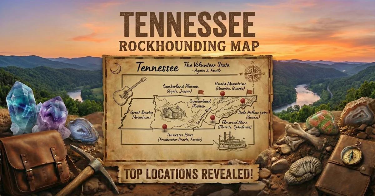
See our Tennessee rockhounding map for more locations across the state.