
Ohio's Geode Geology: Two Distinct Producing Zones
Ohio is not the first state most collectors think of when they plan a geode-hunting trip, but the state produces two distinctly different types of crystal-bearing specimens from two separate geological provinces. Understanding how these zones formed — and what they produce — is essential for knowing where to look and what to expect.
The first zone is northwest Ohio and the Lake Erie islands. Here, Silurian-age dolomites (roughly 420 million years old) form the bedrock. These are the same formations that created Niagara Falls farther east. Within these dolomites, groundwater dissolved cavities that later filled with celestite — strontium sulfate crystals that grow as clear to pale blue tabular blades. The most extreme example is Crystal Cave on South Bass Island, a room-sized celestite geode with crystals up to 18 inches long. Smaller celestite vugs and geodes occur throughout the Silurian dolomite belt across the Erie Islands and adjacent mainland.
The second zone is southeastern Ohio. Here, Mississippian-age limestones and Devonian shales form the bedrock in the hill country of the Appalachian Plateau. Creek drainages cutting through these formations expose small quartz and calcite geodes in gravel — the same type of creek-bed geodes found across Indiana, Kentucky, and the Midwest. These are classic silica-replacement geodes: chalcedony shells with quartz crystal interiors formed as silica-bearing groundwater filled voids in the carbonate bedrock.
Between these two zones sits Flint Ridge, a unique geological feature where chert (flint) nodules formed in the Pennsylvanian-age Vanport Limestone. These are not geodes in the strict sense — they are solid siliceous nodules — but their multicolored banding and occasional druzy crystal cavities make them among Ohio's most sought-after collectible stones.
Where to Collect: Five Producing Sites with Access Details
1. Crystal Cave — Put-in-Bay, South Bass Island, Ottawa County
GPS: 41.6528, -82.8214
Land status: Private attraction (admission required, no collecting)
Crystal Cave is the world's largest known celestite geode. Discovered in 1897 during well-drilling operations, the cave is a natural void in the Silurian Put-in-Bay Dolomite measuring roughly 30 by 10 feet, with celestite crystals lining every surface. Individual crystals reach 18 inches in length. The cave is open to visitors as a paid attraction — you can walk inside the geode and see the crystal formations up close. Collecting is not permitted, but the visit gives you an invaluable reference for identifying the host rock and crystal habit so you know what to look for at other sites in the same formation. Reach South Bass Island by ferry from Port Clinton or Catawba Point.
2. Kelleys Island Quarries — Kelleys Island, Erie County
GPS: 41.5947, -82.7100
Land status: Mixed — some abandoned quarry areas accessible, active quarries are private
Kelleys Island sits on the same Silurian dolomite that produced Crystal Cave on nearby South Bass Island. The island's abandoned limestone quarries have historically produced celestite crystal specimens from vugs and small geodes within the dolomite. The quarry exposures also show the famous glacial grooves — some of the best-preserved glacial striations in the world. Collecting from abandoned quarry areas is possible but always verify current access rules with the Kelleys Island Chamber of Commerce. Active quarry areas are strictly off-limits. The celestite here forms as clear to pale blue tabular crystals, typically 1–5 cm in length, lining dissolution cavities in the gray dolomite.
3. Hocking Hills Region — Hocking County
GPS: 39.4333, -82.5333 (general area, south of Logan)
Land status: Wayne National Forest (portions), public waterways, Hocking Hills State Park (no collecting)
The creeks draining the Hocking Hills cut through Mississippian-age limestones and shales, producing small quartz and calcite geodes in gravel bars. These geodes are typically 2–10 cm in diameter with druzy quartz interiors. The best collecting is on Wayne National Forest land south and east of the state park, where personal mineral collecting is permitted. Do not collect within Hocking Hills State Park itself — the park prohibits all rock and mineral removal. Focus on the forest service land and the public waterways between the park and the national forest boundary. Summer and early fall provide the lowest water levels and best access to creek gravel.
4. Scioto River Tributaries — Scioto County
GPS: 38.8000, -82.9500 (general area near Portsmouth)
Land status: Wayne National Forest (Ironton Ranger District), public waterways
The far southeastern corner of Ohio, where the Scioto River meets the Ohio River near Portsmouth, exposes some of the most productive Mississippian-age creek drainages in the state. Small quartz geodes, calcite crystal vugs, and occasional agate nodules turn up in creek gravel throughout the Wayne National Forest's Ironton Ranger District. The terrain is rugged — steep, narrow valleys cut deep into the bedrock — so be prepared for hiking to reach the best gravel bars. Geodes here range from walnut to tennis ball size. Some contain well-formed quartz crystals with clear terminations. The national forest allows personal collecting in reasonable quantities.
5. Flint Ridge — Licking and Muskingum Counties
GPS: 39.9875, -82.1625
Land status: Flint Ridge State Memorial (limited collecting), surrounding private land
Flint Ridge is a 6-mile-long, 2-mile-wide deposit of high-quality chert (flint) that formed as siliceous nodules within the Pennsylvanian-age Vanport Limestone. The chert here is famous worldwide for its multicolored banding — reds, blues, grays, greens, and creams swirled together in patterns unique to each specimen. Ohio designated Flint Ridge flint as the official state gemstone. The Flint Ridge State Memorial operates a visitor center and preserves the historic quarry pits where Native Americans mined flint for thousands of years. Collecting at the memorial is restricted to surface specimens in designated areas. Surrounding private land and nearby road cuts occasionally produce material — always ask permission on private land. While not true geodes, some flint nodules contain small druzy quartz cavities at their centers.
Specimens You Can Expect to Find
| Specimen | Location | Typical Size | Notes |
|---|---|---|---|
| Celestite crystals (strontium sulfate) | Lake Erie islands, Sandusky area | 1–15 cm blades | Clear to pale blue tabular crystals; fragile, Mohs 3–3.5 |
| Quartz druzy geode | Hocking Hills, Scioto County creeks | 2–10 cm | Small, often solid; best opened with chisel for clean break |
| Calcite crystal vugs | Southeastern Ohio creeks | 2–8 cm | Rhombohedral calcite crystals in limestone voids |
| Flint Ridge chert nodules | Flint Ridge, Licking County | 5–30 cm | Multicolored banding; state gemstone; occasional druzy centers |
| Dolomite crystals | Northwest Ohio quarries | 1–3 cm crystals | Saddle-shaped (curved-face) rhombohedra in dolomite vugs |
Tools and Equipment
Ohio geode hunting spans two very different collecting styles — creek gravel picking and quarry/outcrop work — so your tool kit depends on where you are headed.
- Creek collecting (southeastern Ohio): Rubber boots or wading shoes, a sturdy bucket, a rock hammer for field-testing specimens, and newspaper for wrapping keepers. A small soil sieve (1/4-inch mesh) helps spot tiny geodes in fine gravel.
- Quarry and outcrop work (northwest Ohio, Flint Ridge): Crack hammer (3 lb), cold chisels, safety glasses, and work gloves. Celestite is fragile (Mohs 3–3.5) and breaks easily — wrap specimens immediately in tissue or bubble wrap.
- General supplies: Field notebook, GPS or phone with offline maps, sunscreen, water, and a first-aid kit. Southeastern Ohio is remote — carry everything you need.
- Specimen transport: Celestite crystals are particularly fragile. Pack them in individual containers with cotton or foam padding. Do not let celestite specimens rattle against each other in a bucket.
Legal Considerations and Access Rules
Ohio's collecting regulations vary significantly depending on the land type and managing agency.
- Wayne National Forest: Personal mineral and rock collecting for non-commercial purposes is permitted. No mechanical excavation. Contact the Athens Ranger District (740-753-0101) or Ironton Ranger District (740-534-6500) for current regulations and access information.
- State parks (Hocking Hills, etc.): Collecting rocks, minerals, and fossils is prohibited in Ohio State Parks. This rule is enforced.
- Flint Ridge State Memorial: Limited surface collecting in designated areas only. The visitor center staff can clarify current rules and point you to legal collecting spots nearby.
- Lake Erie islands: Crystal Cave is a paid attraction with no collecting. Abandoned quarry areas on Kelleys Island have varying access rules — check locally before collecting.
- Private quarries: All active quarries are private property with serious safety and liability concerns. Never enter an active quarry without written permission from the operator. Contact the Ohio Geological Survey or local mineral clubs for organized quarry visit opportunities.
- Public waterways: Creek-bed collecting from public waterways is generally permitted for surface material. Do not excavate creek banks.
Planning Your Trip
Ohio's two geode zones are on opposite ends of the state, so plan accordingly. A Lake Erie islands trip to see Crystal Cave and hunt for celestite on Kelleys Island works as a long weekend from Cleveland, Columbus, or Toledo. The ferry schedule to the islands operates from April through November, with peak service from May through September. Book ferry tickets in advance during summer weekends.
Southeastern Ohio creek collecting is best from June through October when water levels are lowest. The Hocking Hills area has good lodging options in Logan and the surrounding communities. Wayne National Forest provides dispersed camping if you prefer to camp near your collecting sites. The terrain is hilly and some creek access requires moderate hiking — plan your physical effort accordingly.
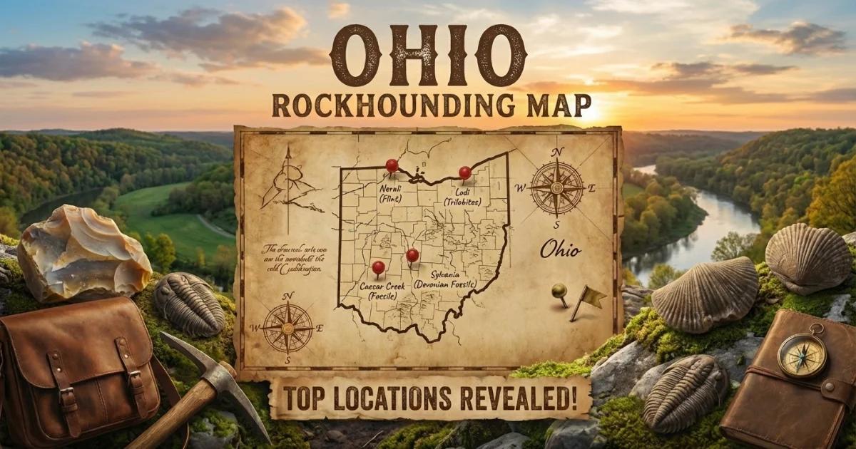
Find locations on our Ohio rockhounding map.