
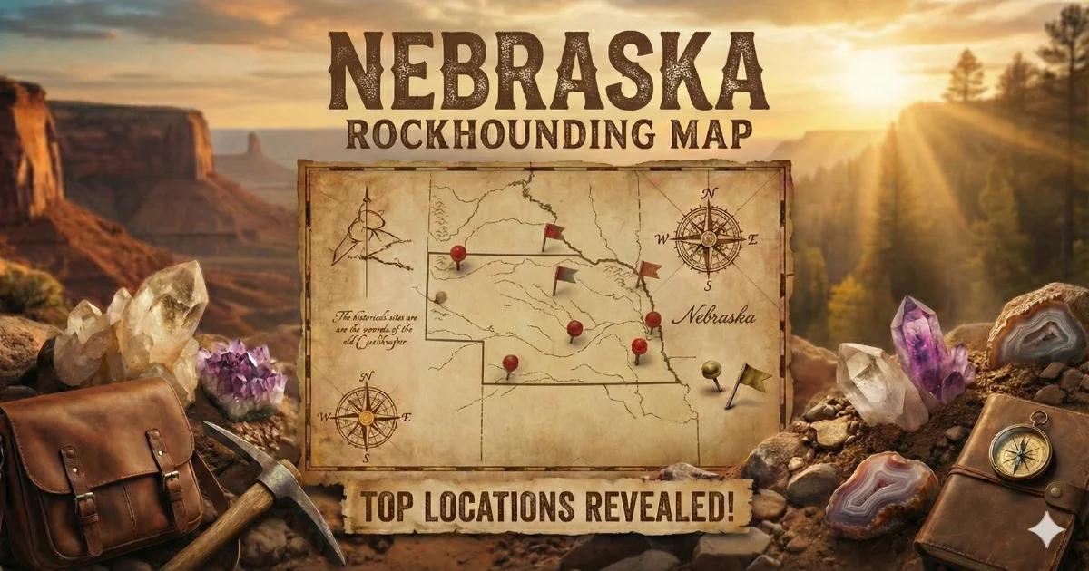
Nebraska Geology and What to Expect
Nebraska is not the first state that comes to mind for geode collecting, and that reputation is mostly earned. The eastern two-thirds of the state is covered by deep glacial till and loess (wind-blown silt) overlying Cretaceous shale — no geode-producing formations are exposed at the surface. Central Nebraska is Sandhills grassland, where Tertiary sands are stabilized by prairie vegetation. Nothing here produces geodes.
The collecting story changes in the far west. The Pine Ridge escarpment, the Wildcat Hills, and the badlands terrain of the panhandle expose Tertiary-age formations — the White River Group (Chadron and Brule formations, roughly 30 to 37 million years old) and the Ogallala Group (Miocene, roughly 5 to 19 million years old). These sediments were deposited by rivers and volcanic ashfalls during a period of intense volcanism in the Rocky Mountain region. Silica-rich groundwater percolating through these ash-laden sediments created chalcedony nodules, small agate geodes, and petrified wood. These are Nebraska's "geodes" — not the classic Keokuk limestone type, but silica-filled and silica-lined nodules that form and collect in much the same way.
Where to Collect
1. Oglala National Grassland (Dawes and Sioux Counties)
GPS (general area): 42.85°N, 103.40°W
Land status: USDA Forest Service — National Grassland (public land, personal collecting permitted)
Vehicle: High-clearance recommended; 2WD possible on main gravel roads in dry conditions
The Oglala National Grassland in the far northwestern corner of Nebraska is the state's best public-access collecting area for agates, chalcedony nodules, and petrified wood. The terrain is eroded badlands — soft clay and ash sediments carved into buttes, draws, and gullies by seasonal rainfall. The erosion continuously exposes fresh material from the White River Group.
Surface collecting is the primary method. Walk the eroded slopes and dry wash bottoms, scanning for pieces that stand out from the pale clay matrix. Agates and chalcedony nodules are harder and more colorful than the surrounding sediment — they lag behind on the surface as the softer matrix washes away. Some nodules have hollow centers lined with druzy quartz or banded chalcedony, making them true geodes in miniature (typically 0.5 to 3 inches).
The grassland is open, treeless, and hot in summer. Carry at least two gallons of water per person. There are no services, gas stations, or cell coverage in most of the collecting area. The nearest town with fuel and supplies is Crawford or Chadron.
2. Toadstool Geologic Park Area (Sioux County)
GPS: 42.85°N, 103.60°W
Land status: Oglala National Grassland (public); the park interpretive trail itself is protected
Vehicle: High-clearance recommended
Toadstool Geologic Park is a developed interpretive site within the Oglala National Grassland, featuring mushroom-shaped hoodoo formations eroded from the Brule and Chadron formations. While collecting within the park's interpretive trail area is discouraged (it is a designated geological site), the surrounding grassland — accessible from the same access road — produces the same material. The formations here expose excellent cross-sections of the White River Group, and the surrounding washes contain chalcedony nodules, small agates, and fossilized bone fragments.
Drive past the park entrance and explore the adjacent grassland draws on foot. Stick to dry weather — the clay roads become impassable when wet.
3. Niobrara River Gravel Bars (Cherry and Keya Paha Counties)
GPS (general area): 42.75°N, 100.50°W
Land status: Public waterways; surrounding land is private ranch
Vehicle: 2WD to bridge access points
The Niobrara River cuts through Tertiary sediments across north-central Nebraska, transporting agate and chalcedony material from upstream exposures and concentrating it on gravel bars. Some of these nodules have druzy quartz interiors — small but genuine geodes. The river also carries petrified wood and occasional pieces of moss agate with green chlorite inclusions.
Access the river at public bridge crossings, canoe launch points, and designated wildlife management area access sites. The surrounding land is almost entirely private ranch property. Do not cross fences without permission. The Niobrara National Scenic River section (from Valentine to the Missouri) is managed by the National Park Service — check their regulations for rock collecting, as rules differ from surrounding private and state land.
4. Wildcat Hills Area (Scotts Bluff and Banner Counties)
GPS (general area): 41.75°N, 103.70°W
Land status: Mixed — some state recreation areas (no collecting), private ranch land, BLM parcels
Vehicle: 2WD for main roads; high-clearance for ranch roads
The Wildcat Hills south of Scottsbluff are an erosional escarpment of Ogallala Group sediments. The same volcanic-ash-bearing formations that produce material in the Pine Ridge are exposed here, though in smaller outcrops. Chalcedony, common opal, and agate nodules occur in the eroded terrain. Some BLM parcels in Banner County are open for surface collecting, but the land ownership is a checkerboard of private, state, and federal — verify ownership before collecting.
Do not collect within Wildcat Hills State Recreation Area — Nebraska Game and Parks prohibits rock and mineral removal from state-managed land.
5. Agate Fossil Beds Adjacent Areas (Sioux County)
GPS (general area): 42.42°N, 103.73°W
Land status: National Monument (collecting strictly prohibited); adjacent private and BLM land
Vehicle: 2WD to the monument; high-clearance for surrounding back roads
Agate Fossil Beds National Monument is a world-class Miocene paleontology site. Collecting anything — rocks, fossils, plants — within the monument is a federal crime. However, the same Miocene formations (Harrison and Anderson Ranch formations) extend beyond the monument boundaries onto adjacent private and BLM land. The area is named "Agate" for a reason — the creek gravels and eroded surfaces produce agate nodules from the same source beds. With permission from adjacent landowners or by locating BLM parcels (use the BLM's public land survey maps), you can collect similar material legally outside the monument.
Specimens You Can Expect
| Specimen | Source Formation | Typical Size | Notes |
|---|---|---|---|
| Chalcedony nodules (some hollow) | White River Group, Ogallala Group | 0.5–3 inches | Translucent to opaque; some with druzy quartz centers |
| Prairie agates | Ogallala Group gravels | 0.5–4 inches | Banded or moss-type; occasionally fortification pattern |
| Petrified wood | Ogallala Group | 1–8 inches | Silicified; some with visible cell structure |
| Common opal | Volcanic ash beds | 0.5–2 inches | White to pale blue; no fire; occurs in ash layers |
| Jasper | Ogallala and White River Group gravels | 1–4 inches | Red, brown, or yellow; opaque chalcedony variety |
Field Identification Tips
Nebraska's collectible material stands out against the pale gray-tan clay and ash matrix of the badlands. Agates and chalcedony pieces are harder (Mohs 6.5–7) and resist erosion, so they concentrate on the surface as the soft matrix weathers away. Look for pieces with a waxy luster, translucency when held up to sunlight, or visible banding on broken edges.
To test for a hollow interior (geode), pick up the piece and judge its weight. A solid chalcedony nodule of a given size will feel noticeably heavier than one with a druzy-lined cavity. Tap two pieces together — the hollow ring is subtle in small specimens but detectable with practice. Carry a rock hammer and crack suspect pieces in the field. Most hollow specimens in Nebraska are small enough to split with a single well-placed blow.
Tools and Gear
- Rock hammer (2 lb): For cracking nodules in the field
- Safety glasses: Chalcedony throws sharp chips
- Cloth bags or egg cartons: For protecting small specimens during transport
- Water (2+ gallons per person): No water sources in the badlands; summer temperatures regularly exceed 95°F
- Sunscreen, wide-brimmed hat: Zero shade on the grassland
- GPS or printed BLM land maps: Land ownership boundaries are not fenced or marked in many areas
- Spare tire, jack, tire repair kit: The gravel and clay roads in western Nebraska are rough on tires
- Full tank of fuel: Gas stations are far apart in the panhandle
Legal Notes and Access
- Oglala National Grassland: Managed by the USDA Forest Service (Nebraska National Forests and Grasslands). Personal surface collecting of rocks, minerals, and petrified wood is permitted. No digging into geologic formations. Fossil vertebrate collecting requires a permit.
- National monuments: All collecting is prohibited at Agate Fossil Beds and Scotts Bluff National Monuments.
- State recreation areas: No collecting at Nebraska Game and Parks managed properties.
- Private ranch land: Most of Nebraska outside the grassland and monument is privately owned. Always ask before entering. Many ranchers are willing to grant access if you explain what you are looking for.
- Road conditions: Western Nebraska's dirt and clay roads become impassable after rain. Check conditions before driving in. Getting stuck in a remote draw 50 miles from help is a real risk.
- Best season: April through June and September through November. Summer is brutally hot on the exposed badlands. Winter brings ice and snow that closes back roads.
Browse our Nebraska rockhounding map for GPS coordinates and more collecting locations.