
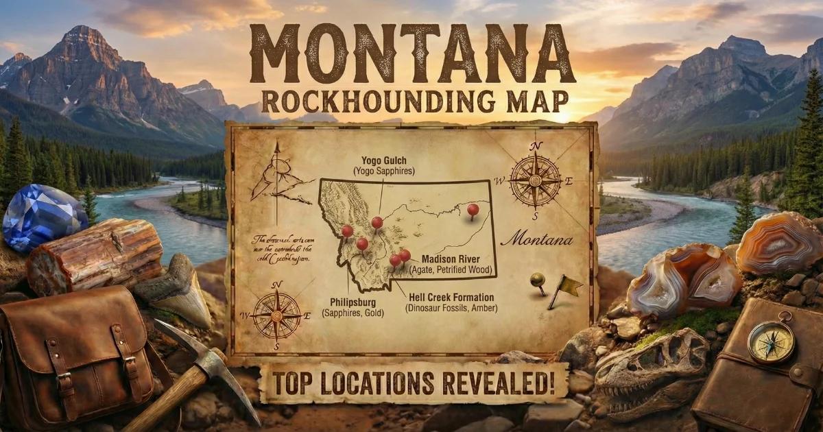
Montana: Agate Country with Geode Potential
Montana is agate country first and geode country second. The state's most famous collectible — the Montana agate — is a translucent chalcedony with dendritic manganese oxide inclusions that create landscapes, trees, and moss-like scenes frozen inside the stone. These are found primarily along the Yellowstone River between Billings and Miles City, where they have been washing out of Tertiary volcanic source rocks for millennia.
Most Montana agates are solid. But some have small cavities lined with quartz druzy, which technically makes them geodes. The western mountains also contain volcanic terrain that produces thunderegg-type nodules with hollow interiors. Montana is not a high-volume geode state, but the quality of the agate material and the sheer amount of open public land make it worth a dedicated collecting trip.
Geological Framework
Montana's agate and geode potential comes from two geological sources. The first is Tertiary-age volcanic rocks — rhyolite, andesite, and basalt flows and tuffs — that crop out across the western mountains and have been eroded eastward into the river systems. The Absaroka Volcanic Supergroup and the Lowland Creek Volcanics deposited thick sequences of volcanic rock during the Eocene epoch. Gas cavities in these flows filled with silica-bearing groundwater over millions of years, creating agates, chalcedony, and occasionally hollow crystal-lined nodules.
The second source is the river transport system itself. The Yellowstone River and Missouri River have been carrying volcanic cobbles and agates eastward from their mountain headwaters since the Tertiary. The gravel deposits along these rivers contain concentrated agate material — already sorted by size, already freed from matrix, already polished by water transport. This is why gravel-bar collecting along the Yellowstone is Montana's most productive collecting method.
Top Collecting Locations
1. Yellowstone River Gravel — Carbon, Stillwater, Yellowstone Counties
GPS (general area): 45.78°N, 108.50°W (Billings area river access) to 46.40°N, 105.84°W (Miles City area)
Land status: Public waterways; Montana Fish, Wildlife & Parks fishing access sites
Vehicle: 2WD to all fishing access sites
The Yellowstone River between Billings and Miles City is Montana's premier agate-collecting stretch. The river flows through a broad valley carved in Cretaceous and Tertiary sediments, and its gravel bars contain Montana agates transported from volcanic source rocks in the Absaroka Range and Yellowstone Plateau to the south and west.
Montana has an excellent public river access system. The Montana FWP maintains dozens of fishing access sites along the Yellowstone, each with parking and river access. Walk the exposed gravel bars during low water — late summer and early fall are best, when the spring snowmelt has receded and gravel bars are maximally exposed. Scan for translucent stones that glow when backlit by the sun. The best agates are nearly invisible when dry but light up when wet — carry a spray bottle or collect just after rain.
Some Montana agates have small druzy-lined cavities visible when the agate is held to light. These hollow agates are uncommon but turn up with persistence. A full day walking gravel bars between Billings and Forsyth will typically produce a handful of keeper agates and, if you are lucky, a specimen with a crystal-lined center.
2. Dryhead Area — Carbon County (Pryor Mountains)
GPS (general area): 45.10°N, 108.50°W (between Bridger and Bighorn Canyon)
Land status: BLM public land
Vehicle: High-clearance recommended; 4WD for backcountry roads
The Dryhead area on the eastern flank of the Pryor Mountains produces agate nodules and occasional geodes from Precambrian and Paleozoic host rocks. The terrain is dry, rugged, and sparsely vegetated — classic high-desert collecting. Chalcedony and agate deposits are scattered across the BLM land accessible from the road between Bridger and the Bighorn Canyon National Recreation Area.
Some of the agate nodules here have hollow centers with quartz crystal linings. The material tends to be earth-toned — cream, tan, brown, and rust — with occasional clear chalcedony. Walk the exposed ridges and washes slowly, scanning for the rounded shapes of nodules on the angular-fragment surface. This is remote country — carry water, GPS, and tell someone your plans.
3. Missouri River Breaks — Fergus, Chouteau Counties
GPS (general area): 47.70°N, 109.50°W (Upper Missouri River Breaks NM)
Land status: BLM (Upper Missouri River Breaks National Monument)
Vehicle: High-clearance 4WD for access roads; some areas boat-access only
The Missouri River Breaks — the deeply eroded canyon country along the Missouri River in central Montana — contain volcanic sediments that produce small agates and occasional geodes. The terrain is spectacular and access is limited, which means the area gets much less collecting pressure than the Yellowstone corridor. The Upper Missouri River Breaks National Monument is BLM-managed, but monument status may impose additional collecting restrictions. Contact the BLM Lewistown Field Office before planning a trip to confirm current rules on mineral collecting within the monument boundaries.
4. Gallatin Valley Area — Gallatin County
GPS (general area): 45.68°N, 111.05°W (Bozeman area)
Land status: Gallatin National Forest, BLM, private
Vehicle: 2WD for valley; high-clearance for forest roads
The volcanic rocks south and east of Bozeman — part of the Absaroka and Gallatin ranges — produce scattered thunderegg and geode-type nodules. The Gallatin River and its tributaries carry volcanic cobbles containing occasional hollow specimens. National Forest land south of Bozeman provides public access, though the terrain is mountainous and collecting sites are dispersed. This is grizzly bear habitat — carry bear spray and make noise.
5. Rock Creek Area — Granite County
GPS (general area): 46.35°N, 113.55°W
Land status: Lolo National Forest, BLM
Vehicle: High-clearance for forest roads
The Rock Creek drainage southwest of Missoula cuts through volcanic and metamorphic terrain. Collectors have reported small quartz geodes and agate nodules in the creek gravel and in road cuts through volcanic rock. The area is within the Lolo National Forest, which permits personal mineral collecting. Access is through forest roads off Highway 90 — road conditions vary seasonally.
What You Will Find: Montana Specimens
| Specimen Type | Typical Size | Common Interior | Where Found |
|---|---|---|---|
| Montana agate (solid) | 1–4 inches | Translucent chalcedony with dendritic inclusions | Yellowstone River gravel bars |
| Montana agate (hollow) | 1–3 inches | Druzy quartz center with dendritic chalcedony shell | Yellowstone River, uncommon |
| Agate nodule | 1–4 inches | Banded or moss agate, chalcedony | Dryhead area, Pryor Mountains |
| Thunderegg | 2–5 inches | Agate, jasper, or hollow with druzy | Western mountain volcanic sites |
| Quartz geode (small) | 1–3 inches | Clear to milky quartz crystals | Gallatin, Rock Creek |
How to Identify Montana Agates in the Field
Montana agates are best found wet. Walk the gravel bars and scan for translucent stones that catch the light differently from the surrounding opaque cobbles. On a sunny day, hold suspect stones up toward the sun — agates glow with transmitted light while ordinary gravel stays dark. After rain, the natural wetting effect makes agates stand out without any extra effort.
A spray bottle is your single most useful field tool for agate hunting. Spritz a suspect stone and watch for the translucency and internal patterns to appear. Dendritic inclusions — the black manganese oxide "trees" and "moss" that make Montana agates famous — become visible when the stone is wet.
Hollow agates and geodes feel lighter than solid specimens of the same size. Shake suspect stones gently near your ear — occasionally, loose crystal fragments or sediment inside will rattle. The best field test is to tap the specimen against another hard rock and listen for the higher-pitched ring of a hollow interior versus the dull thud of a solid stone.
Recommended Tools and Gear
- Spray bottle: The essential Montana agate-hunting tool. Makes translucent agates visible on dry gravel bars.
- 5-gallon bucket: For carrying your haul back from the gravel bar
- Rock hammer: For testing suspect specimens and cracking small geodes
- Wading shoes or sandals with grip: River gravel bars are slippery. Do not collect barefoot.
- Polarized sunglasses: Reduce glare on wet gravel and help spot translucent stones
- Bear spray: Mandatory in the Absarokas, Gallatin Range, and any backcountry west of Billings
- GPS or phone with offline maps: For backcountry BLM and forest collecting
- Sun protection and water: Eastern Montana is hot, dry, and exposed in summer
Legal Rules and Land Access
- River access: Montana has some of the best public river access laws in the country. The public has the right to use rivers and streams for recreation, including walking on exposed gravel bars below the ordinary high-water mark. Montana FWP fishing access sites provide legal parking and river entry points.
- BLM land: Standard casual collecting rules — 25 pounds per day plus one piece, up to 250 pounds per year. Non-commercial personal use.
- National Forest: Personal mineral collecting is permitted on Gallatin, Lolo, and other Montana National Forests. No commercial collecting without a special use permit.
- Upper Missouri Breaks NM: This is a BLM National Monument. Collecting rules may differ from standard BLM regulations. Check with the Lewistown Field Office.
- Private land: Fenced land along the Yellowstone River is private. Use designated fishing access sites for river entry. Do not cross fences.
- Best season: Late July through October for Yellowstone River gravel bars (after spring snowmelt recedes). June through September for mountain and backcountry sites. Winter closes most forest roads by November.
Browse our Montana rockhounding map for GPS coordinates and additional collecting locations.