
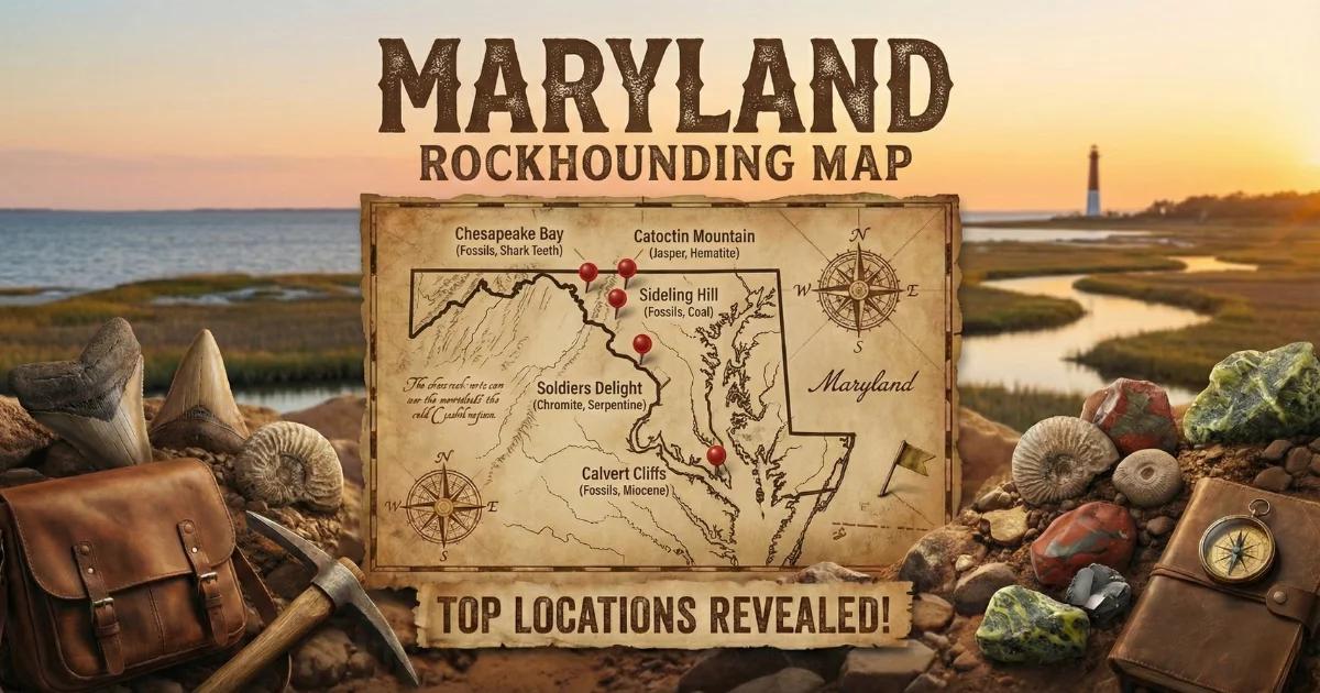
Maryland's Compact but Varied Geology
Maryland is a small state — barely 12,400 square miles — but it packs five physiographic provinces into that footprint: the Coastal Plain, Piedmont, Blue Ridge, Ridge and Valley, and Appalachian Plateau. That geological range means the rock types change dramatically as you drive west from the Chesapeake Bay toward Garrett County. For geode hunters, the western panhandle is where the action is. The Devonian and Silurian limestones exposed in Allegany and Garrett counties produce small quartz and calcite geodes, while the Piedmont in central Maryland offers quartz crystal pockets in metamorphic terrain.
True spherical geodes are uncommon in Maryland. You are more likely to find calcite-lined vugs in limestone, small quartz geodes weathered from Paleozoic formations, and crystal-filled pockets in Piedmont schist and gneiss. Set realistic expectations — this is not a high-volume collecting state — but the specimens you do find are satisfying, and the western Maryland landscape is worth the trip on its own.
Geological Framework
The western panhandle of Maryland sits on the same folded and faulted Paleozoic sedimentary sequence that runs through the central Appalachians from Pennsylvania to West Virginia. Devonian-age limestones and shales — the Helderberg Group, Oriskany Sandstone, and Hamilton Group — are exposed in valleys and along creek cuts. These carbonates dissolve over time, creating vugs and small cavities that fill with calcite and quartz crystals. The Mississippian-age Greenbrier Limestone in the far west occasionally produces geodes similar to those found across the border in West Virginia.
The Piedmont province in central Maryland is a completely different geological setting. Here, Precambrian and early Paleozoic metamorphic rocks — schist, gneiss, quartzite, and marble — have been folded and faulted during multiple mountain-building events. Quartz veins cutting through the metamorphic rock occasionally contain crystal-lined pockets. These are not classical geodes, but they produce collectible quartz crystal specimens.
Top Collecting Locations
1. Green Ridge State Forest — Allegany County
GPS (general area): 39.62°N, 78.45°W
Land status: Maryland State Forest (personal collecting may be permitted — contact forest manager before collecting)
Vehicle: AWD recommended for forest roads; 2WD for paved access
Green Ridge State Forest covers over 47,000 acres of mountain terrain in western Maryland, making it the largest block of public forest land in the state. The exposed Devonian and Silurian limestones along creek drainages contain calcite-lined vugs and occasional small quartz geodes ranging from 1 to 3 inches. The creek gravel throughout the forest is worth checking — look for round, rough-surfaced stones that feel heavier than sandstone cobbles of similar size.
The forest is dissected by deep hollows with permanent streams. Walk the exposed gravel bars during low water in late summer and early fall. Pay attention to limestone ledges along the creek banks where you can see vugs eroding out of the bedding planes. The best specimens tend to come from the Helderberg and Oriskany formations.
C&O Canal boundary: The Chesapeake & Ohio Canal National Historical Park runs along the Potomac River at the southern edge of Green Ridge. The towpath and the canal corridor are National Park Service land — all collecting is prohibited there. Stay on state forest land above the canal. The boundary is generally well-marked.
2. Savage River State Forest — Garrett County
GPS (general area): 39.53°N, 79.10°W
Land status: Maryland State Forest (check with forest manager)
Vehicle: AWD recommended; some roads require high-clearance
Garrett County is Maryland's westernmost and highest county, sitting on the Appalachian Plateau. The Mississippian and Devonian formations here are similar to those producing geodes across the border in West Virginia. Savage River State Forest, covering over 54,000 acres, provides the best public access. Creek gravel in the Savage River and its tributaries may contain small geodes — spherical to irregular nodules with quartz or calcite interiors.
The Greenbrier Limestone, exposed in the river valleys, is the formation most likely to produce geode-like specimens. Walk the stream gravel bars and check the exposed limestone banks for vugs. The forest is remote and heavily wooded — bring a GPS and plan your routes before heading in.
3. Potomac-Garrett State Forest — Garrett County
GPS (general area): 39.38°N, 79.40°W
Land status: Maryland State Forest
Vehicle: AWD for forest roads
Adjacent to Savage River State Forest, the Potomac-Garrett State Forest provides additional access to Devonian and Mississippian exposures. The Youghiogheny River and Deep Creek drainages cut through limestone and shale that occasionally yield small geodes and calcite crystal specimens. The Youghiogheny River is also accessible from Swallow Falls State Park, though state park collecting regulations may be more restrictive than state forest rules — confirm with park staff.
4. Patapsco Valley — Howard and Baltimore Counties (Piedmont)
GPS (general area): 39.28°N, 76.78°W
Land status: Patapsco Valley State Park and private land
Vehicle: 2WD
The Patapsco River cuts through Piedmont metamorphic rock — schist, gneiss, and amphibolite — exposing quartz veins with occasional crystal-lined pockets. These are not classic geodes but produce small vugs with clear quartz crystals. Road cuts and construction sites in the Patapsco Valley have historically produced quartz specimens. Collecting in Patapsco Valley State Park requires checking with park management — some areas may allow surface collecting while others are restricted.
5. Frederick County — Piedmont/Blue Ridge Transition
GPS (general area): 39.42°N, 77.42°W
Land status: Mixed private and public; Catoctin Mountain Park and Cunningham Falls State Park nearby
Vehicle: 2WD
Frederick County sits at the transition between the Piedmont and Blue Ridge provinces. The Cambrian and Ordovician carbonates in the Monocacy River valley produce calcite vugs in quarries and road cuts. The metamorphic rocks along Catoctin Mountain contain quartz veins with pockets. Catoctin Mountain Park (NPS) prohibits collecting; Cunningham Falls State Park (Maryland DNR) has its own regulations — check before collecting. Private quarries in the limestone valleys have historically produced crystal specimens, but access requires permission.
What You Will Find: Maryland Specimens
| Specimen Type | Typical Size | Common Interior | Where Found |
|---|---|---|---|
| Calcite vug | 1–4 inches | Dog-tooth spar, rhombic calcite | Green Ridge, Garrett Co. limestones |
| Quartz geode (small) | 1–3 inches | Clear to milky quartz druzy | Allegany and Garrett Co. creek gravel |
| Quartz crystal pocket | 1–2 inches | Clear quartz points in schist/gneiss | Patapsco Valley, Frederick Co. |
| Septarian concretion | 2–6 inches | Calcite veins in mudstone | Devonian shale exposures, western MD |
How to Identify Specimens in the Field
In western Maryland creek gravel, look for round to oval stones that stand out from the flat limestone slabs and sandstone cobbles. Geodes tend to be roughly spherical with a bumpy, weathered exterior. Pick them up — if they feel lighter than a solid limestone cobble of the same size, they may be hollow. Tap two suspect stones together and listen for a hollow ring.
Calcite vugs in exposed limestone ledges appear as open pockets, sometimes with visible crystal faces catching sunlight. Wet the rock surface with your spray bottle to make the crystal-lined cavities stand out. Dog-tooth spar calcite has characteristic pointed terminations that are easy to identify once you have seen them.
In the Piedmont, quartz crystal pockets in metamorphic rock are usually visible as white quartz vein material in darker host rock. Look for the glassy luster of crystal faces as opposed to the waxy or dull surface of massive quartz.
Recommended Tools and Gear
- Rock hammer and cold chisel: For extracting vugs from limestone outcrops
- Sturdy boots: Creek collecting involves wading; waterproof hiking boots are essential in western Maryland
- Safety glasses: Always wear eye protection when hammering rock
- 5-gallon bucket: For carrying creek-collected specimens
- Spray bottle: Wetting rock surfaces makes crystal pockets visible
- GPS or phone with offline maps: Cell service is spotty in western Maryland state forests
- Newspaper: For wrapping fragile calcite specimens
Legal Rules and Access
- State forests: Maryland does not have a blanket statewide policy on mineral collecting in state forests. Contact the individual forest manager before collecting. Green Ridge, Savage River, and Potomac-Garrett state forests each have their own management offices.
- State parks: Policies vary by park. Some Maryland state parks prohibit all collecting; others permit limited surface collecting. Always check with park staff.
- C&O Canal NHP: The Chesapeake & Ohio Canal National Historical Park prohibits all collecting. The canal corridor extends from Georgetown to Cumberland. Stay off NPS land.
- Catoctin Mountain Park: NPS unit — all collecting prohibited.
- Private land: Much of Maryland is privately owned. Get written permission before entering.
- Best season: Late summer and early fall, when creek levels drop and expose gravel bars in western Maryland. Spring floods can make creek access dangerous.
Browse our Maryland rockhounding map for GPS coordinates and additional collecting locations.