
Why Louisiana Does Not Produce Geodes
Louisiana is a geologist's case study in depositional environments, but it is one of the worst states in the country for geode hunting. The entire state sits on unconsolidated sediments — river-deposited sand, silt, clay, and gravel laid down by the Mississippi River and its tributaries over the last 65 million years. There is no exposed bedrock anywhere in Louisiana.
Geodes require solid host rock. Sedimentary geodes form in limestone and dolostone formations, typically Mississippian age (340 million years old). Volcanic geodes form in basalt and rhyolite flows. Louisiana has neither. The closest thing to bedrock at the surface is compacted Tertiary-age clay and sand in the northern hill parishes, and even these are soft, unconsolidated sediments — not the kind of rock that produces geodes.
Louisiana's geology is young, soft, and flat. The southern half of the state is essentially a delta — the Mississippi River has been building and rebuilding its delta for millions of years, depositing layer after layer of mud, silt, and sand. The northern half (the hill parishes above the Red River) has slightly older Tertiary sediments, but these are still sand and clay, not limestone or volcanic rock.
The one exception is that rivers flowing into Louisiana from Arkansas, Mississippi, and the Ouachita Mountains carry gravel that includes stones from upstream bedrock formations. Occasionally, small geodes and agate nodules turn up in this transported gravel. They did not form in Louisiana — they were carried here by water.
What You Can Actually Find
Louisiana's real collecting opportunities center on three things: transported gravel specimens, petrified wood, and iron concretions.
Transported gravel specimens. Northern Louisiana's Quaternary alluvial gravels contain material carried south from the Ouachita Mountains of Arkansas, the Ozark Plateau of Missouri, and the Mississippi Valley Keokuk geode belt. Small quartz geodes (1-3 inches), agate nodules, chert, and jasper pebbles all turn up in gravel pits and creek beds. These are real geodes — they just formed somewhere else.
Petrified palmwood. Louisiana's state fossil is petrified palmwood (Palmoxylon). This silicified palm wood comes from Oligocene-age sediments (roughly 25-35 million years old) and is found across central and northern Louisiana. When polished, it shows a distinctive pattern of spots (the palm's vascular bundles) that makes it immediately recognizable. It takes an excellent polish and is used in lapidary work.
Iron concretions. Ironstone concretions form in Louisiana's iron-rich sediments when dissolved iron precipitates around a nucleus (often organic material) in the soil. These are sometimes mistaken for geodes because they are round, heavy, and look like they might be hollow. They are not. Break one open and you will find solid iron oxide, sometimes with interesting banding patterns but no crystal cavity.
Collecting Locations
1. Northern Louisiana Gravel Pits — Claiborne and Lincoln Parishes
GPS: 32.5200°N, 92.7300°W (general Ruston/Homer area)
Land status: Private commercial operations — permission required
Vehicle: 2WD to pit offices; conditions vary inside pits
The gravel pits in the hill parishes of northern Louisiana mine Quaternary alluvial deposits — ancient river gravel that accumulated in the Ouachita River and Red River drainages. This gravel contains a geological grab bag of material transported from upstream formations in Arkansas and the Ozarks.
In these gravels, you may find small Keokuk-type quartz geodes (transported down the Mississippi system), agate and chalcedony nodules, chert in various colors, jasper pebbles, petrified wood fragments, and occasionally quartz crystals weathered from Ouachita Mountain formations.
Access is entirely dependent on the pit operator. Some operators allow hobbyist collecting; others do not. Call ahead. Bring your own safety gear (hard hat, steel-toed boots, safety vest) — these are active industrial sites. Stay away from equipment, working faces, and haul roads unless the operator specifically clears you to be there.
2. Cane River and Red River Gravel Bars — Natchitoches Parish
GPS: 31.7600°N, 93.0900°W (Natchitoches area)
Land status: Public waterways below ordinary high water mark
Vehicle: 2WD to access points
The Red River and its tributaries (including the Cane River) carry gravel from the Ouachita Mountains and the Texas/Oklahoma Red Beds region. At low water, gravel bars along these rivers expose a mix of chert, quartzite, agate, and petrified wood. Occasional small geode-like nodules (mostly solid agate rather than hollow) turn up in the coarser gravel.
The best collecting is in late summer and early fall when river levels are lowest. Focus on gravel bars at the inside of river bends, where the current deposits the heaviest material. Look for stones that are unusually round, heavy for their size, or show concentric banding when wet.
Louisiana law allows collecting from navigable waterways below the ordinary high water mark. Do not cross fences or enter private land to reach the river. Use public boat ramps and bridge access points.
3. Petrified Wood Sites — Central Louisiana
GPS: 31.3100°N, 92.4500°W (general Alexandria/Leesville area)
Land status: Mixed public/private
Vehicle: 2WD for most sites
Petrified palmwood occurs in a belt across central Louisiana from roughly Leesville east through Alexandria to Vidalia. The wood weathers out of Oligocene-age Catahoula Formation sediments. Road cuts, construction sites, plowed fields, and creek banks are all productive.
The best specimens show clear vascular bundle patterns — circular spots (like polka dots) in cross-section, or elongated streaks in longitudinal cuts. Colors range from brown and tan to red, yellow, and occasionally blue-gray. Some pieces are large enough for bookends or display slabs.
Kisatchie National Forest covers portions of central Louisiana and allows personal collecting of reasonable quantities of rocks and minerals (including petrified wood) for non-commercial use. Check with the Kisatchie Ranger District office for current rules.
4. Bossier Parish Gravel — Northwest Louisiana
GPS: 32.5300°N, 93.6700°W (general Bossier City area)
Land status: Private gravel operations and public waterways
Vehicle: 2WD
Bossier Parish sits where the Red River deposits gravel carried from the Ouachita Mountains. Creek beds and gravel operations here produce the same transported material found elsewhere in northern Louisiana — chert, agate, jasper, and occasional small geode-like nodules. The Bodcau Creek drainage is particularly productive for gravel scanning.
Public access is limited. Creek collecting below the high water mark on navigable waterways is allowed. Gravel pits require operator permission.
Specimens You May Find
| Specimen | Where Found | Notes |
|---|---|---|
| Petrified palmwood | Central LA (Catahoula Formation belt) | State fossil; distinctive spotted pattern; takes good polish |
| Small quartz geodes (transported) | Northern LA gravel pits | 1-3 inches; originated upstream in Keokuk belt |
| Agate/chalcedony nodules | Gravel pits, river bars | Transported from Ouachita Mountains; mostly solid |
| Iron concretions | Statewide in iron-rich sediments | Round, heavy, solid iron oxide — not geodes |
| Chert and jasper | Northern LA gravel, river bars | Various colors; transported from upstream bedrock |
| Petrified wood (non-palm) | Gravel pits, creek beds | Silicified hardwoods and conifers; less distinctive than palmwood |
| Quartzite cobbles | River gravel statewide | Hard, smooth, white to pink; from Ouachita Mountains |
Field Identification Tips
Iron concretions vs. geodes: This is the most common mistake in Louisiana. Both are round and heavy. The difference: geodes have a chalky or rough outer rind and feel lighter than expected for their size (because they are hollow). Iron concretions are uniformly heavy, often have a rusty surface, and are solid throughout. Tap two stones together — a geode sounds slightly hollow; a concretion sounds dead solid. When in doubt, break one. Concretions show solid iron oxide inside. Geodes show crystals.
Identifying petrified palmwood: Look for the spot pattern. In cross-section, petrified palmwood shows small circular dots (vascular bundles) scattered across a matrix. No other petrified wood has this pattern. When wet, the pattern becomes much more visible. Carry a water bottle to wet suspicious stones in the field.
Agate vs. chert: Both are forms of microcrystalline silica, but agate shows translucency and banding when held to light. Chert is opaque. Both are hard (Mohs 7), break with conchoidal fracture, and are useful for lapidary work.
Testing for silicification: Petrified wood should scratch glass (Mohs 7 if fully silicified). If the specimen is soft and crumbly, it is partially petrified or just stained clay. Fully silicified wood is dense, hard, and rings when tapped.
Recommended Tools
- 5-gallon bucket — for carrying gravel pit and creek specimens
- Rock hammer (16 oz) — for testing concretions and cracking small specimens
- Safety glasses — mandatory in gravel pits and when breaking stone
- Hard hat and safety vest — required for gravel pit access
- Water bottle — for wetting stones to check patterns (especially petrified wood)
- Hand lens (10x) — for examining crystal cavities in small geodes
- Knee pads — gravel bar collecting involves a lot of kneeling and crawling
- Wading shoes or rubber boots — for creek and river gravel bar access
Legal Notes
Gravel pits: All commercial gravel operations in Louisiana are on private land. You must have the operator's permission to enter. Liability concerns mean many operators will say no. Ask politely and accept the answer.
Navigable waterways: Louisiana law allows public access to navigable waterways below the ordinary high water mark. You can collect from exposed gravel bars on the Red River, Ouachita River, and their navigable tributaries. Do not cross private land to reach the water — use public access points.
Kisatchie National Forest: The only National Forest in Louisiana. Personal collecting of reasonable quantities of rocks, minerals, and petrified wood is generally permitted for non-commercial use. Do not use heavy equipment or explosives. Check with the ranger district for current rules.
State Parks: Louisiana state parks generally prohibit removing natural materials. Do not collect rocks, fossils, or petrified wood from state park lands.
Better Options Nearby
If you are serious about geode hunting, Louisiana is a staging area, not a destination. These nearby states produce real geodes:
- Mount Ida, Arkansas — 4 hours from Shreveport. Fee-dig quartz crystal mines producing world-class clear quartz points and clusters.
- Tishomingo County, Mississippi — 5 hours from Baton Rouge. Small quartz and calcite geodes in Paleozoic creek gravel.
- Texas Hill Country — 5-6 hours from Shreveport. Agate, geode, and fossil collecting in Cretaceous limestone terrain.
- Keokuk, Iowa — 12 hours north. The mother lode of Midwestern geodes if you are willing to make the drive.
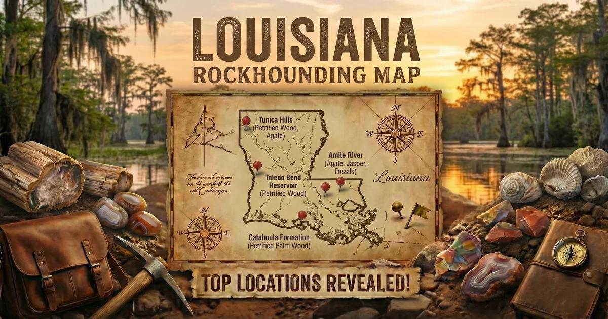
Browse all Louisiana collecting sites on our interactive Louisiana rockhounding map.