
Kansas: Geodes from Paleozoic Seas
Kansas does not have the name recognition of Missouri or Iowa when it comes to geode collecting, but the geology does not care about state lines. The same Mississippian-age limestones that produce geodes across the tri-state area of Iowa, Missouri, and Illinois extend into the southeastern corner of Kansas. The Flint Hills produce chert nodules with occasional crystal-lined cavities. And scattered across the Smoky Hills and western Kansas, you will find selenite crystals, septarian concretions, and the famous Dakota Formation concretions that draw geological interest if not classic geode specimens.
Kansas sits on a thick, essentially flat-lying sequence of Paleozoic and Mesozoic sedimentary rocks — limestones, shales, sandstones, and evaporites. There is no volcanic rock and no metamorphic basement at the surface anywhere in the state. Every geode and crystal cavity in Kansas formed through sedimentary and diagenetic processes: silica or calcite precipitating in voids within limestone, shale, or chalk.
Geological Framework
The geode-producing geology in Kansas breaks into three zones. In the far southeast (Cherokee, Crawford, and Labette counties), Mississippian-age limestones crop out at the surface. These are the same formations — including the Burlington and Keokuk limestones — that produce geodes across the border in Missouri and Oklahoma. The geodes formed the same way: silica replaced anhydrite nodules within the limestone, creating chalcedony shells with quartz crystal interiors.
The Flint Hills — a north-south band of tallgrass prairie from the Oklahoma border to the Nebraska border — are underlain by Permian-age limestones studded with chert (flint) nodules. Most chert nodules are solid, but some have small crystal-lined vugs or partially hollow centers. The chert is Permian in age (roughly 290 to 250 million years old), younger than the Mississippian geode-bearing formations to the southeast.
In central and western Kansas, the Cretaceous chalk and shale formations (the Niobrara Chalk, Dakota Sandstone, and Greenhorn Limestone) produce septarian concretions, calcite-filled vugs, and selenite crystals rather than traditional geodes. These are worth collecting in their own right, even though they do not fit the classic geode mold.
Top Collecting Locations
1. Southeastern Kansas — Cherokee, Crawford, Labette Counties
GPS (general area): 37.15°N, 94.75°W (Columbus, Cherokee Co. area)
Land status: Public waterways; surrounding land is mostly private farmland (ask permission)
Vehicle: 2WD
The far southeastern corner of Kansas is the state's best geode territory. Mississippian-age limestones crop out in the creek valleys and road cuts, and the streams draining into the Neosho River and Spring River carry geodes eroded from these formations. The geodes are typically 1 to 4 inches in diameter — small to medium — with quartz druzy, calcite, or chalcedony interiors. Some specimens have mixed fills: quartz on one side, calcite on the other.
This is the same geological belt that produces geodes in southwestern Missouri and northeastern Oklahoma. The formation does not change character at the state line; only the number of collectors decreases. Work the gravel bars during low water in late summer. Look for round, rough-surfaced stones that are heavier or lighter than expected — heavier means crystal-filled, lighter means hollow with open space. Most productive access crosses private farmland. Ask the landowner before entering — farmers in this part of Kansas are generally receptive if you explain what you are doing, stay on the creek, and close gates.
2. Flint Hills — Chase, Morris, Lyon Counties
GPS (general area): 38.43°N, 96.55°W (Chase County, along the Kansas Turnpike/I-35)
Land status: Road cuts along public highways; Tallgrass Prairie National Preserve (collecting prohibited); private ranch land
Vehicle: 2WD
The Flint Hills are built on Permian-age limestones interbedded with shale. The limestone layers are packed with chert (flint) nodules — gray, brown, and tan siliceous masses that resist weathering and litter the slopes. Most chert nodules are completely solid, but a small percentage have internal vugs lined with tiny quartz crystals. These partially hollow chert nodules are the Flint Hills' version of a geode.
The road cuts along the Kansas Turnpike (I-35/US-77) between Emporia and Cassoday expose the chert-bearing limestone layers in cross-section. Pull off at safe locations and examine the exposed beds for nodules with visible cavities. The Tallgrass Prairie National Preserve near Strong City does not permit collecting — stay outside the preserve boundaries. Private ranch land covers most of the Flint Hills; ask ranchers for permission to walk their creek drainages.
3. Rock City — Ottawa County
GPS (general area): 39.10°N, 97.70°W (near Minneapolis, Kansas)
Land status: Private tourist site (small admission fee)
Vehicle: 2WD
Rock City is a geological curiosity rather than a geode site, but it is worth a stop if you are collecting in central Kansas. The site features over 200 Dakota Sandstone concretions — spherical to oblong masses up to 27 feet in diameter, formed by calcium carbonate cementation within the Cretaceous sandstone. These are not geodes (they are solid), but the formation process is related. Smaller septarian concretions in the surrounding area sometimes have calcite crystal-filled cavities that qualify as crystal-bearing nodules.
4. Galena Area — Cherokee County
GPS (general area): 37.07°N, 94.64°W
Land status: Public waterways, old mining lands (verify ownership), private
Vehicle: 2WD
The Galena area in the far southeastern tip of Kansas was historically a lead and zinc mining district — part of the Tri-State Mining District that extended into Missouri and Oklahoma. The mining activity exposed large volumes of Mississippian-age limestone, and the mine dumps and disturbed ground contain scattered geodes along with lead (galena) and zinc (sphalerite) specimens. Some of the old mine sites are on public or abandoned land, but ownership can be complicated. Check with the Cherokee County Register of Deeds or the Kansas Geological Survey for current land status. The creek gravel in the area also produces geodes.
5. Gypsum Hills — Barber County
GPS (general area): 37.00°N, 98.55°W
Land status: Private ranch land (ask permission); some road cuts
Vehicle: 2WD
The Red Hills or Gypsum Hills in south-central Kansas expose Permian-age gypsum and shale formations. While these do not produce classic quartz geodes, the gypsum beds contain selenite crystals — transparent to translucent gypsum crystals that form in clay pockets and vugs. Some selenite specimens are large (6 inches or more) and well-formed. The road cuts along US-160 and Kansas Highway 2 expose the gypsum-bearing beds. Selenite is soft (Mohs hardness 2) and scratches easily — wrap specimens carefully.
What You Will Find: Kansas Specimens
| Specimen Type | Typical Size | Common Interior | Where Found |
|---|---|---|---|
| Quartz geode | 1–4 inches | Clear to milky quartz druzy | SE Kansas creek gravel |
| Calcite geode | 1–4 inches | Dog-tooth spar, rhombic calcite | SE Kansas creek gravel |
| Chert nodule (with vug) | 2–6 inches | Solid chert with small quartz-lined cavity | Flint Hills road cuts |
| Selenite crystal | 1–8 inches | Transparent gypsum crystal | Gypsum Hills, Barber Co. |
| Septarian concretion | 3–12 inches | Calcite-filled fractures in mudstone | Central Kansas, Dakota Fm. |
| Galena/sphalerite vug | 1–3 inches | Lead and zinc sulfide crystals | Galena area mine dumps |
How to Identify Specimens in the Field
In southeastern Kansas creek gravel, use the same methods that work across the Mississippian geode belt. Look for round, rough-textured stones among the flat limestone slabs and angular chert fragments. Geodes stand out by shape — they are rounder and smoother than the surrounding debris. The weight test is reliable: pick up a suspect stone and compare it to a limestone cobble of similar size. Lighter means hollow. A gentle tap against another rock produces a distinctive ring if there is an open cavity inside.
Flint Hills chert nodules with internal vugs are harder to identify without breaking them. The best field clue is a nodule that is slightly lighter than expected for its size, or one that has a visible opening or crack showing crystal faces inside. Many collectors in the Flint Hills simply collect a selection of chert nodules and cut them at home with a diamond saw.
Selenite crystals in the Gypsum Hills are easy to identify. They are transparent to translucent, with flat crystal faces and a distinctive rhombic habit. You can scratch selenite with a fingernail — it is very soft. Handle with care.
Recommended Tools and Gear
- 5-gallon bucket: Standard geode-collecting container for creek work
- Rock hammer: For cracking small geodes and testing specimens in the field
- Wading shoes or rubber boots: Creek collecting means wet feet
- Newspaper and small boxes: For wrapping selenite and calcite — both scratch easily
- Spray bottle: Wetting creek gravel makes geode shapes stand out
- Sunscreen and hat: Kansas summers are hot, and creek gravel bars offer no shade
- Kansas county maps or phone with offline maps: For finding creek access points on rural roads
Legal Rules and Access
- Private land: Most Kansas collecting sites are on private farmland or ranch land. Permission is essential. Approach landowners honestly — explain that you are looking for rocks in the creek, you will stay on the waterway, and you will close gates behind you. Success rate for permission is high in rural Kansas.
- Public waterways: Kansas law allows public use of navigable waterways. You can collect from exposed gravel bars below the ordinary high-water mark on navigable streams. Non-navigable streams on private land require landowner permission.
- Tallgrass Prairie National Preserve: All collecting is prohibited within the preserve boundaries.
- Old mining lands: Ownership of former Tri-State Mining District land can be complicated. Verify before entering.
- Road cuts: Collecting from road cuts on public highways is generally tolerated in Kansas. Park safely off the roadway and stay within the right-of-way. Do not block traffic or create a hazard.
- Best season: Late summer through early fall (August through October) when creek levels are lowest and gravel bars are exposed. Spring runoff floods Kansas creeks unpredictably — avoid creek collecting during or after heavy rain.
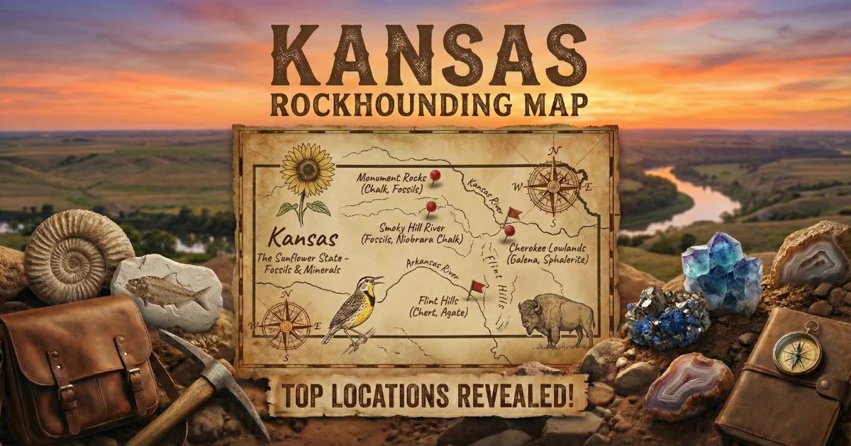
See our Kansas rockhounding map for GPS coordinates and additional collecting locations.