
Illinois Geode Geology
Western Illinois sits on the same Mississippian-age Warsaw and lower Keokuk limestone formations that make southeastern Iowa the geode capital of the country. These formations were deposited roughly 340 million years ago in a shallow tropical sea that covered the midcontinent. The Warsaw Formation is a dolomitic limestone with interbedded shale layers, and it is within this unit that geodes formed — replacing fossil shells, concretions, and carbonate nodules through a complex process of silica replacement and crystal growth.
The geode-producing belt runs through Hancock, Henderson, Adams, and parts of McDonough and Schuyler counties along the Mississippi River and its tributary drainages. The formation dips gently to the east, so the best exposures are in the western part of the state where streams have cut through the overlying rock and exposed the Warsaw limestone in bluffs, creek banks, and road cuts. Erosion does the heavy lifting for you — geodes weather out of the soft limestone matrix and accumulate in creek gravel, making surface collecting the primary method.
The geode-forming process here involved silica-rich groundwater penetrating the porous limestone and replacing carbonate with chalcedony and quartz. The outer shell of each geode is a tough chalcedony rind, while the interior crystals grew inward from that shell over millions of years. The result is spherical to oblong geodes ranging from marble-sized to basketball-sized, though most are 2 to 6 inches in diameter.
Top Collecting Sites
1. Hamilton Area (Hancock County)
GPS: Approximately 40.39°N, 91.34°W (town of Hamilton)
Land status: Public waterways; private farmland (permission required for upland access)
Vehicle: 2WD sedan for paved road access to creek crossings
Hamilton sits directly on the Warsaw Formation bluffs above the Mississippi River and is the epicenter of Illinois geode collecting. The town is just across the river from Keokuk, Iowa — the city that gave Keokuk geodes their name. Creeks draining south and west into the Mississippi cut through the geode-bearing limestone and deposit specimens in gravel bars.
The bluffs south and east of Hamilton expose the Warsaw Formation in vertical cuts 50 to 150 feet high. Erosion constantly releases geodes from these exposures. The most productive collecting is in the creek gravel itself — walk upstream from road crossings, scanning the gravel bars for the distinctive round shapes. Geodes are noticeably heavier than the surrounding limestone cobbles and have a rougher, knobby texture. Many landowners in the Hamilton area will grant access if you ask politely. Knock on doors, introduce yourself, and explain that you are looking for geodes. Most farmers have been asked before and many say yes.
2. Nauvoo Area (Hancock County)
GPS: Approximately 40.55°N, 91.38°W
Land status: Public waterways; some state-managed land along the Mississippi bluffs
Vehicle: 2WD
Nauvoo, the historic Mormon settlement on the Mississippi River bluffs, sits on productive Warsaw Formation limestone. The bluffs here stand 150 or more feet above the river, and the ravines and seasonal creeks cutting through them carry geodes down to the floodplain. After heavy rains, the seasonal drainages around Nauvoo flush fresh geodes into the gravel. Surface collecting along these creek channels and in the floodplain gravel bars is reliable.
The area between Nauvoo and Hamilton — roughly 15 miles of Mississippi River bluff — is one continuous geode-producing zone. County roads cross several productive creeks. Park at road bridges and walk the creek channel in either direction. Late summer and early fall, when water levels are at their lowest, expose the most gravel bar area and make wading easy.
3. Adams County (Quincy Area)
GPS: Approximately 39.93°N, 91.41°W
Land status: Public waterways; road right-of-ways
Vehicle: 2WD
Streams in Adams County around Quincy cut through both the Warsaw and lower Keokuk formations. Bear Creek and its tributaries produce geodes in the creek gravel. County road cuts through the formation occasionally expose geode-bearing beds in fresh limestone. The geodes from Adams County tend to be slightly smaller on average than the Hancock County specimens, but the mineral variety is the same — quartz, calcite, and occasional sulfide minerals.
4. Henderson County
GPS: Approximately 40.82°N, 90.93°W
Land status: Public waterways; private farmland
Vehicle: 2WD
Henderson County, north of Hancock County along the Mississippi, has less-visited but still productive Warsaw Formation exposures. The streams here are smaller and less accessible than the Hancock County creeks, which means they see less collecting pressure. If you are willing to walk a bit farther and work smaller drainages, Henderson County can produce excellent specimens that have not been picked over.
5. Road Cuts and Quarries (Hancock and McDonough Counties)
GPS: Varies
Land status: State highway right-of-ways (surface collecting only); private quarries (permission required)
Vehicle: 2WD
Road construction and quarrying through the Warsaw Formation regularly expose fresh geode-bearing limestone. Highway road cuts along US-136 and Illinois Route 9 in Hancock and McDonough counties have produced geodes. Pull off safely, stay on the right-of-way, and check the exposed formation face. Active quarries in the area occasionally allow collecting — ask the quarry operator. Do not enter active quarries without explicit permission and appropriate safety gear.
Specimens You Can Expect to Find
| Specimen | Interior Fill | Typical Size | Rarity |
|---|---|---|---|
| Quartz Druzy Geode | Clear to milky white quartz crystal druzy | 2 - 8 inches | Common |
| Calcite Geode | Scalenohedral calcite crystals (dogtooth spar) | 2 - 6 inches | Common |
| Chalcopyrite-bearing Geode | Brassy yellow metallic chalcopyrite on quartz | 2 - 5 inches | Uncommon |
| Sphalerite Geode | Dark brown to black sphalerite crystals | 2 - 4 inches | Uncommon |
| Millerite Geode | Hairlike brass-colored nickel sulfide needles | 2 - 4 inches | Rare |
| Kaolinite-filled Geode | White clay powder (crumbly interior) | 2 - 6 inches | Common |
| Solid Dud | Completely filled with chalcedony or quartz (no cavity) | 2 - 6 inches | Common |
Recommended Tools and Gear
- 5-gallon bucket: The standard geode-hauling container. Bring two — one for keepers, one for maybes.
- Rock hammer (3 lb crack hammer): For testing and opening small geodes in the field. Strike cleanly along the equator for the best split.
- Chisel (cold chisel, 3/4 inch): Score a line around the geode's equator before cracking for a cleaner break.
- Newspaper: Wrap each geode individually to protect crystal faces during transport.
- Rubber boots or waders: Creek collecting means wet feet. Knee-high rubber boots are sufficient for most creeks in summer.
- Pipe cutter (soil pipe snap cutter): The best tool for opening geodes cleanly at home. Available at plumbing supply stores. Creates symmetrical halves.
- Sunscreen and water: Creek bottoms in western Illinois have limited shade in summer.
Legal Rules and Access
Public Waterways: In Illinois, navigable waterways and the gravel bars within them are generally accessible for recreational activities including rock collecting. You can collect from creek gravel without permission as long as you access the creek from a public road crossing or bridge and stay within the waterway channel.
Private Land: Most productive creek access in western Illinois crosses private farmland. Do not climb fences, cut through crop fields, or park on private property without the landowner's permission. The farming community in Hancock and Adams counties is generally welcoming to geode hunters who ask first. Introduce yourself, explain what you are collecting, and offer to show the landowner what you find.
State Parks: Illinois state parks have varying rules on mineral collecting. Check with park staff before collecting. Some parks allow surface collecting in designated areas; others prohibit it entirely.
Quantity: There is no formal collecting limit on private land (that is between you and the landowner) or public waterways for personal use. Do not collect with the intent to sell commercially without appropriate permits.
Best Season to Collect
Late summer through mid-fall is the prime season. Creek water levels drop to their lowest point, exposing the maximum amount of gravel bar area. You can wade most creeks in rubber boots without getting wet above the knee. Spring is also productive — the floods that come with snowmelt and spring rains recharge gravel bars with fresh geodes eroded from upstream bluffs — but water levels may be too high for safe wading until June.
After any significant rain event, check your favorite creeks within a week. The fresh water scours new geodes out of the formation and deposits them in the gravel downstream. The cycle of erosion and deposition is continuous, so a creek that seems picked over can be productive again after a single heavy storm.
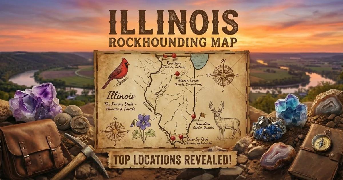
Browse our Illinois rockhounding map for GPS coordinates and access details on all collecting locations.