
Arkansas Quartz and Geode Geology
Arkansas sits at the intersection of several geological provinces, and the one that matters most for crystal hunters is the Ouachita Mountains — a folded and faulted belt of Paleozoic sedimentary rocks that runs east-west across the western half of the state. The Ouachitas formed during the late Paleozoic when the South American and African plates collided with North America, crumpling the seafloor sediments into tight folds and thrust faults. This deformation created fractures and open spaces in the rock that later became the plumbing system for silica-rich hydrothermal fluids.
The quartz crystal deposits around Mount Ida in Montgomery County are the direct result of that tectonic history. Hot, silica-saturated fluids moved through fractures in the Stanley Shale and Arkansas Novaculite formations, depositing quartz crystals in open cavities, veins, and pockets. These crystal pockets — hollow spaces lined with quartz points growing inward — are functionally identical to geodes. When you open one, you find the same thing: a void ringed with crystals. The difference is that Arkansas crystal pockets formed from hydrothermal fluids in a mountain-building setting, not from groundwater in a shallow marine limestone like Midwestern Keokuk geodes.
Beyond the quartz crystal mines, streams throughout the Ouachitas carry small chalcedony and quartz geodes in their gravel. These formed in concretions and nodules within the Ordovician and Silurian formations that underlie the region. They are modest in size — typically 1 to 4 inches — but they are genuine hollow geodes with druzy quartz interiors, and they are free for the picking in creek gravel on National Forest land.
Top Collecting Sites
1. Mount Ida Fee-Dig Crystal Mines (Montgomery County)
GPS: Approximately 34.55°N, 93.63°W (town of Mount Ida)
Land status: Private fee-dig operations — multiple mines in the area
Vehicle: 2WD to most mine parking areas; some require high-clearance for the last stretch
Mount Ida is the quartz crystal capital of the United States. Several private mines operate fee-dig programs that let you dig for quartz crystals in the crystal-bearing red clay and sandstone. Operations include Twin Creek Crystal Mine, Fiddler's Ridge Rock Shop and Crystal Mine, Board Camp Crystal Mine, and others. Fees range from $20 to $50 per person per day, and most operate spring through fall with reduced winter hours.
What you find depends on luck and effort. The red clay overburden in the mines contains loose quartz points, clusters, and occasionally crystal-lined pockets that are true geodes in form. Clear (water-clear) points are the most prized. Smoky quartz, phantom quartz (with ghost inclusions of earlier growth stages), and milky quartz are all common. Some mines expose the crystal-bearing veins in the Stanley Shale, allowing you to extract specimens from the source rock. Others have you digging through processed overburden piled by previous mining operations. Call ahead to confirm hours, fees, and what tools to bring — some mines provide tools, others require your own.
2. Ouachita National Forest (Montgomery, Garland, and Hot Spring Counties)
GPS: Approximately 34.60°N, 93.40°W (forest access west of Hot Springs)
Land status: Ouachita National Forest — personal collecting permitted
Vehicle: AWD or high-clearance for forest roads; 2WD for paved access
The Ouachita National Forest covers over 1.8 million acres across western Arkansas and southeastern Oklahoma, and much of it sits on crystal-producing geology. Personal collecting of quartz crystals, small geodes, and mineral specimens is permitted on National Forest land for non-commercial use. No permit is required for personal collecting.
The most productive collecting on National Forest land is in creek drainages. Streams cutting through the Stanley Shale and Arkansas Novaculite carry quartz crystals and small geodes in their gravel. Walk creek channels and scan the gravel bars — quartz points and crystal fragments wash out of the hillsides after every rain. The Crystal Mountain area (near Crystal Springs) and the drainages feeding into Lake Ouachita are good starting points. Forest roads in the area provide access to remote creek systems that see less collecting pressure than the well-known fee-dig mines.
3. Crater of Diamonds State Park (Pike County)
GPS: Approximately 34.03°N, 93.68°W
Land status: Arkansas State Park — fee-based collecting
Vehicle: 2WD
This is the only diamond-bearing site in the United States open to the public. The collecting surface is a 37-acre plowed field over a lamproite volcanic pipe — the eroded remnant of a volcanic eruption that brought diamonds from deep in the mantle to the surface roughly 100 million years ago. While diamonds are the headline attraction (over 35,000 have been found since the park opened), the volcanic geology also produces small geodes, quartz crystals, jasper, agate, and amethyst in the plowed soil. The park charges a daily fee and operates year-round. Everything you find is yours to keep, including diamonds.
4. Caddo River and Ouachita River Gravel Bars (Montgomery and Garland Counties)
GPS: Approximately 34.50°N, 93.50°W (Caddo Gap area)
Land status: Public waterways; access from road bridges and public boat launches
Vehicle: 2WD for paved road access to put-ins and bridge crossings
The Caddo River and Ouachita River drain the heart of the crystal-producing Ouachita Mountains. Their gravel bars accumulate quartz crystals, small chalcedony geodes, and novaculite cobbles washed downstream from the crystal-bearing formations. Low water in late summer and early fall exposes the largest gravel bar areas. Wade the shallow stretches and scan the gravel — quartz points and small geodes stand out among the darker sedimentary cobbles. The Caddo Gap area on the Caddo River is a reliable starting point with good road access.
5. Magnet Cove (Hot Spring County)
GPS: Approximately 34.43°N, 92.84°W
Land status: Mixed private and public; some roadside collecting
Vehicle: 2WD
Magnet Cove is a deeply eroded igneous intrusion — an alkalic ring complex — that has produced over 100 mineral species, making it one of the most mineralogically diverse localities in North America. The weathered igneous rock contains crystal-lined vugs with magnetite, brookite, rutile, apatite, and titanite. Collecting opportunities are limited because much of the cove is private land, but road cuts and stream gravel in the area yield loose mineral specimens. The USGS type locality for kimzeyite garnet is here. Check with local rock shops about current access.
Specimens You Can Expect to Find
| Specimen | Interior/Content | Typical Size | Where Found |
|---|---|---|---|
| Quartz Crystal Point | Clear, smoky, milky, or phantom quartz | 0.5 - 6 inches | Mount Ida fee-dig mines, creek gravel |
| Crystal Pocket (geode-like) | Cavity lined with inward-growing quartz points | 2 - 8 inches | Mount Ida mines, National Forest outcrops |
| Creek Geode (chalcedony) | Druzy quartz or chalcedony lining | 1 - 4 inches | Ouachita and Caddo River gravel bars |
| Novaculite Cobble | Dense microcrystalline quartz (solid, no cavity) | 2 - 6 inches | Creek gravel throughout the Ouachitas |
| Quartz Cluster | Multiple crystal points on a shared base | 1 - 10+ inches | Mount Ida fee-dig mines |
Recommended Tools and Gear
- Digging tools (fee-dig mines): Short-handled shovel, garden rake, hand trowel, and screwdriver for prying crystals from clay. Some mines provide tools — call ahead.
- Rock hammer (3 lb): For testing outcrops and opening small geodes in the field.
- 5-gallon buckets: Standard for hauling crystals from fee-dig mines.
- Spray bottle: Wet quartz in the field to check clarity. Water-clear points are worth more than milky ones.
- Newspaper and egg cartons: Wrap individual crystals to protect points during transport. Broken tips ruin specimens.
- Knee pads: You will spend hours on your knees at fee-dig mines picking through clay.
- Sunscreen, hat, and water: The Ouachita summer is hot and humid. Fee-dig mines have limited shade.
- Rubber boots: For creek collecting. Ouachita streams are rocky-bottomed and easy to wade.
- Iron stain remover (oxalic acid): Arkansas quartz commonly has iron oxide staining. Oxalic acid soaking at home will clean it.
Legal Rules and Access
Fee-Dig Mines: Private operations on private land. Their rules apply. Fees, hours, and tool policies vary by mine. Call ahead. Everything you dig at a fee-dig mine is yours to keep — that is included in the fee.
Ouachita National Forest: Personal collecting of minerals, rocks, and reasonable quantities of common invertebrate fossils is permitted. No commercial collecting without a special-use permit from the Forest Service. Stay on designated roads and trails. Do not excavate pits larger than one cubic yard. Collecting from developed recreation areas (campgrounds, picnic areas) is not permitted.
Crater of Diamonds State Park: Fee-based access. Daily rates apply. Everything you find — including diamonds — is yours to keep. The park provides identification services. No tools with metal blades longer than certain limits; check current park rules for tool restrictions.
Private Land: Most crystal-producing land outside the National Forest and fee-dig mines is private. Do not trespass. Many productive areas are on timber company land or private ranches. Ask permission before entering. Some landowners charge informal fees for access.
Best Season to Collect
Spring and fall are the most comfortable seasons for collecting in the Ouachitas. Summer temperatures routinely hit the mid-90s with high humidity, and the combination of heat, hills, and hard digging makes for brutal conditions. Most fee-dig mines operate from March or April through November, with reduced winter hours.
Creek collecting is best in late summer and early fall when water levels are lowest and gravel bars are fully exposed. After spring rains, fresh material washes into creek channels — but the water may be too high for safe wading until June. Crater of Diamonds State Park operates year-round, and many regulars prefer collecting after rain, when surface diamonds and crystals are washed clean and easier to spot.
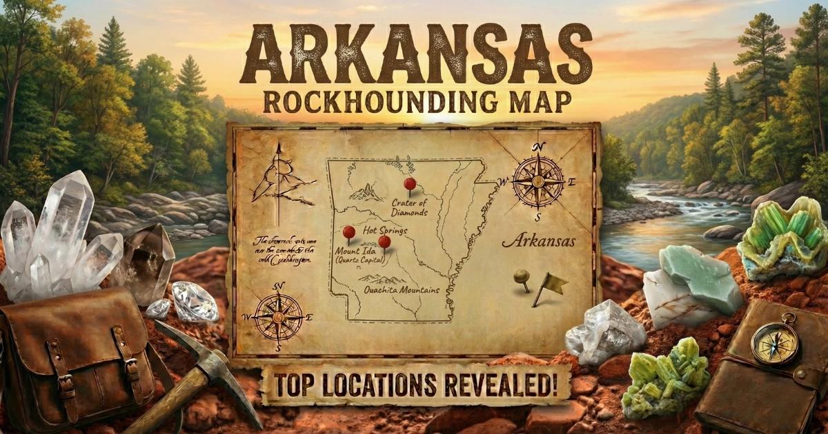
Browse our Arkansas rockhounding map for GPS coordinates and access details on all collecting locations.