
How Arizona's Desert Geology Produces Geodes
Arizona's Basin and Range Province is built from a stacked sequence of Tertiary-age volcanic rocks — rhyolite flows, welded tuffs, andesite, and basalt — that were erupted, faulted, eroded, and re-buried over the past 30 million years. When rhyolite lava cooled, trapped gas formed bubbles (vesicles) ranging from marble-sized to basketball-sized. Over millions of years, silica-rich groundwater percolated through the porous volcanic rock, lining these cavities with chalcedony, agate, and quartz crystals. The result is geodes — round to oblong nodules with a rough volcanic exterior and a crystalline interior.
The primary geode-producing counties are in the southwestern desert: La Paz, Yuma, Maricopa, and Pinal. Nearly all of this land is managed by the Bureau of Land Management (BLM) and is open for recreational collecting. The terrain is harsh — Sonoran Desert scrub, saguaro cactus, creosote flats, and rocky volcanic hills — but the collecting is excellent if you come prepared for the conditions.
Arizona geodes are volcanic in origin, which distinguishes them from the sedimentary geodes of the Midwest. The outer shell is gray to brown weathered volcanic rock, often with a knobby or cauliflower-like texture. The interiors are typically lined with chalcedony and druzy quartz (clear to white). Some contain agate banding in shades of blue, gray, or amber. Amethyst is rare but has been reported from a few sites.
Top Collecting Locations
1. Saddle Mountain — Maricopa/Pinal County Line
GPS: 33.30°N, 112.85°W (general collecting area)
Land status: BLM (public)
Vehicle: High-clearance recommended; 4WD helpful in sandy washes
Nearest town: Tonopah (approximately 15 miles east on I-10)
Saddle Mountain is the most popular geode site within day-trip range of Phoenix — about 60 miles west of the city on I-10. The geodes occur in rhyolite and volcanic tuff across the low hills and bajadas around the mountain. Most specimens are 2 to 5 inches in diameter with quartz druzy interiors. Solid agate nodules (no crystal cavity) also occur and can be just as attractive when cut and polished.
The area near the dirt road access points has been heavily collected over the decades. Plan to hike at least half a mile from parking to reach productive ground. The farther you walk from the road, the better your chances of finding uncollected material. Bring plenty of water — there is no shade, no water source, and summer temperatures here routinely exceed 115 degrees F.
2. Kofa Mountains — Yuma/La Paz County
GPS: 33.35°N, 114.10°W (general Kofa area)
Land status: Kofa National Wildlife Refuge — special collecting regulations apply
Vehicle: High-clearance 4WD required for most access roads
Nearest town: Quartzsite (approximately 30 miles west)
The Kofa Mountains are constructed from Miocene rhyolite flows and tuffs, and they produce thundereggs and geodes throughout the volcanic terrain. The name "Kofa" comes from King of Arizona Mine, a historic gold operation. The mountains rise abruptly from the desert floor, and the volcanic layers are well exposed in the canyons and washes.
This area falls within the Kofa National Wildlife Refuge, which means collecting rules differ from standard BLM land. The refuge was established to protect desert bighorn sheep habitat, and certain areas may be closed seasonally. Contact the refuge office in Yuma (928-783-7861) for current regulations before collecting. Some casual surface collecting has historically been allowed, but the rules can change. Do not assume BLM casual collecting rules apply here — they do not.
3. Round Mountain / Plomosa Mountains — La Paz County (Near Quartzsite)
GPS: 33.68°N, 114.18°W (Round Mountain area)
Land status: BLM (public)
Vehicle: High-clearance recommended
Nearest town: Quartzsite
The desert hills east and south of Quartzsite produce small to medium geodes with quartz and chalcedony interiors. Round Mountain and the Plomosa Mountains are the best-known sites in this area. The geodes weather out of rhyolite and tuff formations and accumulate on the surface and in washes. Most are 1 to 4 inches — smaller than Saddle Mountain specimens but often with better crystal development.
Quartzsite is famous for its winter gem and mineral shows (January through February), when the population swells from about 3,700 to over 750,000. The collecting season in this area runs from November through March — the rest of the year is dangerously hot. If you visit during the gem shows, vendors sell locally collected geodes by the bucket if you do not want to dig your own.
4. Black Hills — Safford Area (Graham County)
GPS: 32.85°N, 109.65°W (general area)
Land status: BLM (public)
Vehicle: High-clearance; 4WD for some roads
Nearest town: Safford
The volcanic terrain around Safford in Graham County produces geodes and agate nodules from Tertiary rhyolite and andesite formations. The Black Hills area north of Safford has been a collecting destination for local rockhounds for decades. The geodes here tend to have darker chalcedony shells and occasionally contain botryoidal (grape-like) chalcedony rather than druzy quartz. BLM land in this area is open for casual collecting.
5. Burro Creek — Mohave/Yavapai County Line
GPS: 34.53°N, 113.45°W (Burro Creek campground area)
Land status: BLM (public) — Burro Creek Recreation Area
Vehicle: 2WD to the campground; high-clearance for surrounding areas
Burro Creek, accessible from a BLM campground along US-93, cuts through volcanic formations that produce agate, jasper, and occasional small geodes. The creek gravel below the campground is the primary collecting area. This is a good site for combining a camping trip with casual collecting — the BLM campground has developed sites with water (seasonal) and pit toilets. The creek itself is pleasant for wading in mild weather.
Specimens You Can Find
| Mineral | Occurrence | Best Sites | Notes |
|---|---|---|---|
| Quartz druzy (clear/white) | Very common | All sites | Standard interior lining of Arizona geodes |
| Chalcedony | Very common | All sites | Blue-gray to white; forms the shell and inner banding |
| Agate (banded) | Common | Saddle Mtn, Quartzsite | Concentric banding in gray, blue, amber |
| Botryoidal chalcedony | Uncommon | Safford area | Grape-like rounded surfaces |
| Amethyst | Rare | Various | Pale purple quartz; uncommon but reported |
| Fire agate | Uncommon | Safford, Quartzsite | Iridescent botryoidal chalcedony; not in geodes but nearby |
| Jasper | Common | Burro Creek | Red, yellow, brown; solid nodules rather than hollow |
Recommended Tools and Gear
- Rock hammer (2-3 lb): For cracking geodes and extracting specimens from volcanic matrix.
- Chisels: Cold chisels for working geodes out of tuff outcrops without shattering the crystals inside.
- 5-gallon bucket: Standard hauling container. Line with newspaper.
- Water — minimum 1 gallon per person per day: The desert will kill you faster than any rattlesnake. Carry more water than you think you need.
- Sun protection: Wide-brim hat, SPF 50+ sunscreen, long sleeves. Shade is nearly nonexistent at most sites.
- Sturdy boots: Ankle-height minimum. Cactus spines go through sneakers. Watch where you step.
- Offline GPS maps: Many BLM roads are unsigned and unmarked. Download Gaia GPS or OnX maps before leaving cell coverage.
- Snakebite awareness: Western diamondback rattlesnakes are active March through October. Watch where you put your hands and feet. Know the location of the nearest hospital.
- Spare tire and tools: Sharp volcanic rock shreds tires. Carry a full-size spare and a jack that works on your vehicle.
Legal and Access Information
BLM land: Casual collecting of rocks, minerals, and gemstones is permitted on BLM land under 43 CFR 8365. The limit is 25 pounds per day plus one piece, not to exceed 250 pounds per year. This covers Saddle Mountain, Round Mountain, Black Hills, and Burro Creek. No commercial collecting without a permit.
Kofa National Wildlife Refuge: This is NOT standard BLM land. The refuge operates under U.S. Fish and Wildlife Service regulations. Collecting rules are different and more restrictive. Some areas are closed seasonally for wildlife protection. Always check with the refuge office before collecting.
Arizona State Trust Land: Some desert land in Arizona is State Trust Land, which requires a recreational permit ($15/year individual) for any surface activity including rockhounding. State Trust Land is marked with small signs, but they are easy to miss. Check the Arizona State Land Department website or use OnX maps to verify land status.
National Parks and Monuments: Collecting is strictly prohibited in all National Park Service units — Grand Canyon, Saguaro, Organ Pipe Cactus, Petrified Forest, and all others. Removing any natural object from a national park is a federal offense.
Best Time to Go
October through April is the collecting season for all Arizona desert sites. Daytime temperatures during this window typically range from 60 to 85 degrees F — comfortable for hiking and digging. Summer temperatures in the Sonoran Desert regularly exceed 110 degrees F and have killed experienced hikers.
January and February are ideal if you want to combine collecting with the Quartzsite gem and mineral shows. The crowds can be overwhelming in Quartzsite proper, but the surrounding BLM collecting sites are usually uncrowded even during show season.
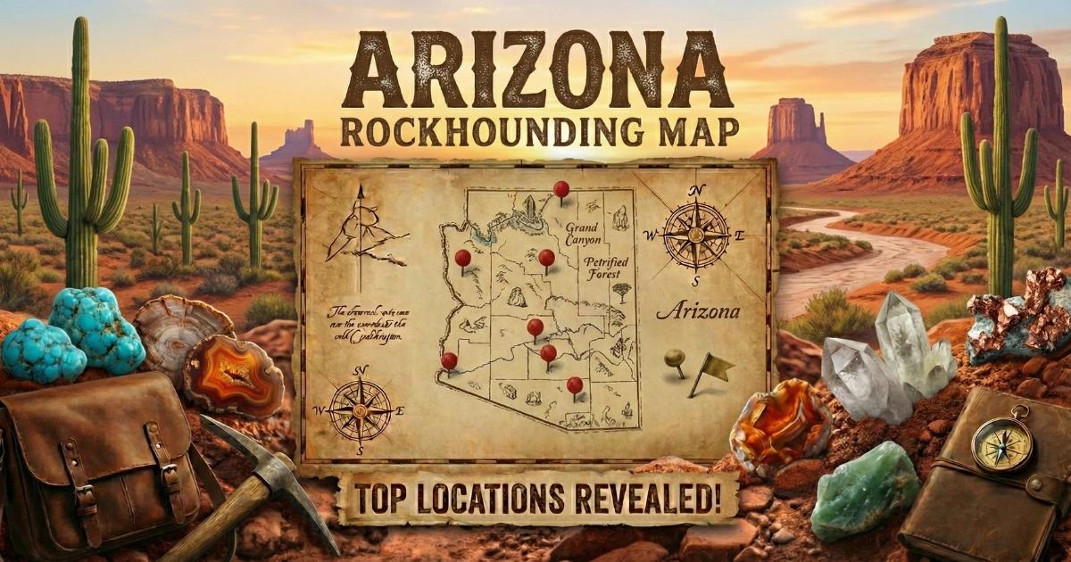
Find all sites on our Arizona rockhounding map.