
Alabama's Geode Belt: The Fort Payne Formation
When most collectors think of southeastern geode hunting, they picture Kentucky or Tennessee. Alabama rarely makes the short list — and that works in your favor. Northeastern Alabama sits on the southern extension of the same Mississippian-age Fort Payne Formation that runs from central Kentucky through Tennessee and into the northwest corner of Georgia. The geology does not stop at state lines, and neither do the geodes.
Cherokee, DeKalb, Marshall, and Blount counties make up Alabama's primary geode zone. The rest of the state is dominated by Coastal Plain sediments to the south, Piedmont metamorphic rocks in the east, and younger limestones in the central valleys that do not typically produce geodes. If you want geodes in Alabama, you are heading to the northeastern counties and working the creek gravel.
Geological Framework
The Fort Payne Formation is a Mississippian-age (roughly 360 to 340 million years old) cherty limestone deposited in a shallow marine environment. The silica-rich waters that bathed this ancient sea floor created conditions for geode formation. The leading geological theory holds that the geodes began as anhydrite (calcium sulfate) nodules within the limestone. Over time, groundwater dissolved the anhydrite and replaced it with silica — chalcedony on the outer shell and quartz crystals growing inward from the walls.
The Fort Payne Formation in Alabama crops out along the southern edge of the Cumberland Plateau, where it dips beneath younger Pennsylvanian sandstones and shales. Creeks cutting through the formation erode the limestone matrix and release the harder geodes into the stream gravel. This is why creek collecting is the primary method — the geodes concentrate naturally in gravel bars as the softer limestone is carried away by the current.
Alabama also has some geode-producing potential in the Bankhead National Forest, where Mississippian-age limestones (including the Fort Payne and correlative units) are exposed along creek drainages in the western part of the state.
Top Collecting Locations
1. Cherokee County — Weiss Lake Tributaries
GPS (general area): 34.12°N, 85.60°W (Centre area)
Land status: Public waterways; surrounding land is mostly private (ask permission for bank access)
Vehicle: 2WD
Cherokee County in the far northeastern corner of Alabama is prime Fort Payne Formation territory. The creeks feeding Weiss Lake and the Little River drainage cut through the cherty limestone and deposit geodes in their gravel bars. Specimens range from 1 to 4 inches in diameter, occasionally larger. Most contain quartz druzy — clear to milky white crystal clusters lining the interior. Some hold calcite rhombs or dog-tooth spar.
Work the gravel bars during low water in late summer and early fall. Look for round, rough-surfaced stones that stand out from the flat limestone slabs and chert fragments. Geodes are noticeably heavier than similar-sized pieces of pure chert because of the crystal fill, but lighter than solid limestone cobbles. Collect from the waterway itself — Alabama law generally allows access to navigable waters up to the normal high-water mark, but the banks above that line are private property.
2. DeKalb County — Fort Payne Type Locality
GPS (general area): 34.44°N, 85.72°W (Fort Payne city area)
Land status: Public waterways; private land surrounds most creek access
Vehicle: 2WD
The town of Fort Payne sits directly on the type locality of the Fort Payne Formation — the formation is literally named for this place. The creeks and branches draining the plateau around Fort Payne cut through the formation and release geodes into the gravel. This is some of the most productive collecting ground in Alabama because the exposure is thick and continuous.
Look for creek access points along county roads south and west of town. The tributaries of Wills Creek and Town Creek are worth checking. Some landowners in the area have historically allowed collecting if you ask politely and close gates behind you. Do not cross fences without permission.
Little River Canyon National Preserve: Little River Canyon is nearby and geologically related, but the National Preserve has collecting restrictions. Stick to areas outside the preserve boundaries on public waterways or private land with permission.
3. Blount County — Inland Creeks
GPS (general area): 33.98°N, 86.58°W (Oneonta area)
Land status: Public waterways; private land
Vehicle: 2WD
Blount County sits on the southern edge of the Fort Payne Formation outcrop belt in Alabama. The Locust Fork of the Black Warrior River and its tributaries cut through Mississippian limestone and expose geode-bearing beds. The geodes here tend to be smaller than those in Cherokee and DeKalb counties — 1 to 3 inches — but they are present. The area gets less collecting pressure than the counties closer to the Tennessee border, so surface material persists longer in the gravel bars.
4. Bankhead National Forest — Lawrence and Winston Counties
GPS (general area): 34.25°N, 87.35°W
Land status: National Forest (personal collecting permitted)
Vehicle: 2WD for paved forest roads; AWD for unpaved forest roads
The William B. Bankhead National Forest in northwestern Alabama covers over 180,000 acres of rugged terrain along the Black Warrior River drainage. Mississippian-age limestones, including the Fort Payne Formation and correlative units, are exposed along the Sipsey Fork and its tributaries. Small geodes — 1 to 3 inches — occasionally appear in the creek gravel. The Sipsey Wilderness Area within the forest prohibits motorized access but does allow foot-traffic collecting for personal use.
Collecting for personal use is permitted on National Forest land under standard regulations. No commercial collecting without a permit. The forest is heavily wooded and the terrain is steep in the canyon drainages — wear sturdy boots and bring a GPS.
5. Marshall County — Guntersville Lake Area
GPS (general area): 34.35°N, 86.30°W
Land status: TVA land (check regulations), public waterways, private
Vehicle: 2WD
Marshall County sits on the Fort Payne Formation where it approaches the Tennessee River (Lake Guntersville). Creek drainages flowing into the lake cut through the formation. TVA (Tennessee Valley Authority) manages some of the shoreline land around Guntersville Lake — check with TVA for their specific collecting policies on TVA-managed property. County road creek crossings provide the best public access to gravel bars on the tributaries.
What You Will Find: Alabama Specimens
| Specimen Type | Typical Size | Common Interior | Rare Interior |
|---|---|---|---|
| Quartz geode | 1–4 inches | Clear to milky quartz druzy | Smoky quartz, chalcopyrite |
| Calcite geode | 1–4 inches | Dog-tooth spar, rhombic calcite | Dolomite, pyrite |
| Chalcedony geode | 1–3 inches | Banded chalcedony, partial fill | Druzy center with agate shell |
| Chert nodule (solid) | 1–6 inches | Solid gray to black chert | N/A |
| Geode with mixed fill | 2–5 inches | Quartz and calcite together | Sphalerite, barite |
How to Identify Geodes in the Field
Fort Payne Formation geodes in Alabama creek gravel have a distinctive look once you train your eye. They are roughly spherical to slightly oblong, with a bumpy, cauliflower-textured exterior shell of chalcedony or weathered limestone. The surface color is typically gray-brown to tan, sometimes with a rusty stain from iron in the creek water.
The weight test is your first field check. Pick up a suspect stone and compare it to a similar-sized limestone cobble. If the round stone feels lighter, it is probably hollow — a geode. If it feels about the same weight, it may be a solid chert nodule or a fully crystal-filled geode (still worth keeping). If it feels heavier, it is likely solid limestone and not what you want.
The tap test works well in the creek. Knock two suspect stones together gently. A hollow geode produces a distinctive ring or thunk that sounds different from two solid rocks colliding. With practice, you can sort geodes from chert nodules by sound alone.
If you carry a rock hammer, you can crack small specimens in the field. Place the geode on a flat rock and strike it with moderate force on its equator. It should split into two halves revealing the crystal interior. Wrap good specimens in newspaper immediately to protect the crystals.
Recommended Tools and Gear
- 5-gallon bucket: The standard geode-collecting container. Carry two — one for keepers, one for unknowns to crack later.
- Rock hammer: For cracking small geodes in the field and testing specimens
- Old towel or newspaper: For wrapping specimens with delicate crystal interiors
- Wading shoes or rubber boots: Creek collecting means wet feet. Wear something with grip on slippery rocks.
- Sunscreen and bug spray: Alabama summers are hot and humid, and the mosquitoes are persistent near creek water.
- Spray bottle: Wetting the exterior of a suspect stone makes the chalcedony shell more visible
- Hand lens (10x): For examining crystal habit inside cracked geodes
Legal Rules and Access
- Public waterways: Alabama law allows public access to navigable waterways. You can collect from exposed gravel bars within the normal high-water mark. The banks above that line are private property — do not climb up without permission.
- Private land: Most creek access points in northeastern Alabama cross private farmland. Ask before entering. Bring a small gift for the landowner — a basket of produce or a six-pack goes a long way in rural Alabama.
- National Forest: Bankhead National Forest allows personal mineral collecting. No commercial collecting without a special use permit.
- Little River Canyon National Preserve: Collecting restrictions apply within the preserve. Check with the NPS before collecting.
- TVA land: Tennessee Valley Authority manages land around several reservoirs. Policies on mineral collecting vary — contact the local TVA office.
- Best season: Late summer through early fall (August through October) when creek levels are at their lowest and gravel bars are maximally exposed. Avoid spring — Alabama creeks flood fast and hard after winter rains.
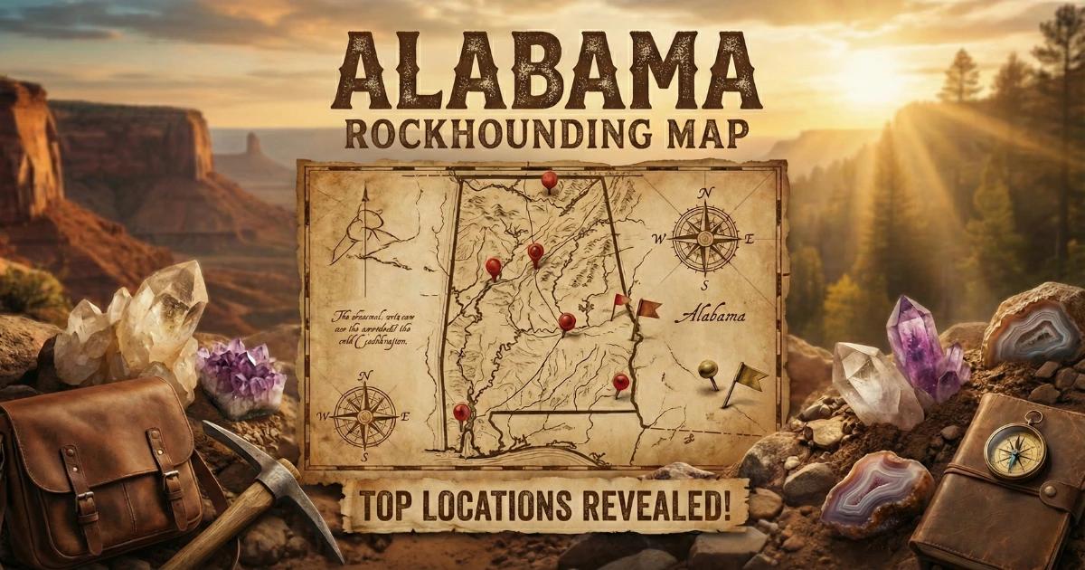
See our Alabama rockhounding map for GPS coordinates and additional collecting locations.