
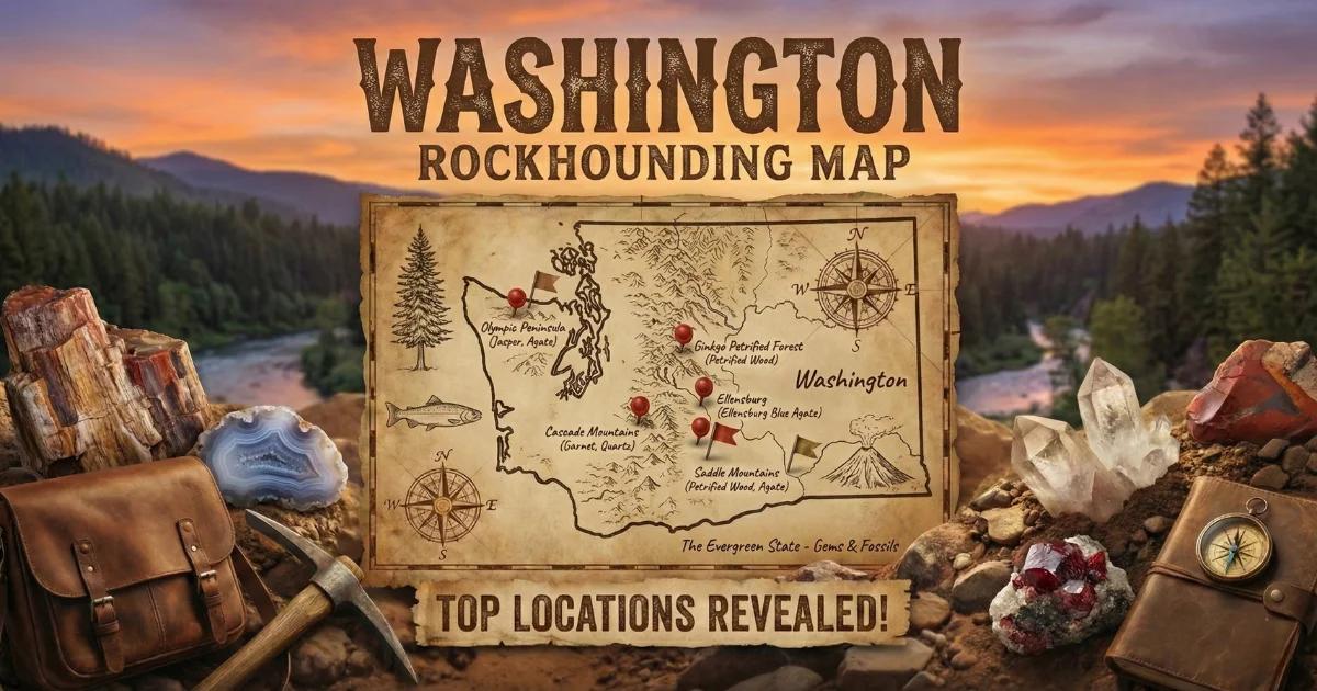

Geology of Washington's Gem-Bearing Terrain
Washington sits at the collision zone between the Juan de Fuca oceanic plate and the North American continental plate. That subduction engine drives everything you find in the ground here. The Cascade Range runs north-south through the state, built from repeated volcanic episodes spanning roughly 40 million years. East of the Cascades, the Columbia Plateau is floored by layer upon layer of Miocene flood basalts — the Columbia River Basalt Group — some of the largest lava flows in Earth's history. West of the Cascades, accreted terranes of oceanic crust, island arc volcanics, and marine sediments were scraped off the subducting plate and plastered against the continent over the past 200 million years.
This collision history matters to collectors because it created specific geochemical environments where gem-quality minerals formed. Silica-rich fluids migrating through vesicular basalts produced the agates and thundereggs of the eastern slopes. Serpentinization of ultramafic oceanic mantle rocks in the North Cascades generated nephrite jade deposits. Eocene volcanic activity in the northeast corner buried forests in ash, creating petrified wood and preserving delicate plant fossils. Gold concentrated in Mesozoic-age metamorphic belts and then redistributed into placer deposits along Cascade drainages during Pleistocene glaciation.
The Pleistocene ice sheets themselves reshaped collecting opportunities. Continental glaciers scoured bedrock in the north, dumping mineralized gravels across lowland river valleys. The catastrophic Missoula Floods carved the Channeled Scablands in eastern Washington, exposing fresh basalt surfaces and redistributing agate-bearing gravels across wide swaths of the Columbia Basin. Understanding these processes tells you where to look and what to expect when you get there.
Prime Collecting Locations
1. Ellensburg Blue Agate — Kittitas County
GPS: 46.9965 N, -120.5478 W (general Reecer Creek area)
Land Status: Primarily private ranch land; some adjacent BLM parcels
Target Minerals: Ellensburg Blue agate (blue chalcedony), common agate, jasper
Ellensburg Blue is a rare cornflower-blue chalcedony found only in the Kittitas Valley. The blue coloration comes from light scattering caused by microscopic inclusions of ilmenite needles within the chalcedony matrix — the same Tyndall scattering effect that makes the sky appear blue. Original source material weathered out of Miocene basalt flows and concentrated in alluvial gravels along Reecer Creek, Green Canyon, and surrounding drainages.
Surface collecting has been picked over for decades. The best remaining material sits on private ranch land, and landowner permission is required. Some adjacent BLM ground still produces occasional specimens, but you should not expect to walk away with gem-grade blues on your first trip. The Kittitas County Gem and Mineral Society hosts field trips, and the annual Ellensburg Agate Show is the best place to see and purchase quality specimens. When hunting, look for translucent nodules with a faint blue cast — genuine Ellensburg Blue is unmistakable once you've held one.
2. Walker Valley — Skagit County
GPS: 48.4700 N, -122.1870 W
Land Status: Washington DNR trust land (open to recreational collecting)
Target Minerals: Geodes, thundereggs, common opal, agate, jasper
Walker Valley is one of the most productive public collecting sites in the Pacific Northwest. The material comes from Eocene-age volcanic tuffs and rhyolitic flows — the same general volcanic episode that created thunderegg deposits across Oregon and northern California. Geodes here range from golf-ball to softball size, with interiors containing quartz druzy, chalcedony, common opal, and occasionally agate banding.
The main digging area is on DNR land accessible via Walker Valley Road. Bring a sturdy rock pick and a willingness to dig — the best geodes are embedded in clay-rich volcanic ash several inches to a few feet below the surface. Weathered-out specimens litter the road cuts and exposed banks, but digging produces cleaner, less fractured material. This site gets steady traffic from collectors, so working fresh exposures or digging deeper than the casual visitor will improve your results. Wet weather makes the clay slippery and difficult to work, so plan for dry spells between June and October.
3. Darrington Jade Area — Snohomish County
GPS: 48.2550 N, -121.6010 W (Stillaguamish River corridor)
Land Status: Mix of National Forest (Mt. Baker-Snoqualmie NF) and private timber land
Target Minerals: Nephrite jade, serpentine, chromite, magnetite
The North Cascades contain several ultramafic bodies — chunks of oceanic mantle rock that were thrust onto the continent during terrane accretion. When these peridotite and dunite bodies undergo serpentinization (chemical alteration by hot water), nephrite jade can form at the contact zones. The Darrington area, along the Stillaguamish River and its tributaries, has produced nephrite ranging from dark spinach green to lighter apple green.
River cobble hunting is the most accessible approach. Walk gravel bars on the Stillaguamish and look for dense, dark green stones with a waxy luster. Nephrite is noticeably heavy for its size and will not scratch with a steel blade. In-situ outcrops on National Forest land are harder to locate but do exist on the slopes above the river corridor. Always verify current Forest Service regulations before collecting — some areas carry wilderness or research natural area designations that prohibit removal of any material.
4. Peshastin Creek Gold — Chelan County
GPS: 47.5220 N, -120.6400 W (confluence area near Blewett Pass)
Land Status: Okanogan-Wenatchee National Forest; some BLM parcels
Target Minerals: Placer gold, garnet, magnetite, black sand concentrates
The Peshastin Creek drainage sits within the Swauk Mining District, one of Washington's historically productive gold areas. Lode gold occurs in Mesozoic metamorphic rocks and quartz veins, and Pleistocene glacial and fluvial action concentrated fine placer gold in creek gravels. Peshastin Creek itself, along with nearby Swauk Creek and Negro Creek, offer recreational gold panning opportunities on National Forest land.
Work the inside bends of the creek where current velocity drops and heavy minerals settle. Gold here is fine — flour to small flake size — so use a classifier and take your time with each pan. Bedrock cracks and crevices behind large boulders are the most productive traps. A suction bottle (snuffer) is essential for recovering fine gold from your pan. The Blewett Pass area is accessible from Highway 97, with several pullouts and forest roads providing creek access. Summer and early fall, after spring runoff subsides, offer the best conditions.
5. Olympic Peninsula Beach Agates — Jefferson/Clallam Counties
GPS: 47.9130 N, -124.6370 W (Ruby Beach / Beach 4 area)
Land Status: Olympic National Park (no collecting in park); adjacent public beaches vary
Target Minerals: Beach agate, jasper, petrified wood, fossilized shells
The Olympic Peninsula coastline exposes Tertiary marine sediments and volcanic rocks, and winter storm waves churn up agate, jasper, and petrified wood from offshore gravels. The catch: the best-known beaches — Ruby Beach, Rialto Beach, Beach 4 — fall within Olympic National Park, where collecting is prohibited. However, beaches outside the park boundary, including stretches near Kalaloch and areas south toward Westport, allow personal-use collecting.
Check land status before you fill your pockets. On legal beaches, work the high-tide wrack line after storms. Agates appear as translucent stones that glow when backlit — carry a small flashlight even in daylight and hold stones up to the light. Wet them with saliva or water for a quick translucency check. The best collecting follows winter storms that move fresh gravel onto the beach. Spring and fall trips combine decent weather with active surf conditions.
6. Stonerose Interpretive Center — Republic, Ferry County
GPS: 48.6480 N, -118.7370 W
Land Status: Public fossil dig site (fee site, managed by Stonerose)
Target Minerals: Eocene plant and insect fossils (approximately 49 million years old)
Republic's Stonerose site preserves a remarkable Eocene lake-bed deposit — the Tom Thumb Tuff Member of the Klondike Mountain Formation. Fine volcanic ash settled into an ancient lake, entombing leaves, flowers, seeds, and insects with extraordinary detail. The site operates as a public dig where visitors pay a modest fee, receive basic instruction, and split shale layers to expose fossils.
You are allowed to keep up to three non-research-significant specimens per visit. Split the fine-grained shale along bedding planes using a thin chisel or putty knife. Work slowly — the fossils are delicate and can fracture across the specimen if you rush. Common finds include Metasequoia (dawn redwood), Betula (birch), Ulmus (elm), maple samaras, and occasionally insect compressions. This is one of the few places in Washington where you can legally collect scientifically significant material in a structured, educational setting.
Washington Minerals at a Glance
| Mineral | Color | Hardness (Mohs) | Where Found | Notes |
|---|---|---|---|---|
| Ellensburg Blue Agate | Cornflower blue | 6.5-7 | Kittitas County drainages | Extremely limited; mostly private land |
| Nephrite Jade | Dark to apple green | 6-6.5 | Darrington, Green River, Skagit drainages | Dense, waxy luster; river cobbles |
| Thundereggs/Geodes | Variable interiors | 6.5-7 (quartz) | Walker Valley, Skagit County | Eocene volcanic host rock |
| Placer Gold | Yellow metallic | 2.5 | Peshastin, Swauk, Liberty creeks | Fine flour to small flake |
| Petrified Wood | Brown, tan, red, black | 6.5-7 | Saddle Mountains, Vantage area, coast | State gem; do not collect in state parks |
| Red Top Agate | Red, orange, clear | 6.5-7 | Red Top Mountain, Kittitas County | Popular Forest Service collecting area |
| Beach Agate | Clear, white, banded | 6.5-7 | Olympic coast, Westport | Best after winter storms |
| Plant Fossils | Gray/brown compressions | N/A | Republic (Stonerose) | Eocene age; fee dig site |
Field Identification Tips
Knowing what you are looking at in the field saves you from hauling home a pack full of ordinary river rock. Here are practical tests you can perform on-site with no special equipment.
Agate vs. ordinary quartz: Agates are translucent. Hold the stone up to sunlight or a flashlight beam. If light passes through the edges, even faintly, you likely have agate or chalcedony. Ordinary vein quartz is usually opaque white and lacks the waxy luster of good agate.
Nephrite jade vs. serpentine: Both are green, both are found in the same geologic setting, and they are commonly confused. Nephrite is noticeably tougher — you cannot scratch it with a steel knife blade (hardness 6-6.5). Serpentine scratches readily (hardness 2.5-4). Nephrite also feels denser in your hand because its specific gravity (2.9-3.1) exceeds serpentine (2.5-2.6). A hefty green cobble that resists your knife is worth a closer look.
Gold vs. pyrite vs. mica: Gold is malleable — press it with a pin and it deforms without breaking. Pyrite fractures and shatters. Mica flakes are flat, flexible, and nearly weightless. Gold stays in the bottom of your pan; mica floats away with the slightest water movement.
Petrified wood vs. chert: Both are hard, siliceous, and can look similar in river gravel. Petrified wood retains original wood grain structure — look for growth rings, bark texture, or cell patterns on broken surfaces. Chert breaks with a smooth, conchoidal fracture and lacks any organic texture.
Thundereggs vs. ordinary round rocks: Thundereggs are spherical to oblate nodules that formed in volcanic ash. The exterior is rough, gray-brown, and unremarkable. The only reliable field test is to break one open — or check the weight. Thundereggs with solid agate or opal interiors feel heavier than hollow geodes or simple mudstone concretions of the same size.
Recommended Tools and Gear
Rock hammer (22 oz. geological pick): Your primary tool. A flat face on one end for breaking and a pick on the other for prying. Estwing and Vaughan both make reliable options.
Cold chisels (1/2" and 3/4"): Essential for splitting shale at fossil sites and working material out of host rock. Pair with a hand sledge (2-3 lb).
Gold pan (14" green or black plastic): Lightweight, cheap, and effective. Green pans show gold contrast well. Bring a classifier screen (1/4" mesh) to remove larger gravel before panning.
Snuffer bottle: A small suction bottle for picking fine gold out of your pan concentrate. Indispensable for Washington's fine flour gold.
Hand lens (10x): Check crystal structure, identify fine fossils, and examine mineral inclusions. A Hastings triplet lens gives the clearest image.
Spray bottle with water: Wetting a stone immediately reveals color, translucency, and banding that you cannot see on a dry surface. Carry one in your vest pocket.
Sturdy digging tools: Walker Valley and similar clay-rich sites demand a short-handled mattock or heavy garden trowel. Standard rock picks struggle in sticky volcanic clay.
Rain gear and gaiters: Western Washington is wet from October through June. Waterproof boots and a rain jacket are not optional — they are baseline equipment.
GPS device or phone app: Mark your finds. When you locate a productive spot, a waypoint saves you hours of searching on return trips.
Legal Framework for Collecting in Washington
Washington's collecting rules vary by land manager, and getting them wrong can result in fines or confiscation of material. Know before you go.
BLM Land: The Bureau of Land Management generally allows casual collecting of rocks, minerals, gemstones, and reasonable quantities of petrified wood (up to 25 pounds per day, 250 pounds per year) for personal use. No permit required for hand tools. Mechanized equipment and commercial collecting require permits.
National Forest: The Forest Service allows casual mineral collecting for personal use on most National Forest land in Washington. Some areas carry specific restrictions — wilderness areas, research natural areas, and special management zones may prohibit any collecting. Check with the local ranger district before your trip. Gold panning in streams is generally allowed, but suction dredging regulations change frequently — verify current rules with the Okanogan-Wenatchee or Mt. Baker-Snoqualmie National Forest offices.
Washington DNR Trust Land: The Department of Natural Resources allows recreational rock and mineral collecting on state trust lands. No permit is required for personal-use quantities with hand tools. Walker Valley operates under this framework. DNR does not allow motorized digging equipment without written authorization.
State Parks: Collecting is prohibited in all Washington State Parks. This includes Ginkgo Petrified Forest State Park near Vantage — you can look at the petrified wood, walk the interpretive trails, and visit the museum, but you cannot take material. The Ginkgo site contains over 200 identified species of petrified trees and is too scientifically valuable to allow public collecting.
National Parks and Monuments: No collecting of any kind is permitted in Olympic National Park, Mount Rainier National Park, or North Cascades National Park. This applies to rocks, minerals, fossils, and biological specimens. Penalties are significant.
Private Land: Much of Washington's best material — especially Ellensburg Blue agate — sits on private ranch and timber land. Always obtain written permission before entering private property. Trespassing is a misdemeanor in Washington, and landowners in rural areas take it seriously.
Tribal Land: Washington contains multiple tribal reservations. Collecting on tribal land requires permission from the relevant tribal authority. Do not assume that adjacent public-land rules apply to reservation land.
Interactive Washington Rockhounding Map
Explore collecting sites, land boundaries, and access points on our interactive map.
View the full Washington rockhounding map here.
The map includes GPS coordinates, land status overlays, and site descriptions for locations across the state. Use it to plan trips and verify land ownership before heading into the field.