
Louisiana Geology: A Coastal Plain State
Louisiana has no exposed bedrock in the traditional sense. The entire state sits on Gulf Coastal Plain sediments — thick sequences of Tertiary and Quaternary sand, clay, gravel, and alluvium deposited by the Mississippi River and its ancestors. There are no mountain ranges, no metamorphic belts, no pegmatite districts. Any collector expecting exposed granite, schist, or vein quartz will find nothing of the sort here.
What Louisiana does have is a specific set of collectable materials tied to its sedimentary geology: petrified palmwood from the Oligocene Catahoula Formation, agates and cherts transported as gravel by the Mississippi and Red Rivers, iron and sandstone concretions in the piney uplands of Kisatchie National Forest, and cap rock minerals associated with the state's numerous salt domes. The collecting is unconventional compared to hard-rock states, but the materials are real, and several of them cut and polish well.
Honesty is warranted: Louisiana is not a destination gem state. You will not fill buckets with crystals. But if you understand the geology and know where to look, you can find legitimate specimens — and petrified palmwood, in particular, is a genuinely distinctive lapidary material found nowhere else in comparable quality.
Collecting Location 1: Catahoula Formation Exposures — LaSalle and Catahoula Parishes
Land status: Mixed — road cuts are public right-of-way; creek banks are often private. Ask landowners.
Approximate area: 31.6°N, 91.8°W (central Louisiana, along Highway 84 corridor between Jena and Vidalia)
Vehicle: 2WD for highway road cuts. High-clearance recommended for unpaved parish roads in wet weather.
Target specimens: Petrified palmwood, silicified wood (non-palm species), agatized wood fragments
The Catahoula Formation (Oligocene, roughly 28–33 million years old) is the source rock for Louisiana's petrified palmwood. This unit outcrops across a belt running through central Louisiana from Sabine Parish eastward to Catahoula and Concordia Parishes. The formation consists of tuffaceous sandstones, claystones, and volcanic-ash-derived sediments. Silica-rich groundwater from the volcanic ash provided the medium for petrification.
Petrified palmwood is Louisiana's official state fossil. In cross-section, it displays a distinctive dot-and-dash pattern — the "dots" are vascular bundles (rod-like internal structures of monocot palms) cut perpendicular to their long axis. In longitudinal section, the same structures appear as parallel lines or streaks. When polished, good-quality palmwood shows sharp contrast between the dark vascular bundles and the lighter silicified matrix. Colors range from tan and brown to reddish-brown, gray, and occasionally black.
Look in road cuts along Highway 84 between Jena and Vidalia, in eroded creek banks, and in gravel exposed by recent construction or land clearing. Pieces range from small fragments to logs. The best material is fully silicified (it will scratch glass, Mohs 7) rather than partially mineralized. Partially replaced pieces are often soft and crumbly — test hardness in the field with a steel nail or knife blade before collecting.
Collecting Location 2: Mississippi River Gravel Bars — West Feliciana and East Carroll Parishes
Land status: Gravel bars below the ordinary high-water mark on navigable rivers are generally public in Louisiana under state law. Bars accessible only through private land require permission to cross.
Approximate area: 30.8°N–32.5°N along the Mississippi River (multiple gravel bars)
Vehicle: 2WD to access points. Some bars require walking 0.25–1 mile from the nearest road.
Target specimens: Agates, chert nodules, jasper, petrified wood (reworked), Lake Superior agates (rare), quartzite pebbles
The Mississippi River has transported gravel from its entire 2,300-mile drainage basin. Gravel bars in Louisiana contain material sourced from Minnesota, Wisconsin, Iowa, Missouri, Illinois, and every state the river and its tributaries drain. This means you can find Lake Superior agates, Upper Mississippi cherts, Missouri flint, and assorted jaspers mixed into Louisiana river gravel — thousands of miles from their parent rock.
The agates are typically small (thumbnail to golf-ball size), water-worn, and often coated in a dull rind that obscures banding. Look for translucency: wet the stone and hold it to sunlight. Agates transmit light at the edges. Chert and jasper are opaque. Sorting through river gravel is slow, methodical work. A spray bottle helps evaluate stones without hauling water. Low-water periods (late summer and fall) expose the most gravel.
Access can be tricky. Some bars are reachable from public boat launches or levee access roads maintained by the Army Corps of Engineers. Others require permission to cross private farmland between the levee and the river.
Collecting Location 3: Kisatchie National Forest — Catahoula Ranger District (Grant and Rapides Parishes)
Land status: USDA Forest Service — Kisatchie National Forest. Casual collecting of reasonable quantities of common rocks and minerals is generally permitted. No commercial collecting. No digging in archaeological sites. Check current forest regulations.
Approximate area: 31.4°N, 92.5°W (Catahoula Ranger District, east of Leesville)
Vehicle: High-clearance recommended. Forest roads are unpaved and can be rutted after rain.
Target specimens: Iron concretions, sandstone concretions, ironstone nodules, petrified wood (scattered)
Kisatchie National Forest is Louisiana's only national forest — roughly 604,000 acres spread across seven parishes in the west-central part of the state. The Catahoula Ranger District and the Kisatchie Ranger District sit on Tertiary-age sand and clay formations. Iron-rich groundwater has cemented portions of these sands into hard ironstone concretions and ferruginous sandstone masses. These concretions weather out of the surrounding soft sand and accumulate on hillsides and in drainages.
The concretions take a variety of forms: spherical, botryoidal, tubular, and irregular. Some show interesting internal banding from successive layers of iron oxide deposition. They are not gem material in the traditional sense, but they are legitimate geological specimens and some display genuinely striking forms. Occasional petrified wood pieces also turn up in the forest, eroded from Catahoula Formation remnants.
The Longleaf Vista area and trails near Kisatchie Bayou provide accessible collecting terrain. Bring insect repellent — the forest is thick with mosquitoes and ticks from spring through fall.
Collecting Location 4: Red River Gravel — Natchitoches and Rapides Parishes
Land status: Mixed. Gravel bars on navigable sections of the Red River follow the same public-access principles as the Mississippi. Many adjacent properties are private.
Approximate area: 31.7°N, 93.0°W (Red River between Natchitoches and Alexandria)
Vehicle: 2WD to most access points.
Target specimens: Agates, jasper, petrified wood, novaculite fragments, quartz pebbles
The Red River drains parts of the Texas Panhandle, Oklahoma, and Arkansas before crossing Louisiana. Its gravel load includes material from the Ouachita Mountains — novaculite, Arkansas chert, and small agates — along with Texas-sourced petrified wood and assorted siliceous gravels. The Red River bars tend to produce slightly different material than the Mississippi bars: more reddish jaspers (from the Permian redbeds of Oklahoma and Texas) and occasional novaculite cobbles (from the Ouachita Mountains of Arkansas).
Collecting technique is the same as on the Mississippi: wade exposed bars at low water, wet stones to check for translucency and banding, and sort systematically. Small agates with good color are cuttable cabochon material.
Collecting Location 5: Salt Dome Cap Rock Minerals — Statewide (Limited Access)
Land status: Almost entirely private or industrial. Very limited public access.
Target specimens: Calcite, celestine, sulfur, gypsum, anhydrite, barite
Louisiana sits atop more than 100 known salt domes — subsurface pillars of Jurassic-age halite (rock salt) that have pushed upward through overlying sediments. Where the top of a salt dome dissolves, it leaves behind an insoluble residue called cap rock, composed primarily of anhydrite, gypsum, calcite, and sometimes native sulfur. Some of these cap rock zones have produced excellent mineral specimens: clear calcite crystals, yellow sulfur crystals, blue celestine, and tabular barite.
The problem is access. Most salt domes with exposed or near-surface cap rock are on private industrial land associated with sulfur mining (Frasch process) or salt mining operations. Avery Island, Jefferson Island, and Weeks Island in Iberia Parish are well-known domes, but they are privately owned. The Winnfield salt dome (Winn Parish) has produced specimens historically, but active mining restricts access. Occasionally, specimens from these sites appear at mineral shows and from dealers.
This is mentioned for completeness. Do not trespass on mining property. If you want salt dome minerals from Louisiana, the practical route is purchasing specimens from established dealers or attending mineral shows in the Gulf Coast region.
Louisiana Specimens
| Specimen | Type | Where Found | Mohs Hardness | Notes |
|---|---|---|---|---|
| Petrified palmwood | Silicified fossil wood | Catahoula Formation, central LA | 6.5–7 | State fossil. Distinctive dot-and-dash pattern in cross-section. Excellent cabochon material. |
| Agate | Chalcedony (SiO₂) | Mississippi and Red River gravel bars | 7 | Small, water-worn. Transported from upstream states. Check for banding when wet. |
| Petrified wood (non-palm) | Silicified fossil wood | Catahoula Formation, river gravels | 6.5–7 | Various tree species. Less distinctive pattern than palmwood. |
| Iron concretions | Iron oxide cemented sandstone | Kisatchie National Forest | 5–6 | Spherical, botryoidal, and tubular forms. Display specimens. |
| Calcite | Calcium carbonate (CaCO₃) | Salt dome cap rock (private land) | 3 | Clear to amber crystals. Access severely limited. |
| Native sulfur | Native element (S) | Salt dome cap rock (private land) | 1.5–2.5 | Yellow crystals. Fragile. From Frasch-process mining areas. |
| Chert/jasper | Microcrystalline SiO₂ | River gravels statewide | 7 | Transported from Missouri, Arkansas, Oklahoma source rocks. |
| Coastal fossils | Fossil shell/bone | Eroding coastal bluffs, river banks | Variable | Miocene–Pleistocene shells, shark teeth, mammal bone fragments. |
Field Identification Tips
Petrified palmwood vs. ordinary petrified wood: Break or examine a fresh surface. Palmwood shows a pattern of small circular or oval dots (vascular bundles in cross-section) evenly distributed through the matrix. Ordinary petrified wood shows growth rings, radial rays, or amorphous grain. If you see dots — it is palm. No other wood type produces this pattern.
Agate vs. chert in river gravel: Both are silica, both are hard (Mohs 7), and both fracture conchoidally. The difference is translucency. Wet the stone and hold it against strong light. Agate transmits light — you will see a warm glow at thin edges. Chert stays opaque. Banding is another indicator: if you can see parallel color banding on a broken edge, it is agate. Plain-colored translucent material without banding is chalcedony.
Iron concretions vs. meteorites: Louisiana iron concretions are sometimes mistaken for meteorites. Test with a magnet — most iron concretions are weakly magnetic or non-magnetic (they are iron oxide, not metallic iron). A real meteorite will stick strongly to a magnet and will show metal on a ground surface. Concretions will show sandy, rusty interiors.
Hardness testing in the field: Carry a steel nail (Mohs 5.5) and a piece of glass (Mohs 5.5). Fully silicified petrified wood scratches glass and resists the nail. Partially replaced wood is softer and often crumbly — leave it in the field. Only fully silicified material is worth collecting for lapidary use.
Recommended Tools
- Rock hammer (16 oz, flat/chisel head) — For breaking open concretions and testing petrified wood interiors
- Spray bottle — Essential for evaluating river gravel. Wetting stones reveals color and banding invisible on dry surfaces
- Hand lens (10x) — For examining palmwood vascular bundle patterns and agate banding
- Steel nail or knife — For scratch-testing hardness in the field
- Small magnet — For distinguishing iron concretions from metallic meteorites
- 5-gallon bucket — For hauling gravel bar finds back to the vehicle
- Knee pads or cushion — Gravel bar sorting means hours on your knees
- UV flashlight (shortwave, 254 nm) — Some calcite from salt dome cap rock fluoresces; useful at mineral shows when evaluating Louisiana specimens
- Insect repellent (DEET-based) — Non-optional in Louisiana from March through November
- Rubber boots or waterproof hiking boots — River bars and Kisatchie trails are wet terrain
Legal Notes
Kisatchie National Forest: Casual collecting of reasonable quantities of common rocks, minerals, and invertebrate fossils is permitted under 36 CFR 228 and the Forest Service mineral materials policy. No commercial collecting. No disturbing archaeological or paleontological sites. Do not use mechanized equipment or explosives. Check with the Catahoula Ranger District office for any seasonal closures or area-specific restrictions.
Navigable waterways: Under Louisiana law, the beds of navigable waterways belong to the state. Gravel bars below the ordinary high-water mark on the Mississippi River, Red River, and other navigable streams are generally accessible to the public. However, you must reach the bar without crossing private land unless you have permission. Public boat launches and levee access roads are legal entry points.
Private land: Most of Louisiana's land surface is privately owned — farms, timber tracts, and industrial sites. Always get written permission before collecting on private property. This is especially important for Catahoula Formation outcrops on private land and any salt dome sites.
Army Corps of Engineers land: The Corps manages extensive levee systems and floodways along the Mississippi and other rivers. Some Corps-managed lands permit recreational use including rockhounding; others are restricted. Check with the local Corps district office.
State parks: Collecting rocks, minerals, or fossils in Louisiana state parks is prohibited without a specific research permit.
A Note on Expectations
Louisiana is a Coastal Plain state built on river sediment, not a hard-rock collecting destination. The state produces no crystals from pegmatites, no mineral veins, no geodes in the conventional sense. Collectors who adjust their expectations to the geology available — petrified palmwood as a legitimate lapidary material, gravel bar agates as a sorting exercise, and iron concretions as display curiosities — will find the state worth a visit. Those who go looking for quartz crystals or gemstones in the traditional sense will be disappointed. Work with the geology you have, not the geology you wish for.
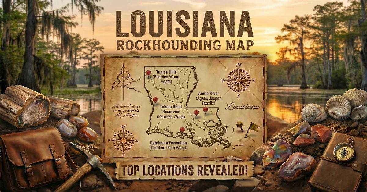
See our Louisiana rockhounding map for specific site locations and directions.