
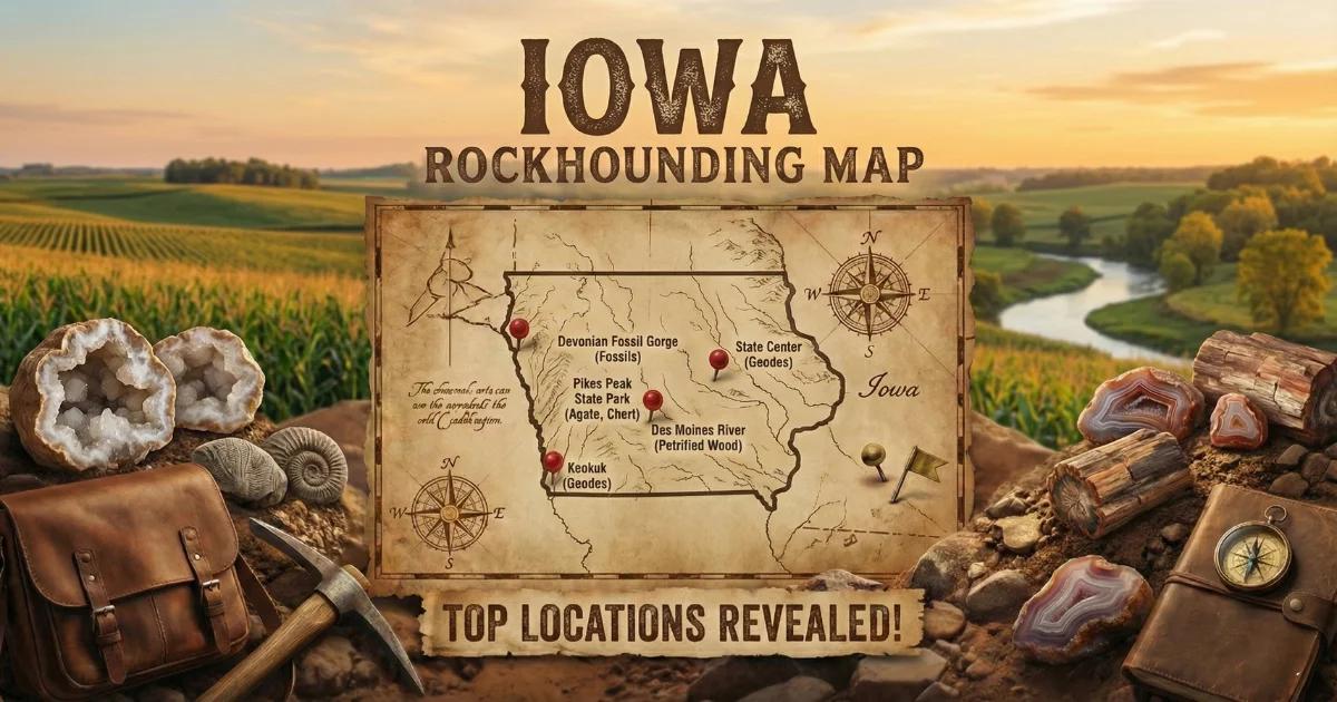
Iowa: The Geode State
Iowa is the only state in the union with an official state rock that is a geode. That distinction belongs to the Keokuk geode — a hollow, roughly spherical mass of chalcedony and quartz that forms in the Mississippian-age Warsaw Formation. The geode-producing belt runs through Lee County, Henry County, and Van Buren County in the southeastern corner of the state, roughly following the Des Moines River and its tributaries south to the Mississippi River.
The bedrock geology of Iowa is dominated by Paleozoic sedimentary rocks. Ordovician, Devonian, and Mississippian limestones, dolomites, and shales underlie most of the state. Glacial drift — unsorted clay, sand, gravel, and boulders deposited by Pleistocene ice sheets — blankets the bedrock across nearly all of Iowa. This drift layer is the source of transported gem material in the northern half of the state: Lake Superior agates, prairie agates, and assorted glacial erratics carried south from Minnesota, Wisconsin, and the Canadian Shield.
Most collecting in Iowa occurs on public land, in road ditches, along creek gravels, and at one state park with designated geode-collecting areas. Private land is common and requires landowner permission. Iowa does not have BLM land or national forest. Access depends on state parks, county road rights-of-way, and private landowner goodwill.
Top Collecting Locations
1. Geode State Park — Henry County
Land status: Iowa State Park (public). Collecting is allowed in designated areas within the park.
GPS: 40.8264° N, 91.3497° W
Vehicle: 2WD — paved roads to the park; gravel trails within.
Minerals: Keokuk geodes containing quartz crystals, chalcedony, calcite, kaolinite, pyrite, and occasional millerite.
Geode State Park sits directly on the Warsaw Formation outcrop belt in western Henry County. The park was established in 1937 specifically because of the geode deposits. Geodes weather out of the soft shale and accumulate in Skunk River tributaries and ravine bottoms within the park. Walk the creek beds during low water — late summer and early fall are best. Look for round to sub-spherical masses with a rough, knobby exterior rind of gray-brown chalcedony. Sizes range from golf balls to basketballs, with most specimens between two and six inches in diameter.
The park allows hand collecting with no power tools. A rock hammer and a cold chisel are all you need to crack geodes open in the field. Many geodes from this park contain well-formed quartz crystals lining the interior cavity. Some contain scalenohedral calcite crystals (dogtooth spar), and a small percentage contain druzy pyrite or the rare nickel sulfide mineral millerite — fine, hair-like metallic needles.
2. Des Moines River Tributaries — Lee County
Land status: Mixed. Creek beds on county road rights-of-way are accessible. Some creeks cross private land — ask permission.
GPS: 40.5100° N, 91.4500° W (general area south of Keokuk)
Vehicle: 2WD — county roads to access points; some walking required.
Minerals: Keokuk geodes, calcite, quartz, pyrite, goethite, kaolinite.
Lee County is ground zero for Keokuk geode collecting. The Warsaw Formation is well-exposed along the tributaries that feed into the Des Moines River and the Mississippi River near the city of Keokuk. Creeks such as Sugar Creek, Lick Creek, and numerous unnamed drainages cut through the geode-bearing shale. After heavy rains, fresh geodes wash out and collect in gravel bars.
The best strategy is to drive county roads that cross small creeks and walk upstream. Look for round objects in the gravel that stand out from the flat limestone rubble. A freshly exposed geode will have a cauliflower-textured outer shell. Shake it — some geodes rattle when loose crystals or sand are trapped inside. Lee County geodes tend to be slightly larger on average than those found in Henry County, and some produce exceptional clear quartz points up to two centimeters long.
3. Fox River and Big Creek — Van Buren County
Land status: Mixed public/private. Some road right-of-way access along county bridges. Lacey-Keosauqua State Park (public) also offers limited collecting.
GPS: 40.7200° N, 91.9600° W (general area near Keosauqua)
Vehicle: 2WD — county gravel roads.
Minerals: Keokuk geodes, quartz, calcite, pyrite, chalcopyrite.
Van Buren County sits on the western edge of the geode belt. The Fox River and Big Creek cut through Warsaw Formation shales here, producing collectible geodes in the creek gravels. The town of Keosauqua hosts an annual Geode Fest each fall. Lacey-Keosauqua State Park contains exposed bedrock along the Des Moines River bluffs. Creek walking in the park and along county road bridges over the Fox River are the primary access methods.
Van Buren County geodes occasionally contain chalcopyrite (copper-iron sulfide) — a brassy metallic mineral that distinguishes them from the more common pyrite-bearing geodes found farther east. Some collectors specifically target this area for mineral diversity.
4. Glacial Gravel Pits — Northern Iowa (Floyd, Cerro Gordo, and Mitchell Counties)
Land status: Private gravel operations. Permission required — ask the pit operator. Some operators allow collecting; many do not. Always call ahead.
GPS: 43.0600° N, 92.6800° W (general area near Charles City, Floyd County)
Vehicle: 2WD to high-clearance depending on pit conditions.
Minerals: Lake Superior agates, prairie agates, jasper, petrified wood, assorted glacial erratics.
The Des Moines Lobe of the Wisconsinan glacier (the most recent glacial advance, roughly 12,000–15,000 years ago) deposited thick layers of drift across northern Iowa. Gravel pits that mine this glacial drift occasionally expose Lake Superior agates — banded, iron-stained chalcedony that originated from volcanic formations near Lake Superior and was transported hundreds of miles south by glacial ice.
Lake Superior agates found in Iowa are typically small — one to three inches — and heavily weathered. They show the characteristic red, orange, and white banding with an iron-oxide stain on the exterior. Prairie agates — a less well-defined category of chalcedony nodules found in glacial gravel — also occur. These tend to be translucent gray to brown with less distinct banding than Lake Superior agates. Some pits also produce chunks of jasper, petrified wood, and igneous or metamorphic erratics carried from the Canadian Shield.
5. Devonian Fossil Sites — Floyd and Cerro Gordo Counties
Land status: Varies. Rockford Fossil and Prairie Park (public) in Floyd County. Private quarries require permission.
GPS: 43.0500° N, 92.9500° W (Rockford Fossil and Prairie Park area)
Vehicle: 2WD — paved and gravel roads.
Minerals/Fossils: Crinoid stems, brachiopods, bryozoans, horn corals (Rugosa), calcite crystals in vugs.
The Devonian-age Lime Creek Formation and Cedar Valley Group are exposed in Floyd County and Cerro Gordo County quarries and road cuts. These limestones and dolomites contain well-preserved marine fossils from when Iowa was covered by a shallow tropical sea roughly 375 million years ago. Crinoid stem segments — circular discs with a star-shaped central canal — are extremely common and often called "Indian beads" or "star stones" by local collectors.
Rockford Fossil and Prairie Park in Floyd County is the best public access point. The park preserves an old quarry exposure of Devonian limestone rich in brachiopods, crinoid columnals, and horn corals. Calcite crystals sometimes fill vugs (cavities) in the limestone. Collecting is permitted at the park — check current rules at the visitor center.
6. Mississippi River Gravel Bars — Des Moines, Louisa, and Muscatine Counties
Land status: Public gravel bars below ordinary high water mark along the Mississippi River. U.S. Army Corps of Engineers managed land. Some areas restricted — check local signage.
GPS: 41.2600° N, 91.0400° W (general area near Muscatine)
Vehicle: 2WD to access points; walking required to bars.
Minerals: Agates, chert nodules, geodes (reworked from upstream formations), jasper, petrified wood.
The Mississippi River reworks material from all upstream formations. Gravel bars along the Iowa side between Muscatine County and Des Moines County yield a grab-bag of collectible material: small agates, colorful chert, occasional geodes tumbled downstream from the Warsaw Formation, and rare pieces of petrified wood. Low water in late summer exposes the most gravel. This is a good casual collecting spot for beginners — walk the bars and pick up anything that catches your eye, then sort and identify later.
Iowa Minerals and Specimens
| Mineral / Specimen | Composition | Where Found | Notes |
|---|---|---|---|
| Quartz (crystals in geodes) | SiO₂ | Lee, Henry, Van Buren Counties | Clear to milky points lining geode interiors; up to 2 cm |
| Calcite | CaCO₃ | Geodes statewide; Devonian limestones | Scalenohedral (dogtooth spar) and rhombohedral crystals |
| Chalcedony | SiO₂ (microcrystalline) | Geode rinds; glacial drift agates | Forms the outer shell of Keokuk geodes |
| Pyrite | FeS₂ | Lee, Henry Counties (in geodes) | Druzy coatings and small cubic crystals inside geodes |
| Millerite | NiS | Henry County geodes | Rare; hair-like metallic needles; a prized collector mineral |
| Kaolinite | Al₂Si₂O₅(OH)₄ | Geodes statewide | White powdery clay filling some geode interiors |
| Goethite | FeO(OH) | Lee County geodes | Brown to yellow-brown iron hydroxide; botryoidal crusts |
| Chalcopyrite | CuFeS₂ | Van Buren County geodes | Brassy metallic; distinguished from pyrite by color and tarnish |
| Lake Superior Agate | SiO₂ (banded chalcedony) | Northern Iowa glacial drift | Iron-stained red/orange banding; transported by glaciers |
| Prairie Agate | SiO₂ (chalcedony) | Northern Iowa glacial drift | Translucent gray-brown nodules; less distinct banding |
| Crinoid Fossils | CaCO₃ (calcified) | Floyd, Cerro Gordo Counties | Devonian-age stem segments; star-shaped cross section |
Field Identification Tips
Identifying Geodes in the Field
Shape: Keokuk geodes are round to oblate (slightly flattened). They range from two inches to over twelve inches in diameter. Most collectible specimens are three to six inches.
Exterior: The outer rind is rough and knobby — a cauliflower-like texture of gray-brown chalcedony nodules. This distinguishes them from rounded river cobbles, which are smooth. If the surface feels bumpy and irregular, it is likely a geode.
Weight: A hollow geode feels lighter than a solid rock of the same size. Pick it up and compare. If it feels surprisingly light, the interior is likely hollow and crystal-lined. Solid geodes (those completely filled with chalcedony or calcite) will feel heavier.
Rattle test: Shake the geode near your ear. Some contain loose crystal fragments, sand, or water that will rattle or slosh. A rattling geode is confirmed hollow.
Crack test: Place the geode on a hard surface and strike it with a rock hammer along its equator. A single firm blow usually splits it. For a cleaner break, score a line around the circumference with a cold chisel, then tap along the score line. Some collectors use a pipe cutter or a soil-pipe cutter for the cleanest results.
Identifying Lake Superior Agates
Banding: Look for concentric bands of red, orange, white, and clear chalcedony. The banding pattern is the defining feature. Iowa specimens are typically weathered, so the banding may only be visible on a broken face or when the stone is wet.
Iron staining: The exterior is usually stained reddish-brown to orange by iron oxide. This is the quickest field indicator — a smooth, iron-stained pebble in glacial gravel warrants a closer look.
Translucency: Hold the stone up to sunlight. Agates transmit light through thin edges. River cobbles of granite, basalt, or other common glacial material will be opaque.
Waxy luster: Agates have a waxy to vitreous luster on fresh surfaces. This differs from the dull surface of most glacial gravel.
Identifying Crinoid Fossils
Shape: Crinoid stem segments are small discs or cylinders — typically 3 to 10 mm in diameter — with a central hole or star-shaped canal. They resemble small gears or Life Savers candies. Weathered specimens often separate into individual discs. Intact stem sections show stacked discs forming a segmented column.
Matrix: Found embedded in gray to tan limestone. Look on weathered surfaces of exposed Devonian bedrock where the fossils stand out in slight relief.
Recommended Tools
- Rock hammer (16–20 oz) — Essential for cracking geodes and breaking limestone to expose fossils. A flat-face/chisel-edge geological hammer works best.
- Cold chisel (3/4 inch) — For scoring geodes before splitting. Produces cleaner breaks than a hammer alone.
- Soil-pipe cutter — The preferred tool for opening geodes cleanly. A chain-type pipe cutter wraps around the geode and applies even pressure. Available at plumbing supply stores for about $30–50.
- Safety glasses — Mandatory when hammering or chiseling any rock. Quartz and chalcedony produce sharp fragments.
- 5-gallon bucket — For carrying geodes. They are heavy. A backpack works for short trips, but geodes add up fast.
- Sturdy boots (waterproof) — You will be walking creek beds. Ankle support and waterproofing are not optional. Rubber muck boots work well in summer.
- Hand lens (10x) — For examining crystal faces, mineral inclusions, and fossil details in the field.
- Spray bottle — Wetting a rock surface reveals color, banding, and crystal structure that dry surfaces hide. Useful for agate hunting in gravel pits.
- Field notebook — Record GPS coordinates, formation names, and specimen descriptions. Good collecting notes save time later.
- Newspaper or bubble wrap — Wrap geodes and crystal specimens individually for transport. Loose geodes banging together in a bucket will damage crystal interiors.
Legal Notes and Access Rules
State Parks: Iowa state parks generally allow hand collecting of rocks, minerals, and fossils for personal use. No power tools. No commercial collecting. Geode State Park (Henry County) explicitly permits geode collecting in designated areas. Check with individual park offices for current rules — policies can change.
County Road Rights-of-Way: In Iowa, county road ditches and the area within the road right-of-way are public. Collecting loose material (geodes, gravel, fossils) from road ditches and bridge abutments is generally tolerated. Do not excavate or damage road infrastructure. Do not block traffic.
Private Land: The majority of Iowa is privately owned agricultural land. Never enter private property without explicit permission from the landowner. Many farmers in the geode belt are familiar with collectors and will grant access if asked politely. Some may direct you to productive spots on their property. Leave gates as you found them. Do not damage crops or fences.
Gravel Pits: Active commercial gravel pits are private operations. Trespassing is illegal and dangerous due to heavy equipment. Some pit operators allow collecting on weekends or after hours — always call ahead and get permission. Wear high-visibility clothing if permitted on-site.
Mississippi River: Gravel bars below the ordinary high water mark are generally considered public under federal navigable waterway rules. However, access to the bars may require crossing private land. Use public boat ramps or designated access points. U.S. Army Corps of Engineers manages some shoreline areas — check for posted restrictions.
Quantity Limits: Iowa does not have a statewide weight or quantity limit for personal rock and mineral collecting on public land. Use common sense — collect what you can reasonably carry and use. Do not strip a site bare. Leave material for the next collector.
Fossil Collecting: Invertebrate fossils (crinoids, brachiopods, corals, bryozoans) are legal to collect on public and private land with permission. Vertebrate fossils on state land may have different rules — check with the Iowa Department of Natural Resources if you encounter bone material.
Planning Your Trip
Best season: Late summer through early fall (August–October). Creek water levels drop, exposing fresh gravel bars and geode-bearing shale banks. Geode Fest in Van Buren County typically runs in late September or early October. Spring collecting works but creek levels are often high after snowmelt.
Weather: Iowa summers are hot and humid (85–95°F in July and August). Carry water. Ticks are common in tall grass and wooded creek banks from May through September — use DEET or permethrin-treated clothing. Winters are cold (below 0°F is routine) and snow covers collecting sites from December through March.
Nearest cities: The geode belt is roughly a three-hour drive southeast of Des Moines. Burlington (Des Moines County) and Keokuk (Lee County) are the closest towns with lodging, fuel, and supplies. For northern Iowa agate and fossil sites, Mason City (Cerro Gordo County) and Charles City (Floyd County) serve as base camps.
Camping: Geode State Park has 80 campsites (electric and non-electric). Lacey-Keosauqua State Park in Van Buren County also has camping. Private campgrounds exist near the Mississippi River towns.
Browse our Iowa rockhounding map for all locations.
For detailed geode-specific instructions, see our Iowa geode guide.