
New Mexico's Volcanic Geode Terrain
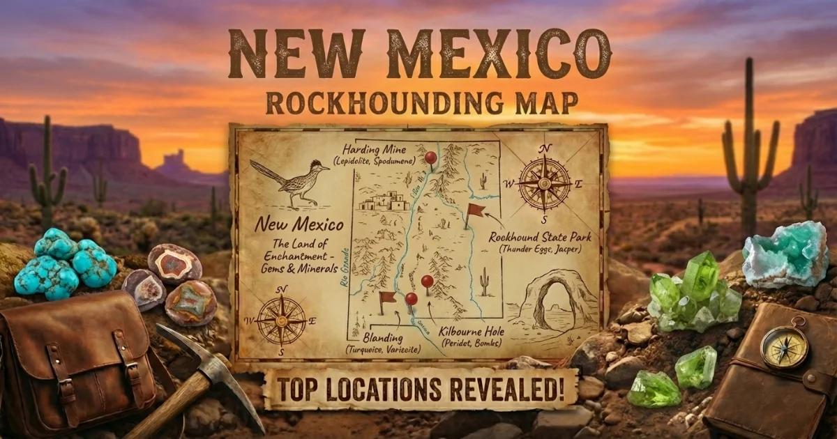
New Mexico has the distinction of operating the only state park in the United States dedicated specifically to rockhounding. Rockhound State Park near Deming allows visitors to collect up to 15 pounds of rocks and minerals per visit — including geodes, thundereggs, and agate. That alone makes the state worth a trip, but the geode-producing geology extends far beyond the park boundaries.
Southern New Mexico's landscape was shaped by Tertiary-age volcanism. Between 40 and 20 million years ago, rhyolite eruptions deposited thick flows and tuff sheets across the region. As these flows cooled, trapped gas created vesicles — cavities ranging from marble-sized to basketball-sized. Silica-saturated groundwater moved through the porous rock over millions of years, depositing chalcedony, agate, and quartz crystals inside these voids. The result is geodes and thundereggs scattered through the volcanic formations.
The distinction between geodes and thundereggs matters here. A true geode has a hollow interior lined with crystals. A thunderegg is typically solid — filled with banded agate, chalcedony, or jasper in a star-shaped or irregular pattern. Both form in volcanic rock by similar processes, and both occur at Rockhound State Park and throughout the Deming area. You will likely find both on any collecting trip.
Top Collecting Locations
1. Rockhound State Park — Luna County
GPS: 32.30°N, 107.62°W (park entrance)
Land status: New Mexico State Park (collecting permitted — 15 lb limit per visit)
Fee: $5 day-use per vehicle
Vehicle: 2WD (paved road to the park; collecting areas are foot-access trails)
Nearest town: Deming (14 miles northwest via NM-141)
Rockhound State Park sits on the eastern flank of the Little Florida Mountains, which are built from Tertiary rhyolite flows. The park was established in 1966 specifically to provide public access to the mineral deposits, and it remains the easiest legal collecting site in the state.
The collecting method is simple: park at the trailhead, walk the designated trails up the hillsides above the campground, and pick up thundereggs and geodes that have weathered out of the rhyolite. They lie on the surface or just below it in the decomposed volcanic soil. A rock hammer helps for extracting partially embedded specimens, and a garden trowel is useful for shallow digging.
The thundereggs here have a chalky gray-brown rhyolite exterior that gives no hint of what is inside. When cut or cracked, the interiors reveal banded agate, quartz crystals, or chalcedony in shades of blue, gray, and white. Jasper, perlite (natural volcanic glass), and flow-banded rhyolite are common surface finds as well.
The park has a developed campground with electric hookups, water, and restrooms. Camping here lets you collect over multiple days — the 15-pound limit is per visit, so a three-day camping trip gives you three collecting sessions. The campground is rarely full except during major holiday weekends.
2. BLM Lands Near Deming — Florida Mountains and Tres Hermanas
GPS: 32.10°N, 107.55°W (general Florida Mountains area)
Land status: BLM (public)
Vehicle: High-clearance for BLM backcountry roads
Nearest town: Deming
The BLM-managed desert surrounding the state park and extending south toward the Mexican border contains the same volcanic formations that produce specimens inside the park. The Florida Mountains (pronounced "flo-REE-dah" locally), Tres Hermanas Mountains, and Cedar Hills have all produced geodes, thundereggs, and agate from rhyolite outcrops.
BLM land allows more liberal collecting than the state park — the federal limit is 25 pounds per day plus one piece, not to exceed 250 pounds per year. The trade-off is that the BLM sites are more remote, less marked, and require more self-reliance. Bring a detailed map, extra water, and a full tank of gas. Cell service is spotty to nonexistent south of Deming.
3. Kilbourne Hole — Dona Ana County
GPS: 31.97°N, 106.97°W (maar crater)
Land status: BLM (public) — National Natural Landmark
Vehicle: High-clearance required; 4WD recommended
Nearest town: Las Cruces (approximately 30 miles northeast)
Kilbourne Hole is a maar volcano — a broad, shallow crater formed by a steam explosion when rising magma contacted groundwater. The eruption punched through the crust and ejected peridotite xenoliths, which are actual chunks of the Earth's mantle brought to the surface. These olivine-rich xenoliths are scientifically significant and visually striking — dark green to olive-colored rocks that are dense and heavy.
While not geodes in the traditional sense, the vesicular basalt around the crater rim contains small agate-filled cavities. The xenoliths themselves are the main attraction. Kilbourne Hole is designated a National Natural Landmark, which means collecting is limited. Check with the BLM Las Cruces District Office (575-525-4300) for current regulations before visiting. Surface collecting of loose material has historically been allowed in limited quantities, but enforcement and rules can change.
4. Hatch Area — Dona Ana / Sierra County
GPS: 32.65°N, 107.15°W (general area)
Land status: BLM (public)
Vehicle: High-clearance recommended
Nearest town: Hatch
The volcanic hills west of Hatch (famous for its green chile, not its rocks) produce scattered geodes and agate nodules in rhyolite and tuff formations. This is less-known collecting territory compared to the Deming area, and it sees far less foot traffic. The BLM roads are rough and unsigned — offline GPS is essential. Standard BLM casual collecting rules apply.
5. San Acacia Area — Socorro County
GPS: 34.25°N, 106.88°W (general area)
Land status: BLM (public)
Vehicle: High-clearance; 4WD for some roads
Nearest town: Socorro
The volcanic terrain in Socorro County, part of the Rio Grande Rift zone, produces scattered thundereggs and geodes in rhyolite formations. The area around San Acacia and the Magdalena Mountains has been collected by local rockhounds for decades. Agate nodules and occasional hollow geodes turn up in weathered volcanic outcrops on BLM land. This is good exploring territory if you want to find your own sites rather than visiting established ones.
Specimens You Can Find
| Mineral/Material | Location | Occurrence | Notes |
|---|---|---|---|
| Thundereggs (agate-filled) | Rockhound SP, Deming BLM | Common | Star-shaped or banded agate interiors; 1-6 inches |
| Quartz geodes (hollow) | Rockhound SP, Deming BLM | Common | Crystal-lined cavities; clear to milky quartz |
| Chalcedony | All sites | Very common | Blue, gray, white; shell material and interior fill |
| Banded agate | All sites | Common | Concentric banding; best revealed by cutting |
| Jasper | Rockhound SP, Deming BLM | Common | Red, brown, yellow; opaque chalcedony |
| Perlite | Rockhound SP | Common | Natural volcanic glass; gray-white, lightweight |
| Flow-banded rhyolite | Rockhound SP | Common | Decorative flow patterns in volcanic rock |
| Peridotite xenoliths | Kilbourne Hole | Uncommon | Mantle rock; olivine-rich, dark green |
| Opal (common) | Deming BLM, Hatch | Uncommon | Non-precious opal in volcanic matrix |
Recommended Tools and Gear
- Rock hammer (2-3 lb): For cracking geodes and extracting thundereggs from rhyolite matrix.
- Garden trowel or small pick: For shallow digging at Rockhound State Park and BLM sites.
- 5-gallon bucket: Standard hauling container. The 15-pound state park limit fills about half a bucket.
- Eye protection: Required when cracking geodes. Rhyolite and quartz splinters are sharp.
- Water — 1 gallon per person per day minimum: Southern New Mexico is high desert. Dehydration sets in fast.
- Sun protection: Hat, sunscreen, long sleeves. Elevation is 4,000-5,000 feet — UV is intense.
- Diamond rock saw (at home): Thundereggs must be cut, not cracked, to reveal their interiors. Most rock shops in Deming offer cutting services for a few dollars per cut if you do not own a saw.
- Offline GPS maps: Cell coverage drops off quickly outside Deming and Las Cruces. Download maps before leaving town.
Legal and Access Information
Rockhound State Park: The park permits collecting of up to 15 pounds of rocks and minerals per visit. A day-use fee of $5 per vehicle is charged. You may use hand tools only — no power equipment. Collecting is restricted to designated areas along the hillside trails. The campground offers a convenient base for multi-day visits.
BLM land: Casual collecting of rocks, minerals, and gemstones on BLM land is permitted under 43 CFR 8365. The limit is 25 pounds per day plus one piece, not to exceed 250 pounds per year. No commercial collecting without a permit. Hand tools only for casual collecting.
Kilbourne Hole: As a National Natural Landmark, Kilbourne Hole has additional protections. Collecting restrictions may be more stringent than standard BLM land. Contact the BLM Las Cruces District Office for current rules. The site is remote and the road is rough — do not attempt it without high clearance and a full tank of gas.
Private land and state land: Some desert land around Deming is private ranch land or New Mexico State Trust Land. State Trust Land requires a recreational access permit. Check with the New Mexico State Land Office for current permit requirements. Do not cross fences onto private property without permission.
Best Time to Go
October through April is the prime collecting season for southern New Mexico. Daytime temperatures during this window are typically 50 to 80 degrees F — comfortable for hiking and digging. Summer temperatures routinely exceed 100 degrees F, and the UV at 4,000+ feet elevation makes sun exposure dangerous even on overcast days.
Rockhound State Park's campground is pleasant from late September through May. Spring (March through April) brings occasional wind storms that can make outdoor activity miserable — the fine desert dust gets into everything. Fall (October through November) is generally the best overall weather window.
Find more sites on our New Mexico rockhounding map.