
Rockhounding near me: map of 61,965 sites
The map holds 61,965 sites: 19,452 in the United States, 28,529 in Canada and 13,984 in 107 other countries.
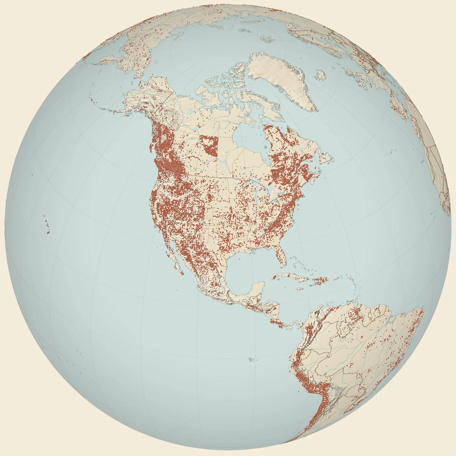
Rockhounding sites near you
- USGS locality D6765 · MTFossil0.0 mi
- USGS locality D6767 · MTFossil2.2 mi
- USGS locality D6763 · MTFossil2.3 mi
- USGS locality 9199 · MTFossil20 mi
- western Carter County · MTFossil38 mi
- USGS locality 4892, Big Goose Creek, WY, upper Fort Union Fm · WYFossil47 mi
- RC1966 · WYFossil55 mi
- RC1971 · WYFossil57 mi
- Ninja Turtle locality · MTFossil58 mi
- Custer County · MTMontana Agate59 mi
- Medicine Rocks Site 1 · MTFossil66 mi
- Cloverly (OMNH V62) · MTFossil68 mi
- USGS locality 5618, just above coal bed 175 ft. below Rolan coal, Fort Union Fm · WYFossil68 mi
- Alzada · MTBentonite71 mi
- USGS locality D6768 · MTFossil72 mi
- USGS locality 4908, near Prairie Dog Creek, WY, upper Fort Union Fm · WYFossil73 mi
- USGS locality 4898, 3 miles east of Carneyville, WY, upper Fort Union Fm · WYFossil76 mi
- USGS locality 4897,west side of Tongue River, WY, upper Fort Union Fm · WYFossil76 mi
- Castle Butte (USNM) · MTFossil79 mi
- Terry · MTPetrified Wood, Chalcedony and Jasper86 mi
- Buffalo · WYAgate, Chalcedony, Gastrolith and 3 more88 mi
- USGS locality 8566, 4.5 miles east of Gillette, in clinker, Fort Union · WYFossil89 mi
- USGS locality 8668, 10 miles south of Rozet (east of Gillette), Fort Union Fm · WYFossil91 mi
- Fallon · MTMontana Agate94 mi
- USGS locality 6057, 30 mi south of Moorcroft, Belle Fourche, Fort Union · WYFossil95 mi
Rockhounding maps for all 50 states
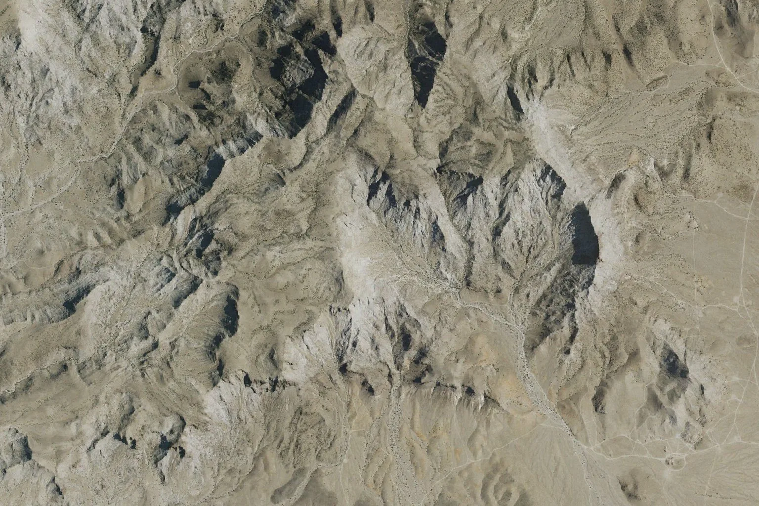
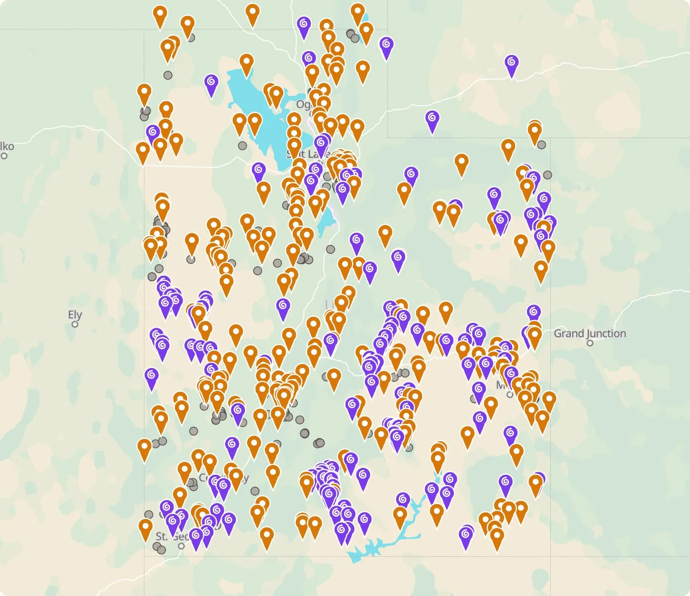 Street map, freeSatellite, Pro
Who owns the land, and where the claims are
Questions about the map
Is it legal to collect at these sites?
That depends on who owns the land. Most BLM land allows hand collecting of reasonable amounts for personal use, national parks allow none, and private land needs the owner’s permission.
Where do the sites come from?
Members add and correct sites. We also import public records from the USGS Mineral Resources Data System and provincial mineral inventories in Canada.
Is there a rockhounding map that works with no signal?
Yes. With Pro, the rockhounding.org app saves map areas for offline use, and the website exports sites as GPX or KML for Gaia, onX or Garmin.
How do I find rockhounding sites near me?
Tap “Show sites near me” and allow location.
What are pay-to-dig sites?
Mines, quarries and gem fields that charge a fee to dig, often with tools and a guide. The map has 100 of them.
How do I add a site to the map?
Choose Submit New Location under the full map. Give the coordinates, what can be found there and who owns the land.