
Rockhounding near me: map of 61,965 sites
The map holds 61,965 sites: 19,452 in the United States, 28,529 in Canada and 13,984 in 107 other countries.
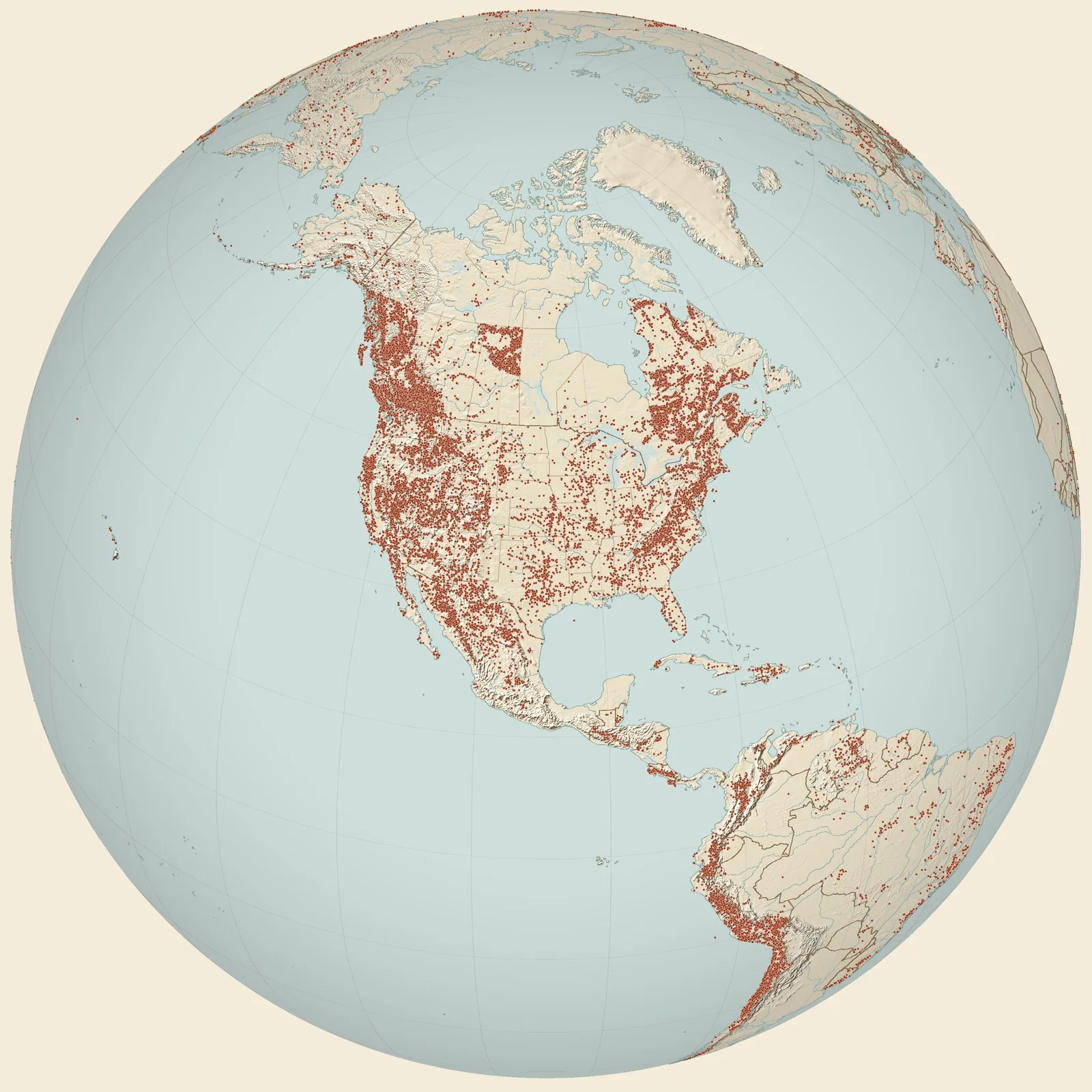
Rockhounding sites near you
- Locality 117: Zone 5, Wood’s Quarry Lake, Kelly’s Island Lime & Transport Co · MIFossil0.0 mi
- Locality 42: Zone 3, East Shore False Presque Isle · MIFossil1.9 mi
- Locality 119: Zone 1, North Shore Presque Isle · MIFossil3.0 mi
- Locality 39: Lake Huron shore, ½ miles north of Alpena-Presque Isle County line · MIFossil4.7 mi
- Quarry of the Kelley's Island Lime and Transport Company, exposed in a drainage · MIFossil5.5 mi
- Rockport Recreation Area · MIFossil, Petoskey Stone and Pyrite5.7 mi
- West Long Lake Road & Martin's Resort · MIFossil5.9 mi
- Presque Isle · MIAgate, Geode and Sandstone With Calcite Vein7.6 mi
- Locality 51. Abandoned shale pit of Alpena Portland Cement Company · MIFossil10 mi
- Alpena County, Norway Point Formation · MIFossil11 mi
- river bed immediately downstream from the Four Mile Dam on Thunder Bay River · MIFossil13 mi
- Dock Street Clay Member, locality Dgm-5 · MIFossil13 mi
- Specification Stone Products Quarry · MIFossil14 mi
- Locality 68. Small shale pit at the northwest corner of the Alpena Cemetery · MIFossil14 mi
- Locality 40. Quarry of Michigan Alkali Company, eastern edge of Alpena · MIFossil14 mi
- Huron Portland Cement Company Quarry · MIFossil15 mi
- Potter Farm, ditch on Burkholder Road · MIFossil15 mi
- Pit in NW corner of Alpena Cemetery · MIFossil15 mi
- Abandoned quarry of the Thunder Bay Quarries Company, eastern edge of Alpena · MIFossil15 mi
- Loc. 35. Bluffs on the northeast side of Partridge Point · MIFossil15 mi
- Norway Point brach list Alpena and Presque Isle · NYFossil16 mi
- Paxton Quarry (Lafarge North America Inc.) · MIFossil18 mi
- Kesling Quarry Visit 1949 · MIFossil18 mi
- Ehlers Quarry Collection 1926 · MIFossil20 mi
- Loc. 52h. Roadside near center of NE. 1/4 sect. 22, T. 32N.,R.8E., Alpena County · MIFossil23 mi
Rockhounding maps for all 50 states
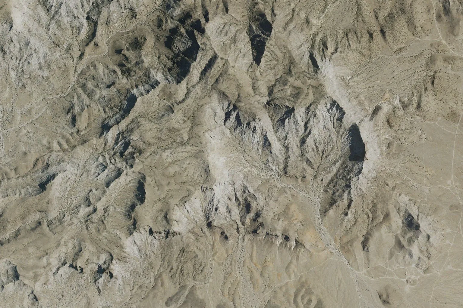
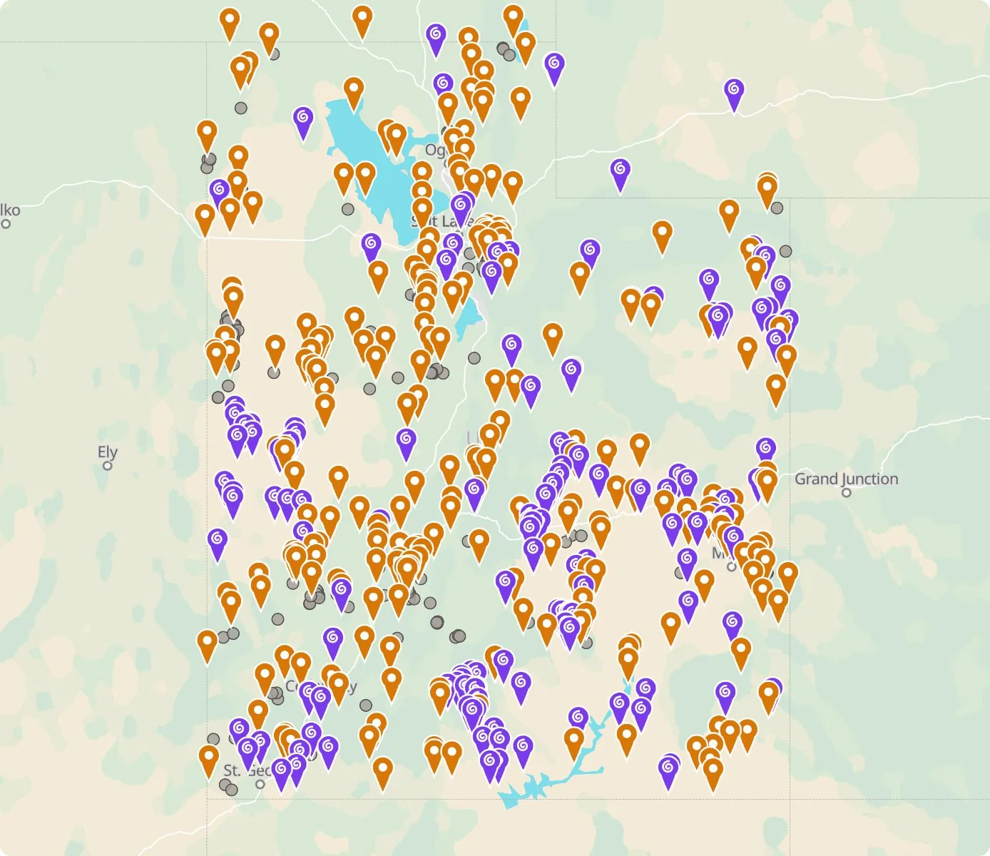 Street map, freeSatellite, Pro
Who owns the land, and where the claims are
Questions about the map
Is it legal to collect at these sites?
That depends on who owns the land. Most BLM land allows hand collecting of reasonable amounts for personal use, national parks allow none, and private land needs the owner’s permission.
Where do the sites come from?
Members add and correct sites. We also import public records from the USGS Mineral Resources Data System and provincial mineral inventories in Canada.
Is there a rockhounding map that works with no signal?
Yes. With Pro, the rockhounding.org app saves map areas for offline use, and the website exports sites as GPX or KML for Gaia, onX or Garmin.
How do I find rockhounding sites near me?
Tap “Show sites near me” and allow location.
What are pay-to-dig sites?
Mines, quarries and gem fields that charge a fee to dig, often with tools and a guide. The map has 100 of them.
How do I add a site to the map?
Choose Submit New Location under the full map. Give the coordinates, what can be found there and who owns the land.