
Rockhounding near me: map of 61,965 sites
The map holds 61,965 sites: 19,452 in the United States, 28,529 in Canada and 13,984 in 107 other countries.
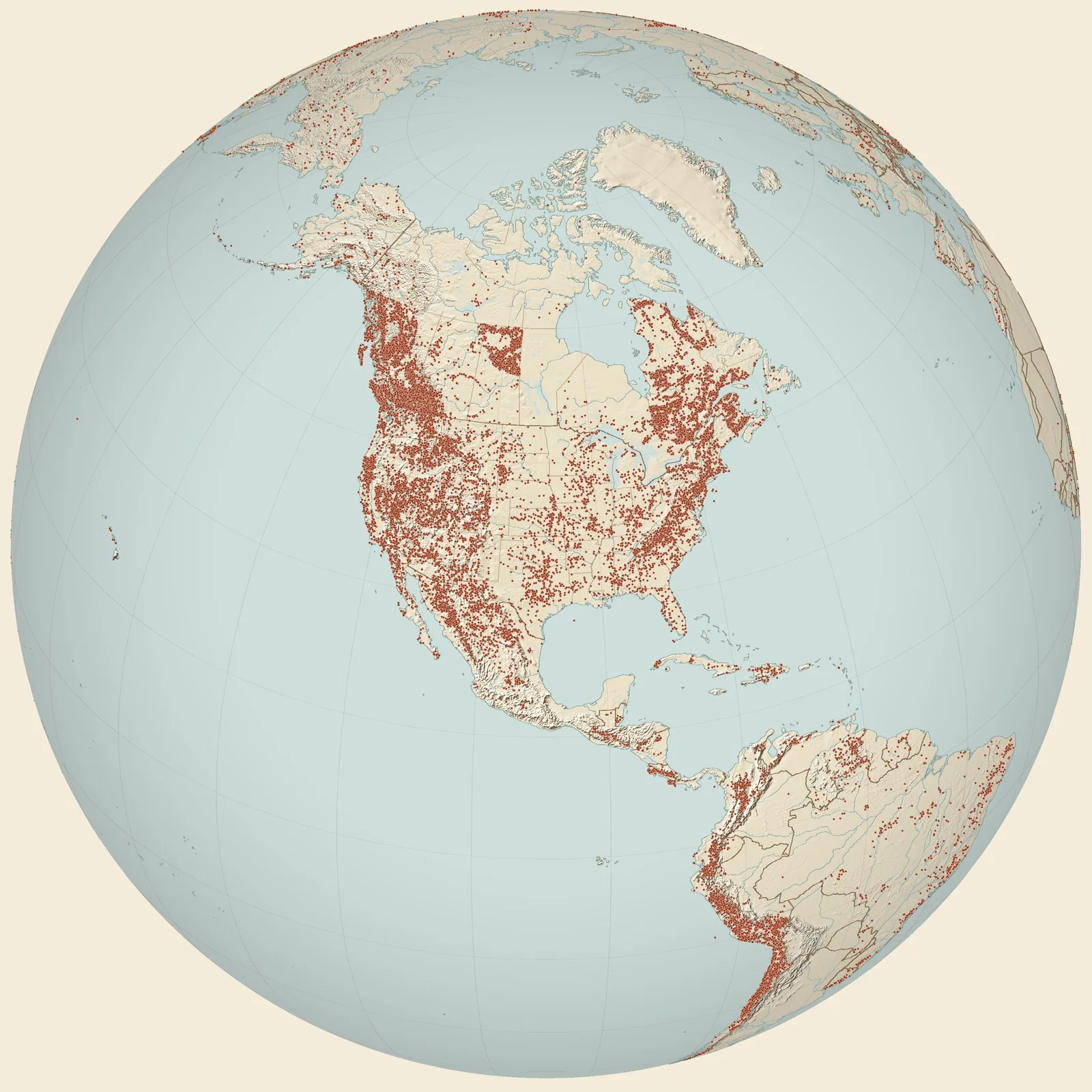
Rockhounding sites near you
- Locality 22 (Johnnycake Hill Ravine), Camarotoechia sandstones, Mottville Member · NYFossil0.0 mi
- Locality 19 (Livermore Gully?), Camarotoechia sandstones, Mottville Member, Madi · NYFossil1.9 mi
- AMNH 3016. Small road cut on south side of US Rte 20, 0.2 mi. S. US Rte 46 · NYFossil4.3 mi
- Locality 24 (Tinker Hollow Road), Camarotoechia sandstones, Mottville Member, Ma · NYFossil5.2 mi
- AMNH 3015. Covered quarry on west side of Cole Rd, 0.2 mi. S. of US Rte 30/Morri · NYFossil5.2 mi
- Locality 21 (Payne Brook), Camarotoechia sandstones, Mottville Member, Madison C · NYFossil7.1 mi
- Upper end of roadcut 0.35 km east of Munns, and 50 m east of Mosquito Point · NYFossil7.3 mi
- Locality 26 (Fitch Road), Camarotoechia sandstones, Mottville Member, Madison Co · NYFossil7.5 mi
- Locality 27 (Tubbs Road), Camarotoechia sandstones, Mottville Member, Oneida Co · NYFossil7.9 mi
- Lebanon · NYFossil8.5 mi
- AMNH 3013. Small quarry on east side of Swamp Rd, 1 mi. S. of Gill Rd. Intersect · NYFossil8.6 mi
- AMNH 3012. Road cut on east side of Swamp Road, ½ mi. s. of Gill Rd Intersection · NYFossil9.1 mi
- AMNH 3014. Small quarry on west side of Old County Rd, 1.6 mi. S. of Gill Rd. In · NYFossil9.5 mi
- Herrmannina-Howellella-Stromatolite Comm., Sconondoa Limestone, Central New York · NYFossil13 mi
- South Lansing 2A · NYFossil14 mi
- Sherburne 19B1 · NYFossil15 mi
- Sherburne 19B3 · NYFossil15 mi
- Sherburne 19B5 · NYFossil15 mi
- Sherburne 19B8 · NYFossil15 mi
- Sherburne 19B7 · NYFossil15 mi
- Sherburne 19C1 · NYFossil17 mi
- New Berlin 20A7 · NYFossil17 mi
- Sherburne 19C2 · NYFossil17 mi
- Sherburne 19C3 · NYFossil17 mi
- Sherburne 19C4 · NYFossil17 mi
Rockhounding maps for all 50 states
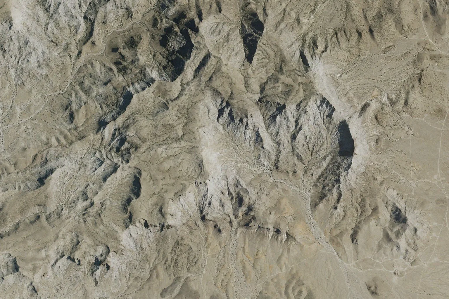
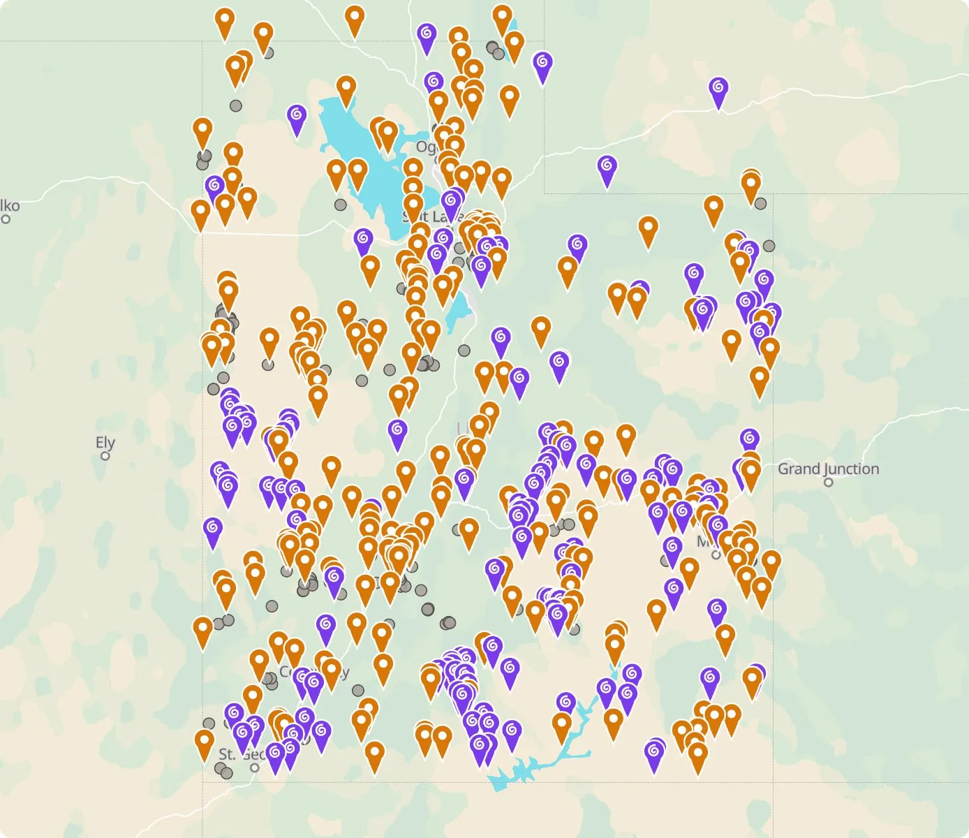 Street map, freeSatellite, Pro
Who owns the land, and where the claims are
Questions about the map
Is it legal to collect at these sites?
That depends on who owns the land. Most BLM land allows hand collecting of reasonable amounts for personal use, national parks allow none, and private land needs the owner’s permission.
Where do the sites come from?
Members add and correct sites. We also import public records from the USGS Mineral Resources Data System and provincial mineral inventories in Canada.
Is there a rockhounding map that works with no signal?
Yes. With Pro, the rockhounding.org app saves map areas for offline use, and the website exports sites as GPX or KML for Gaia, onX or Garmin.
How do I find rockhounding sites near me?
Tap “Show sites near me” and allow location.
What are pay-to-dig sites?
Mines, quarries and gem fields that charge a fee to dig, often with tools and a guide. The map has 100 of them.
How do I add a site to the map?
Choose Submit New Location under the full map. Give the coordinates, what can be found there and who owns the land.