
Rockhounding near me: map of 61,965 sites
The map holds 61,965 sites: 19,452 in the United States, 28,529 in Canada and 13,984 in 107 other countries.
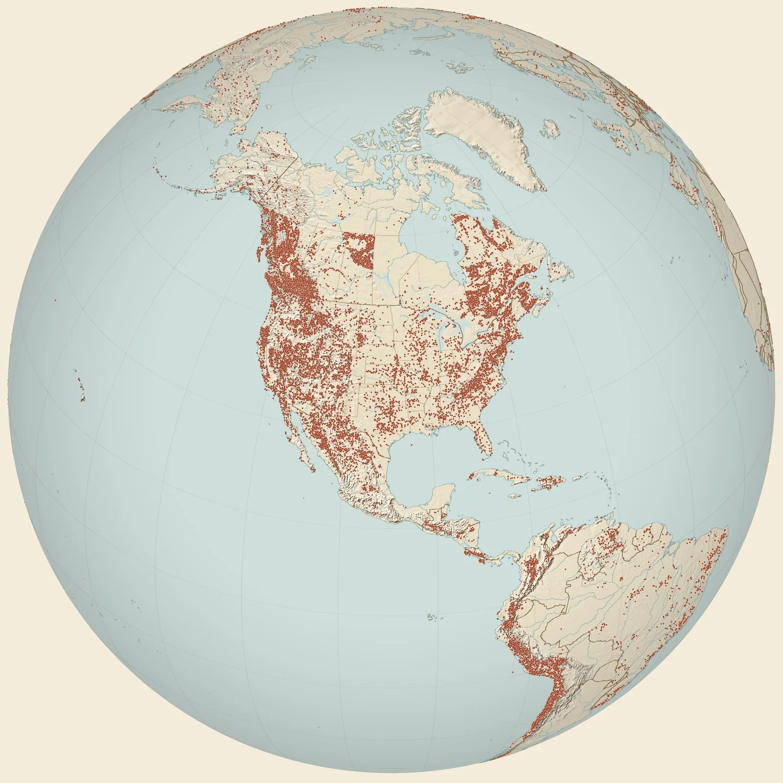
Rockhounding sites near you
- Along Hendy Creek, where road turns SW from village of Hendy Creeks + 11 to cree · NYFossil0.0 mi
- South Lansing 1A · NYFossil7.4 mi
- Locality 1, Big Hollow Creek, Peppermill Gulf bed, Centerfield Member, Ludlowvil · NYFossil9.0 mi
- South Lansing 4A · NYFossil9.5 mi
- Locality 27, Fayette Town Quarry/Dump, Levanna Member, Skaneateles Formation, Se · NYFossil12 mi
- Locality 2, Moonshine Falls, Peppermill Gulf bed, Centerfield Member, Ludlowvill · NYFossil12 mi
- Elmira quad · NYFossil12 mi
- halfway up side of 3rd waterfall, Shurger's Glen, neary Norton's Landing, Cayuga Lake, Ithaca · NYFossil18 mi
- Ludlowville · NYFossil21 mi
- Cayuga Lake · NYFossil21 mi
- Hall Locality 67. Hall Locality, Menteth's Point, Canadaigua Lake · NYFossil22 mi
- Paedumias-Bonnia fauna, Washington Cnty, New Your - Rasetti and Theokritoff 1967 · NYFossil23 mi
- Locality 3, Conklin Grove, Peppermill Gulf bed, Centerfield Member, Ludlowville · NYFossil24 mi
- Canadaigua · NYFossil25 mi
- Wellsburg · NYFossil25 mi
- .4 mi E of Chemung River bridge on NY hgwy 427 (+Erie RR) · NYFossil27 mi
- Locality 4, Borodino Landing, Peppermill Gulf bed, Centerfield Member, Ludlowvil · NYFossil32 mi
- Duputron Ck, 2 mi SW of Caroline Depot, Dryden quad · NYFossil33 mi
- Whitfieldella-Rhynchotreta Community of the Rochester Shale at Second Creek · NYFossil34 mi
- Sodus Creek at Glenmark - Rochester/Lockport Transition · NYFossil36 mi
- Tormosocrinus-Kyphosocrinus Assoc., Wolcott Limestone (Grainstone Facies) · NYFossil38 mi
- Waverly quad · NYFossil39 mi
- Locality 075. Hendy Creek at base of eastern extremity of Leach Hill · NYFossil40 mi
- Monograptid-Strophochonetes Community at the lower meter of the Williamson Shale · NYFossil41 mi
- Pisocrinus sp. Assoc., amorphognathoides Zone, West-Central New York · NYFossil42 mi
Rockhounding maps for all 50 states
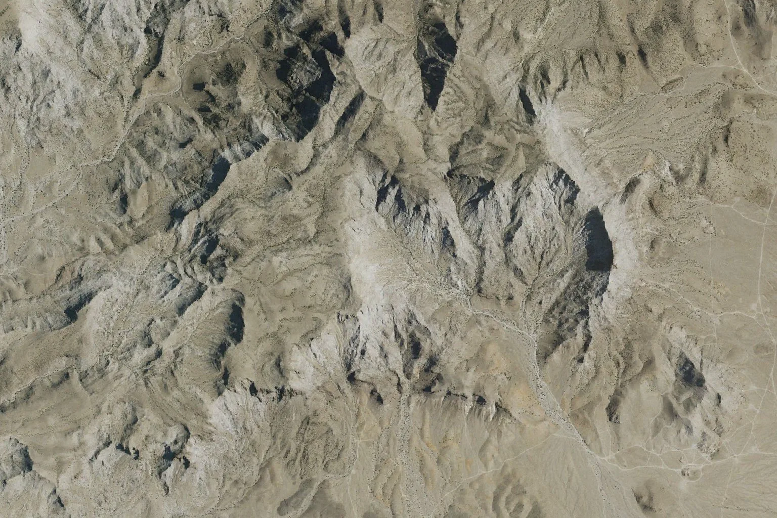
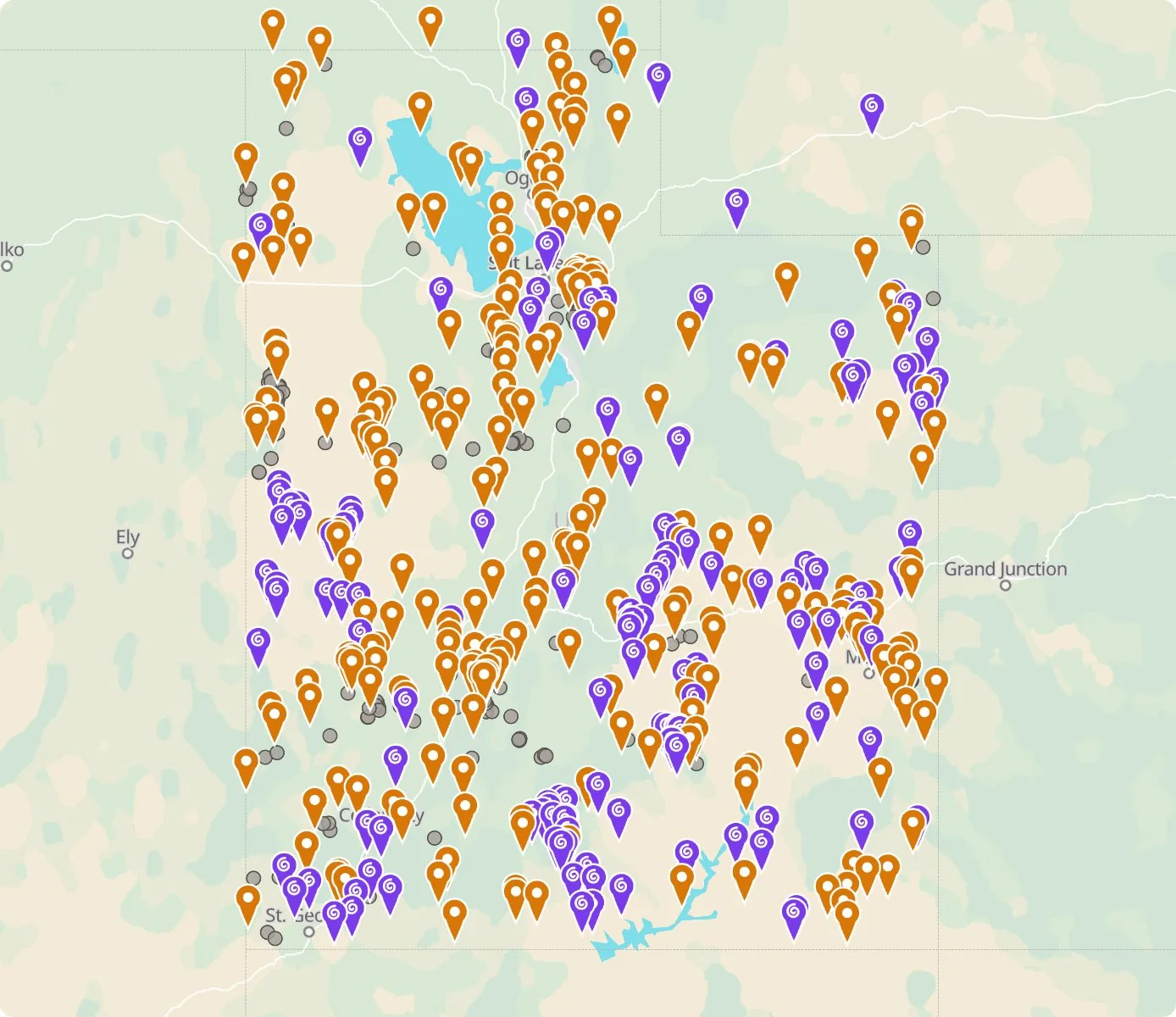 Street map, freeSatellite, Pro
Who owns the land, and where the claims are
Questions about the map
Is it legal to collect at these sites?
That depends on who owns the land. Most BLM land allows hand collecting of reasonable amounts for personal use, national parks allow none, and private land needs the owner’s permission.
Where do the sites come from?
Members add and correct sites. We also import public records from the USGS Mineral Resources Data System and provincial mineral inventories in Canada.
Is there a rockhounding map that works with no signal?
Yes. With Pro, the rockhounding.org app saves map areas for offline use, and the website exports sites as GPX or KML for Gaia, onX or Garmin.
How do I find rockhounding sites near me?
Tap “Show sites near me” and allow location.
What are pay-to-dig sites?
Mines, quarries and gem fields that charge a fee to dig, often with tools and a guide. The map has 100 of them.
How do I add a site to the map?
Choose Submit New Location under the full map. Give the coordinates, what can be found there and who owns the land.