
Rockhounding near me: map of 61,923 sites
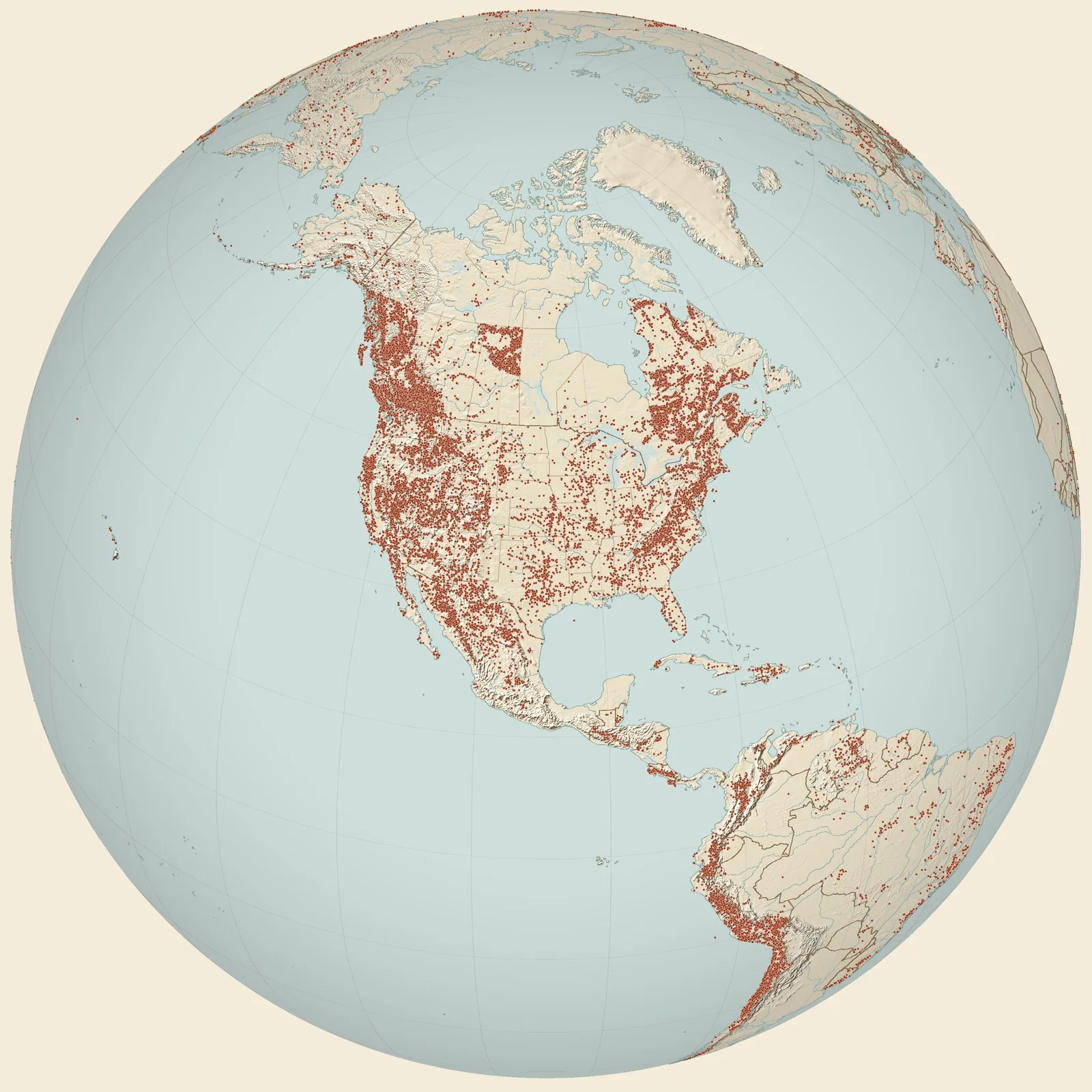
The map holds 61,923 sites: 19,410 in the United States, 28,529 in Canada and 13,984 in 107 other countries.
Rockhounding sites near you
- Coils Creek Member 1996-40 · NVFossil0.0 mi
- Rose Mine · NVAzurite, Chrysocolla, Copper and 2 more2.7 mi
- Last Time · NVAzurite, Chrysocolla, Copper and 5 more3.5 mi
- Antelope Mine · NVAnglesite, Copper, Galena and 6 more3.6 mi
- Bartine Member 2000-26 · NVFossil5.4 mi
- Fish Creek Range (PROXY) · NVFossil5.5 mi
- Diamond-Excelsior Tunnel · NVCopper, Galena, Gold and 2 more7.0 mi
- Dugout Tunnel · NVCopper, Galena, Gold and 2 more7.8 mi
- Burning Moscow Mine · NVCopper, Galena, Silver and 1 more7.9 mi
- Young Prospect · NVAzurite, Chrysocolla, Copper and 2 more7.9 mi
- Stibnite Prospect · NVAzurite, Chrysocolla, Copper and 5 more8.0 mi
- Eureka Nevada Tunnel · NVAnglesite, Copper, Galena and 3 more8.7 mi
- Ruby Hill Tunnel · NVGalena, Gold, Molybdenite and 2 more8.9 mi
- Diamond Mine · NVAnglesite, Bismuth, Galena and 8 more9.0 mi
- New Windfall Shaft · NVCopper, Galena, Gold and 2 more9.0 mi
- California Tunnel · NVCopper, Galena, Gold and 1 more9.4 mi
- Distinction Tunnel · NVAnglesite, Copper, Galena and 3 more9.8 mi
- Black Spot · NVAzurite, Chrysocolla, Copper and 4 more9.8 mi
- Mineral Hill · NVCopper, Lead, Silver and 1 more10 mi
- Dunderberg Mine · NVGalena, Gold, Silver and 1 more10 mi
- Eureka · NVArsenic, Copper, Gold and 3 more10 mi
- T.L. Shaft · NVCerussite, Galena, Gold and 4 more11 mi
- Adams Hill Area · NVGalena, Gold, Silver and 1 more12 mi
- Gibellini Manganese Mine · NVAzurite, Chalcedony, Chrysocolla and 11 more13 mi
- Mountain View Mine · NVAzurite, Cerussite, Copper and 6 more14 mi
Rockhounding maps for all 50 states
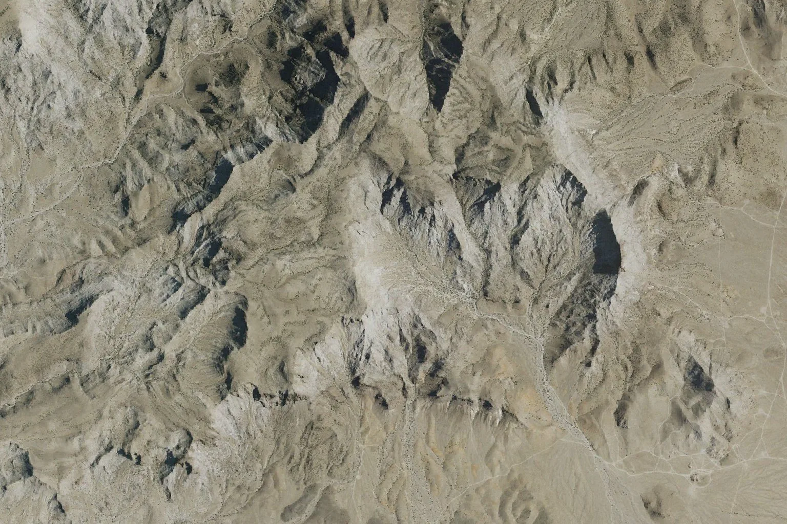
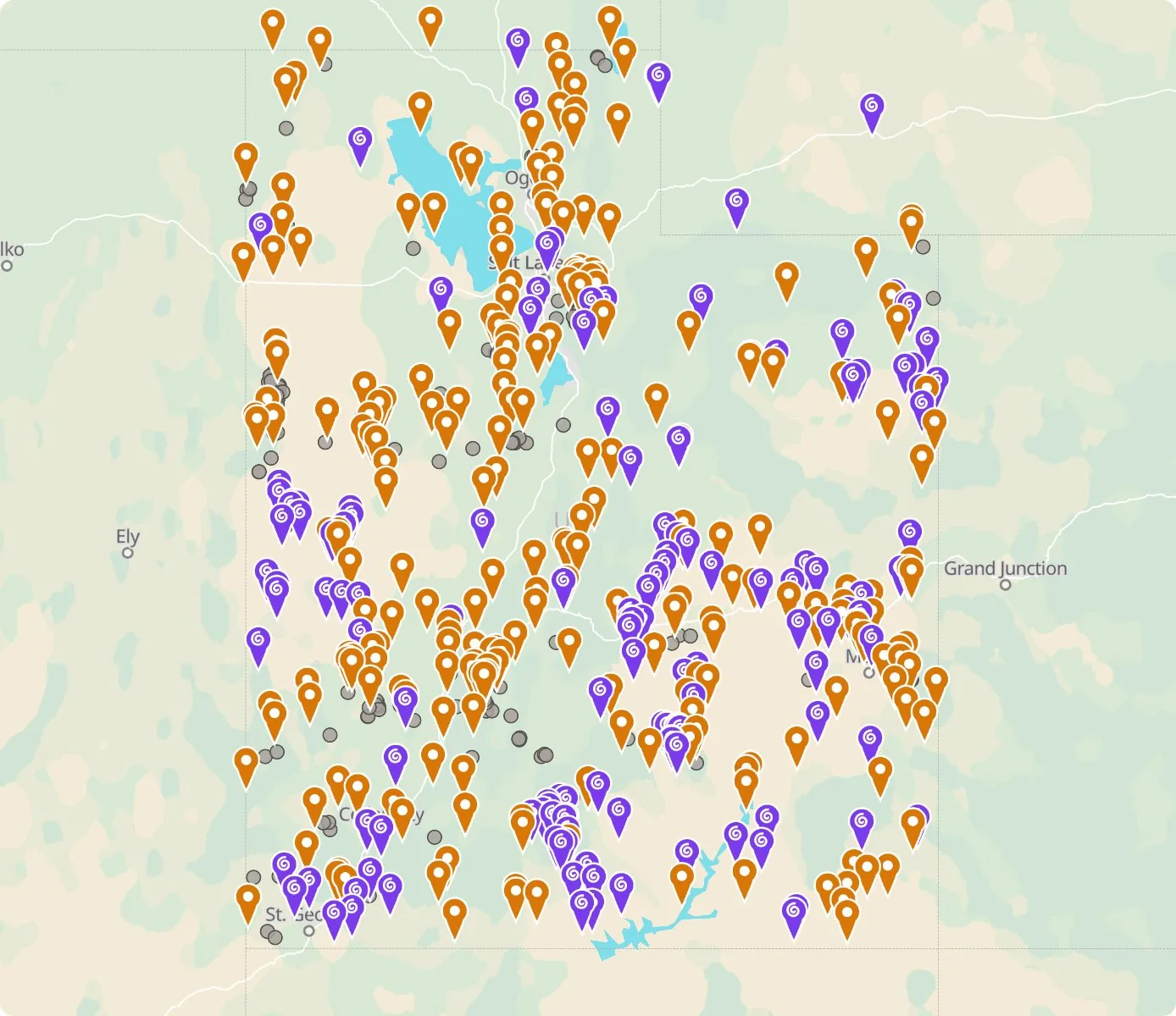 Street map, freeSatellite, Pro
Who owns the land, and where the claims are
Questions about the map
Is it legal to collect at these sites?
That depends on who owns the land. Most BLM land allows hand collecting of reasonable amounts for personal use, national parks allow none, and private land needs the owner’s permission.
Where do the sites come from?
Members add and correct sites. We also import public records from the USGS Mineral Resources Data System and provincial mineral inventories in Canada.
Is there a rockhounding map that works with no signal?
Yes. With Pro, the rockhounding.org app saves map areas for offline use, and the website exports sites as GPX or KML for Gaia, onX or Garmin.
How do I find rockhounding sites near me?
Tap “Show sites near me” and allow location.
What are pay-to-dig sites?
Mines, quarries and gem fields that charge a fee to dig, often with tools and a guide. The map has 52 of them.
How do I add a site to the map?
Choose Submit New Location under the full map. Give the coordinates, what can be found there and who owns the land.