
Rockhounding near me: map of 61,965 sites
The map holds 61,965 sites: 19,452 in the United States, 28,529 in Canada and 13,984 in 107 other countries.
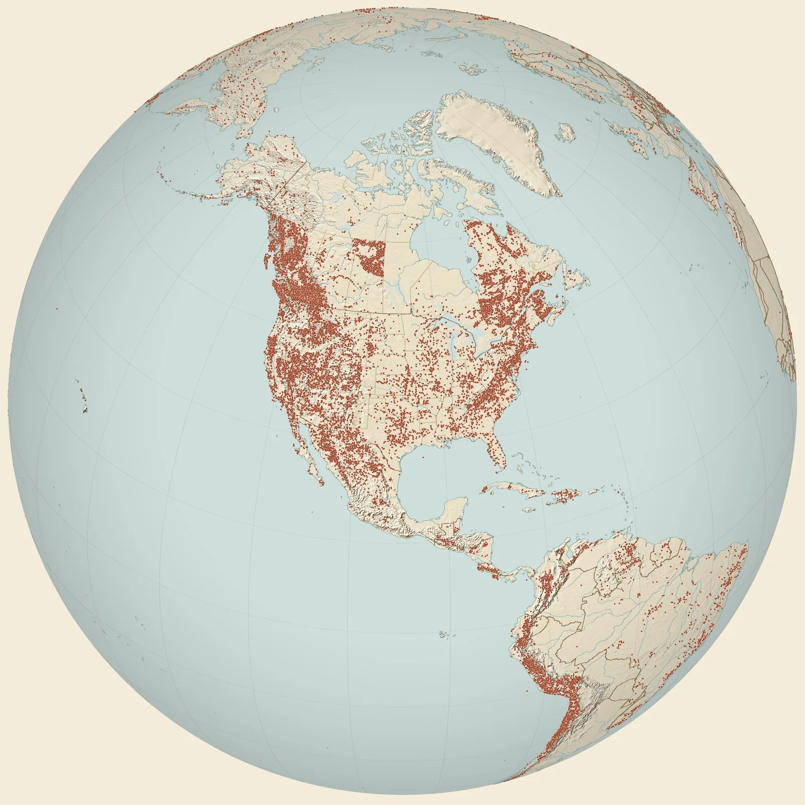
Rockhounding sites near you
- Loc. 32. Waste banks of the Power Compnay mine, just east of County Hwy. K, 2¾ miles north of Germantown · MOFossil0.0 mi
- Lucas, Cherokee Shale · MOFossil6.1 mi
- Loc. 27A. Small strip pit on west side of the county road, just east of Bear Creek, ~2.5 miles east of Montrose · MOFossil6.8 mi
- Ewing strip pit · MOFossil10 mi
- Overby strip pit · MOFossil12 mi
- Houston strip pit · MOFossil12 mi
- Shideler strip pit · MOFossil12 mi
- Loc. 28. Cottonwood Creek, tributary to Honey Creek, ~2 miles north of Harvey · MOFossil13 mi
- England strip pit · MOFossil17 mi
- Loc. 24. Strip mine & waste banks 200 yds west of US 71, 0.3 miles north of Rich Hill · MOFossil24 mi
- Tightwad · MOPyrite25 mi
- Loc. 23. Jonnum mine waste banks, 3.5 miles northeast of Arthur and just south of Carbon Center · MOFossil27 mi
- Loc. 34. Old dump of air hole on side of road on the northeast edge of Bowen · MOFossil28 mi
- Foster & Hume · MOAlunogen, Gypsum and Melanterite28 mi
- Pleasant Hill · MOCalcite and Vivianite35 mi
- Warsaw · MOAgate, Chert and Mozarkite36 mi
- Walnut Creek · MOSphalerite39 mi
- Loc. 13. Dry Wood Creek, 100 yards west of US 71, 4.75 miles north of junction betwen US 71 and US 160 · MOFossil43 mi
- Loc. 16. Old quarry just sout of the Marmaton River, west side of County Highway H, ½ mile north of Deerfield · MOFossil43 mi
- Lincoln · MOChalcedony, Chert, Mozarkite and 2 more43 mi
- Loc. 8. Old quarry on the east side of County Hwy. H, just before it crosses Marmaton River, ½ mile northwest of Deerfield · MOFossil43 mi
- Loc. 15. Bank of Hackberry Branch, 800' west of bridge where road crosses stream, 5.5 miles southwest of Nevada · MOFossil43 mi
- Loc. 14. Bank of Hackberry Branch, just west of bridge where north-south country road crosses stream 500’ north of Hackberry School, 6 miles southwest of Nevada · MOFossil44 mi
- Loc. 21. Strip pit and waste bank, County Highway F, 1 mile southwest of Moundville · MOFossil46 mi
- Loc. 20. East side of Drywood Creek, 30 yards from creek bank, 4.5 miles northwest of Moundville · MOFossil48 mi
Rockhounding maps for all 50 states
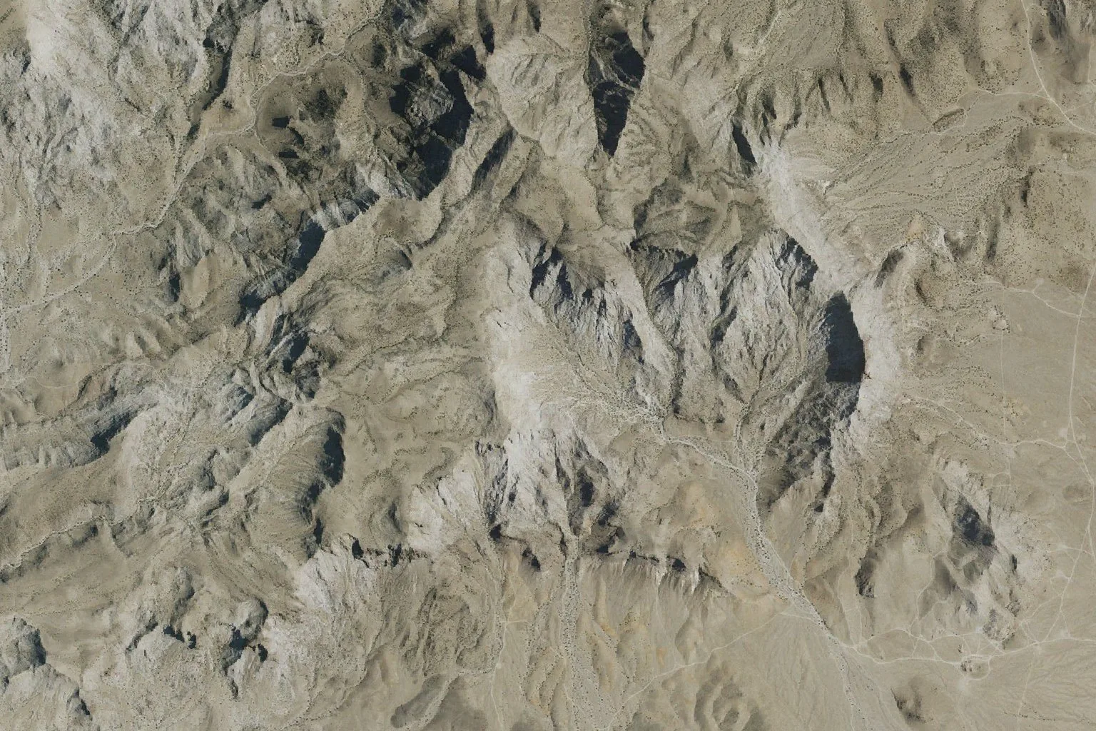
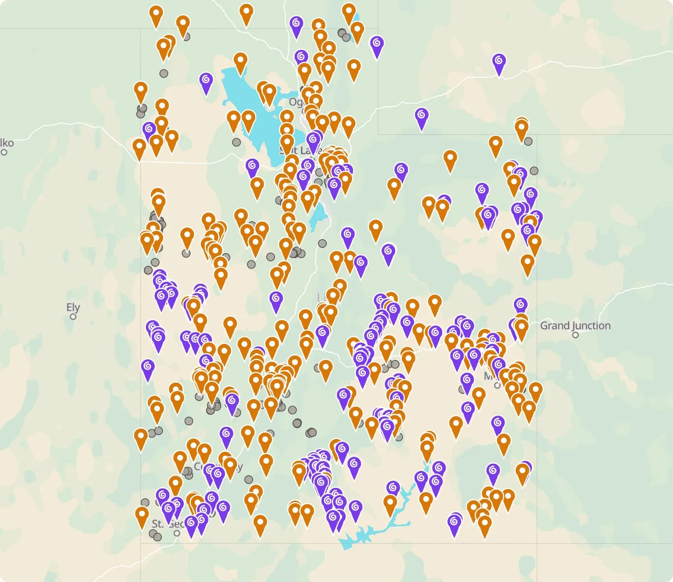 Street map, freeSatellite, Pro
Who owns the land, and where the claims are
Questions about the map
Is it legal to collect at these sites?
That depends on who owns the land. Most BLM land allows hand collecting of reasonable amounts for personal use, national parks allow none, and private land needs the owner’s permission.
Where do the sites come from?
Members add and correct sites. We also import public records from the USGS Mineral Resources Data System and provincial mineral inventories in Canada.
Is there a rockhounding map that works with no signal?
Yes. With Pro, the rockhounding.org app saves map areas for offline use, and the website exports sites as GPX or KML for Gaia, onX or Garmin.
How do I find rockhounding sites near me?
Tap “Show sites near me” and allow location.
What are pay-to-dig sites?
Mines, quarries and gem fields that charge a fee to dig, often with tools and a guide. The map has 100 of them.
How do I add a site to the map?
Choose Submit New Location under the full map. Give the coordinates, what can be found there and who owns the land.