
Rockhounding near me: map of 61,965 sites
The map holds 61,965 sites: 19,452 in the United States, 28,529 in Canada and 13,984 in 107 other countries.
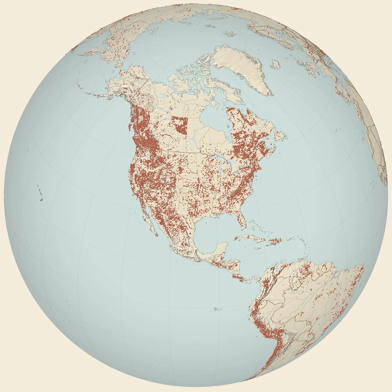
Rockhounding sites near you
- USGS 16276, Highway 71 · ARFossil0.0 mi
- Kessler Limestone member, Bloyd Shale at Mill Creek; USGS 2857 · ARFossil5.7 mi
- Arnett · ARFossil5.7 mi
- Kessler Limestone member, Bloyd Shale; USGS 13977 · ARFossil6.0 mi
- University of Arkansas locality 11 Wo, Lee Creek · ARFossil6.7 mi
- Bactritid-like coleoids - Highway 570 · ARFossil7.5 mi
- USNM 3652. South side of hill, Near Elkins, close to Fayetteville · ARFossil13 mi
- Fayetteville Quadrangle, USGS-2860 · ARFossil13 mi
- East flank of Kessler Mountain (Loc. 28) · ARFossil14 mi
- Kessler Limestone member, Bloyd Shale at "Low gap"; USGS 8177 · ARFossil14 mi
- ARC-14, Town Branch and Cato Spring Branch Creeks · ARFossil15 mi
- USNM 7087. 100 yds upstream from bridge, bed of Illinois River, 2 miles northeast of Prairie Grove · ARFossil15 mi
- USNM 5551. Cut on St. Louis-San Francisco Railroad just west of Fayetteville City Park, just north of Fayetteville · ARFossil16 mi
- Winslow Quadrangle, Steam, road, railroad junction, USGS 2849 · ARFossil16 mi
- Frisco Railroad cut, Fayetteville, USGS 8213 · ARFossil16 mi
- Fayetteville Quadrangle, USGS 8186 · ARFossil16 mi
- USNM 7082. Along road 3 miles southwest of Clyde · ARFossil16 mi
- USGS 3651B green, Round Mountain, Fayetteville · ARFossil16 mi
- USNM 1339A. Sam Eidson's Stillhouse, 9 miles north east of Fayetteville · ARFossil17 mi
- Road side collection, USGS 2818C · ARFossil18 mi
- Kessler Limestone member, Bloyd Shale at Morrow; USGS 3660 · ARFossil18 mi
- USGS 3640 green, just south of Morrow · ARFossil18 mi
- USGS 5552 green, 4 miles northeast of Fayetteville · ARFossil19 mi
- Basal Conglomerate, Bloyd Shale, USGS 1292F · ARFossil20 mi
- USNM 1339E. Faulted area, south of fault, short distance down slope from remains of Sam Horn's still house, 5½ miles north east of Fayetteville · ARFossil24 mi
Rockhounding maps for all 50 states
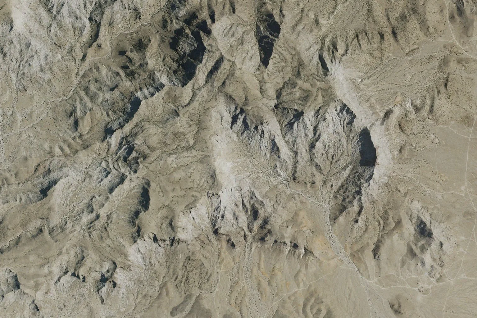
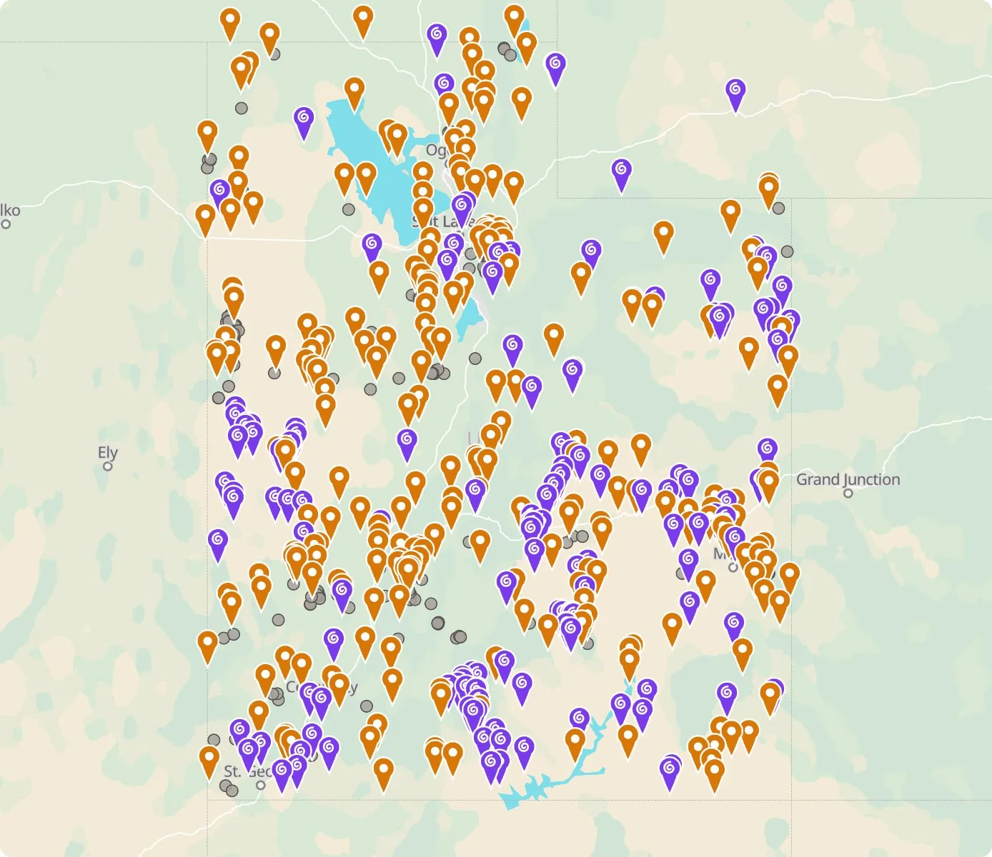 Street map, freeSatellite, Pro
Who owns the land, and where the claims are
Questions about the map
Is it legal to collect at these sites?
That depends on who owns the land. Most BLM land allows hand collecting of reasonable amounts for personal use, national parks allow none, and private land needs the owner’s permission.
Where do the sites come from?
Members add and correct sites. We also import public records from the USGS Mineral Resources Data System and provincial mineral inventories in Canada.
Is there a rockhounding map that works with no signal?
Yes. With Pro, the rockhounding.org app saves map areas for offline use, and the website exports sites as GPX or KML for Gaia, onX or Garmin.
How do I find rockhounding sites near me?
Tap “Show sites near me” and allow location.
What are pay-to-dig sites?
Mines, quarries and gem fields that charge a fee to dig, often with tools and a guide. The map has 100 of them.
How do I add a site to the map?
Choose Submit New Location under the full map. Give the coordinates, what can be found there and who owns the land.