
Rockhounding near me: map of 61,923 sites
The map holds 61,923 sites: 19,410 in the United States, 28,529 in Canada and 13,984 in 107 other countries.
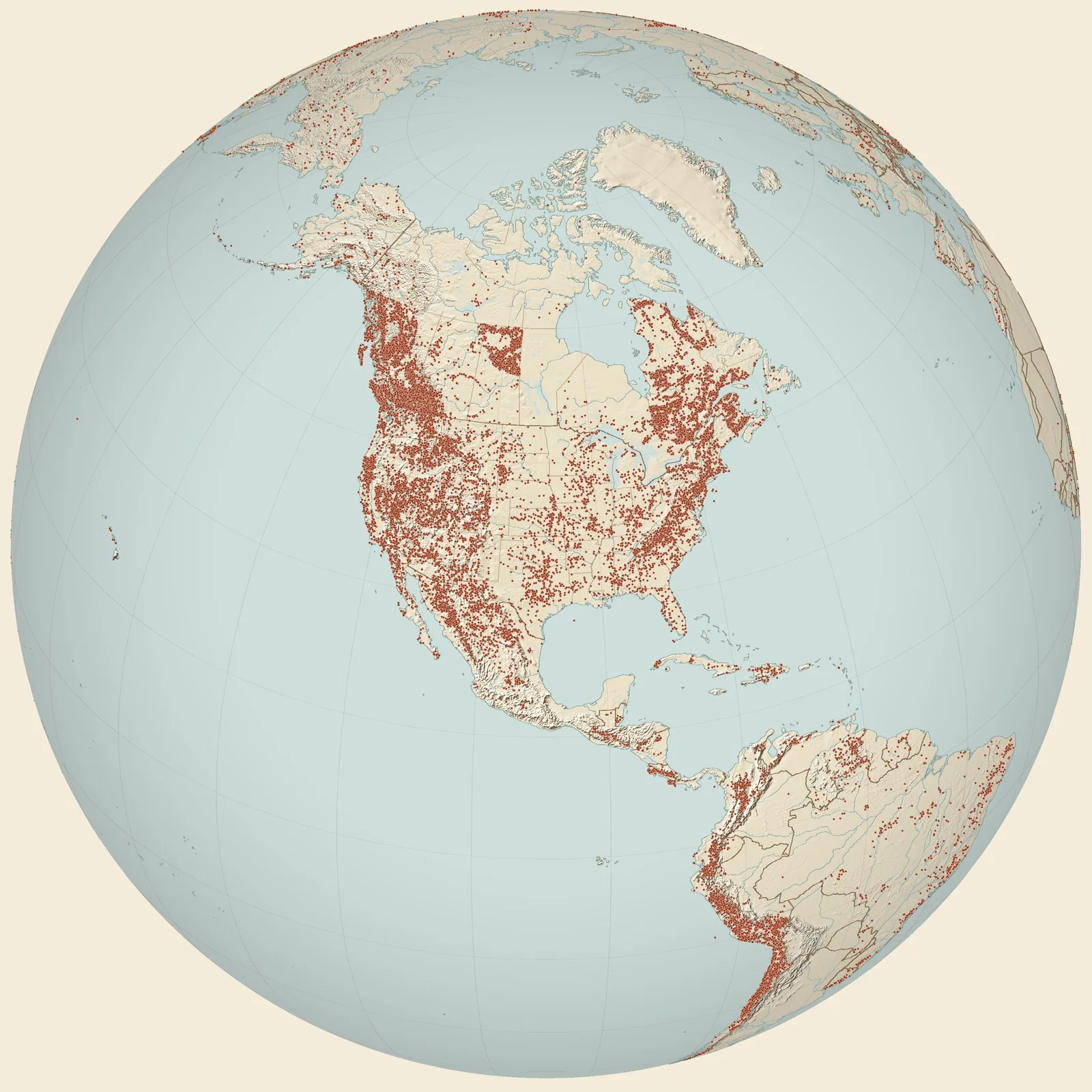
Rockhounding sites near you
- Norman · OKFossil0.0 mi
- quarry southeast of University of Oklahoma · OKFossil5.1 mi
- Noble · OKBarite and Rose Rock6.8 mi
- Noble · OKFossil7.6 mi
- Lake Stanley Draper · OKBarite and Rose Rock8.1 mi
- Lake Thunderbird · OKBarite and Rose Rock8.6 mi
- Oklahoma City · OKBarite and Rose Rock14 mi
- Paoli · OKMalachite31 mi
- El Reno · OKAgate, Jasper and Petrified Wood37 mi
- OMNH V1005 · OKFossil46 mi
- Carey black shale fauna, Carey Fm., Arbuckle Mtns. · OKFossil54 mi
- Brick plant Quarry, southwest edge of the Ada. NE1/4 SE1/4 sec. 4 T3N, R6E · OKFossil54 mi
- Locality 15. North of Chimneyhill Creek · OKFossil54 mi
- Locality 05. 1/2 mile SSW of Cedar Hill & three miles SE of Lawrence Quarry · OKFossil55 mi
- Oklahoma Highway 18 roadcut, 1.8 miles south of Sulphur · OKFossil55 mi
- Locality 03. East side of road in bluff for 1/2 mile · OKFossil55 mi
- Section A, Unit 3. Ideal Portland Cemetary Quarry. Arbuckle Mountains · OKFossil57 mi
- 1/4 mi. W of Highway 77, Arbuckle Mountains [Bromide Fm] · OKFossil57 mi
- P22. Lawrence quarry, Ideal Cement Company, northeast end of Arbuckle Mountain · OKFossil57 mi
- upper mound interval, Joins Ranch, 6 miles N of Woodford, Arbuckle Mountains · OKFossil57 mi
- Buckhorn Asphalt Quarry, Desmoinesian Nautiloids · OKFossil61 mi
- Second dam on Spring Creek, northwest of Woodford · OKFossil62 mi
- 459-z at Chapman's Ranch in Arbuckle Mts on Highway 77 · OKFossil62 mi
- I-35 · OKFossil62 mi
- Highway 77, Arbuckle Mountains, lower mound interval · OKFossil62 mi
Rockhounding maps for all 50 states
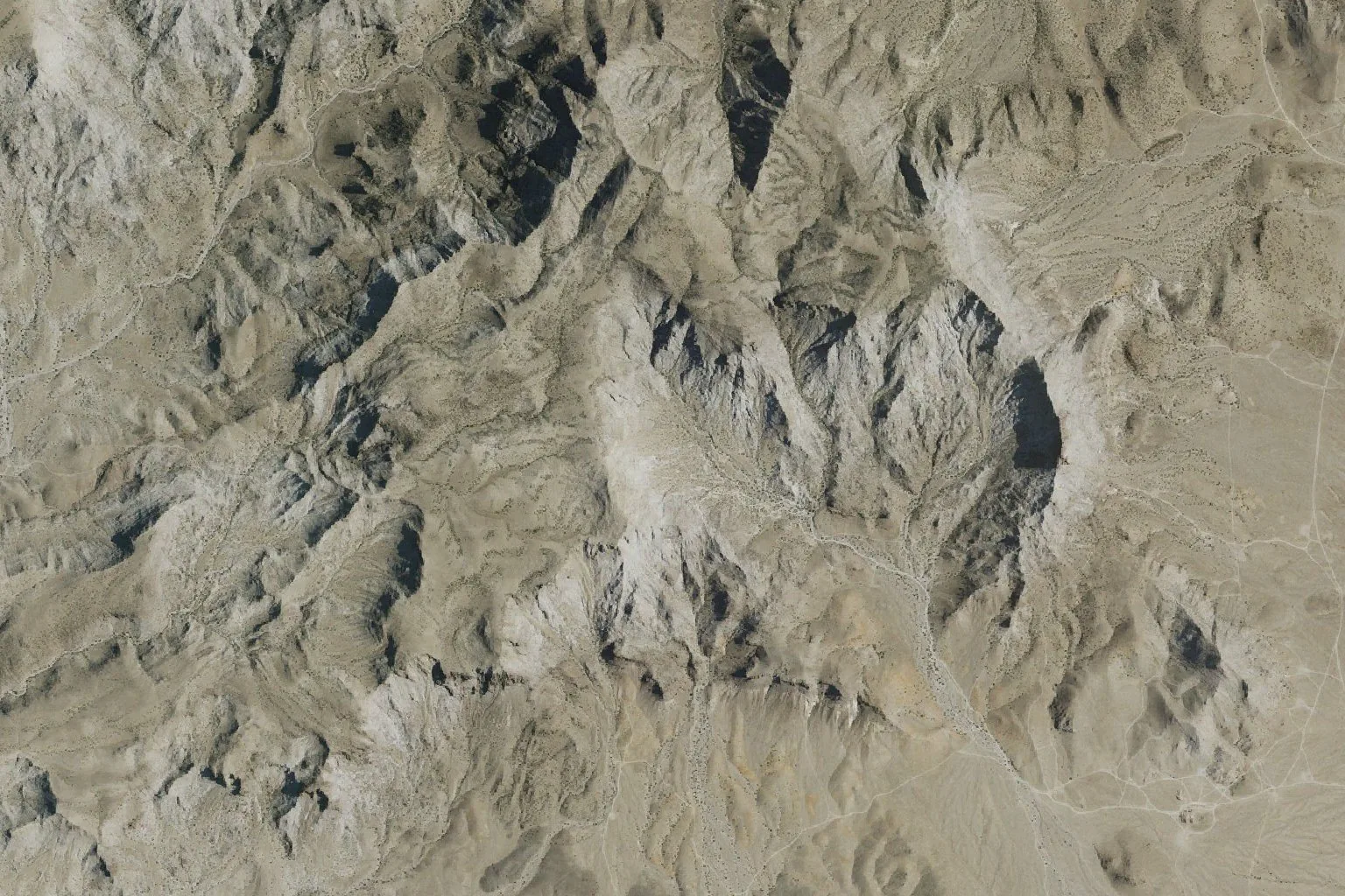
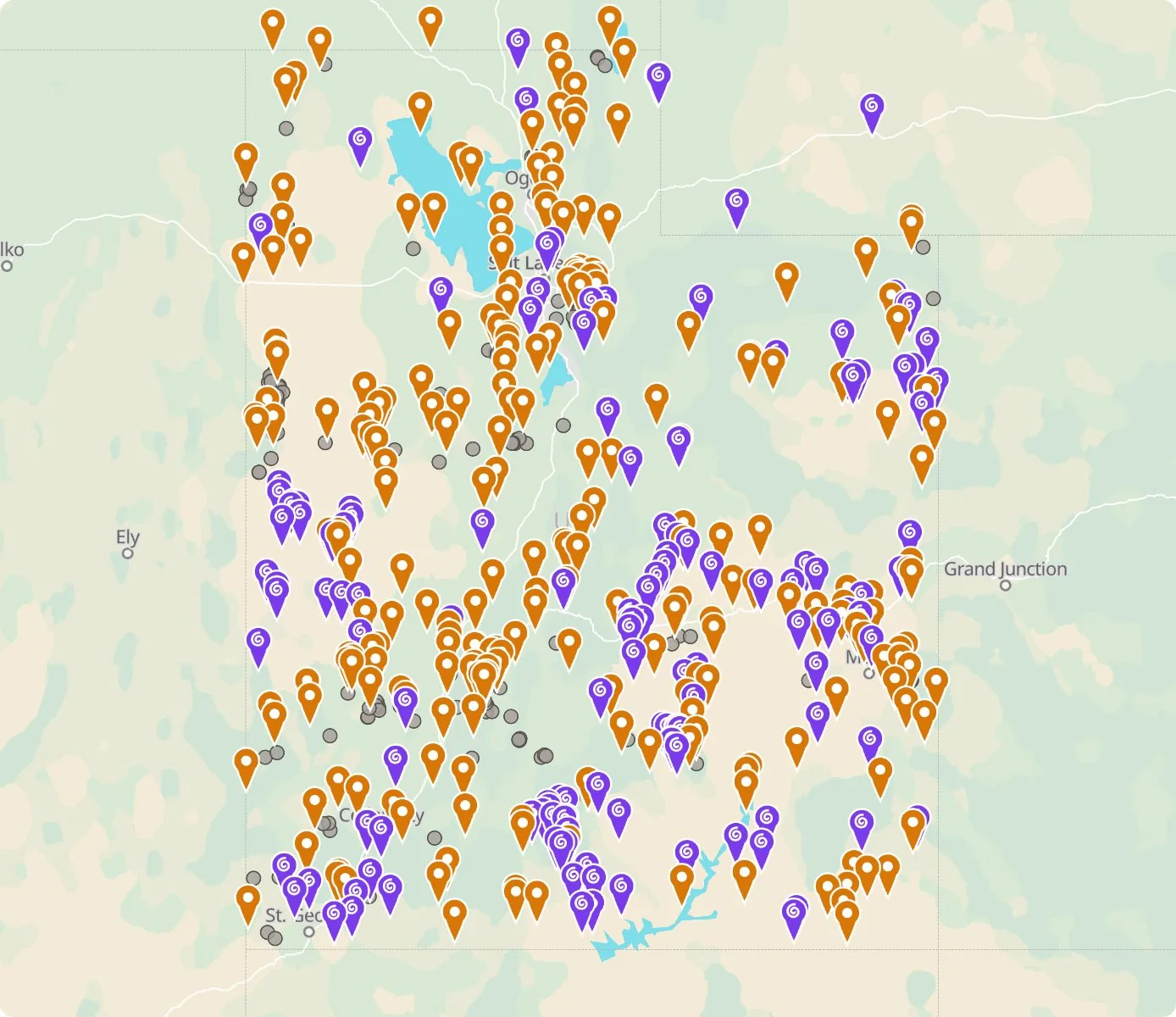 Street map, freeSatellite, Pro
Who owns the land, and where the claims are
Questions about the map
Is it legal to collect at these sites?
That depends on who owns the land. Most BLM land allows hand collecting of reasonable amounts for personal use, national parks allow none, and private land needs the owner’s permission.
Where do the sites come from?
Members add and correct sites. We also import public records from the USGS Mineral Resources Data System and provincial mineral inventories in Canada.
Is there a rockhounding map that works with no signal?
Yes. With Pro, the rockhounding.org app saves map areas for offline use, and the website exports sites as GPX or KML for Gaia, onX or Garmin.
How do I find rockhounding sites near me?
Tap “Show sites near me” and allow location.
What are pay-to-dig sites?
Mines, quarries and gem fields that charge a fee to dig, often with tools and a guide. The map has 52 of them.
How do I add a site to the map?
Choose Submit New Location under the full map. Give the coordinates, what can be found there and who owns the land.