
Rockhounding near me: map of 61,923 sites
The map holds 61,923 sites: 19,410 in the United States, 28,529 in Canada and 13,984 in 107 other countries.
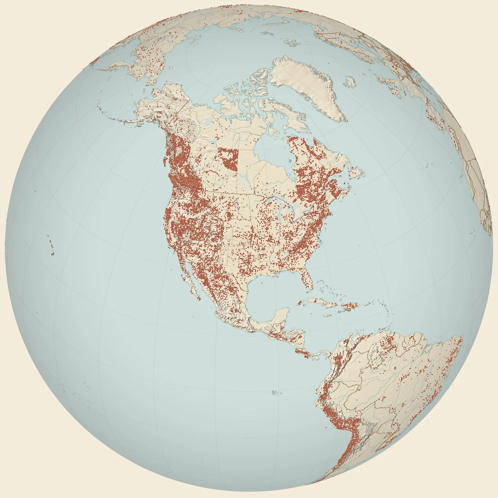
Rockhounding sites near you
- Asteroidea, Reid locality 10, Sycamore School Road, Pawpaw fm, Fort Worth · TXFossil0.0 mi
- Asteroidea, Reid locality 8, Pawpaw fm, Fort Worth · TXFossil1.1 mi
- 4 1/2 mi SE of Fort Worth, 1/4 mi S of International Great Northern Railway... · TXFossil1.7 mi
- 4 mi SW of Fort Worth, 1/2 mi S of Baptist Seminary · TXFossil2.1 mi
- Sycamore Creek Valley, 4 1/2 mi SE of Fort Worth and 1/2 mi NE of loc. 209 · TXFossil2.2 mi
- Pit of Cobb Brickyards, 1/4 mi E of Sycamore Creek · TXFossil2.5 mi
- Sample SA3, Salvation Army locality, East Seminary Drive · TXFossil2.7 mi
- Sycamore Creek, Fort Worth (Conlin collection) · TXFossil3.1 mi
- Bridge on Fort Worth-Crowley Road · TXFossil3.2 mi
- Between Mansfield Road and the Federal Narcotics Farm · TXFossil3.4 mi
- Asteroidea, Reid locality 6, Ellis Ranch Road, Pawpaw fm, Fort Worth · TXFossil3.7 mi
- Asteroidea, Reid locality 9, Dirks, Pawpaw fm, Fort Worth · TXFossil4.3 mi
- Fort Worth, Cretaceous · TXFossil5.1 mi
- Village Creek-Bowman Springs Road · TXFossil5.7 mi
- Crestline Road, north boundary of Trinity Park · TXFossil6.7 mi
- Asteroidea, Reid locality 5b, Beach Street, Weno or Pawpaw fm, Fort Worth · TXFossil7.1 mi
- Sycamore Creek, Fort Worth [Weno Limestone] · TXFossil7.2 mi
- Wildcat Branch, Village Creek, south of Handley · TXFossil7.7 mi
- USGS 11740 · TXFossil7.8 mi
- Sample BEN, Benbrook Dam Spillway, Fort Worth · TXFossil7.9 mi
- USGS 22320, Mary's Creek [Goodland Limestone] · TXFossil7.9 mi
- Locality 1, Fort Worth, Tarrant County, Denton Biostrome, Biofacies A · TXFossil8.2 mi
- 1 mile south of Burleson on highway 81 · TXFossil8.4 mi
- Roadcut on western edge of Meadowbrook Country Club · TXFossil8.7 mi
- 3 blocks north of Meadowbrook Country Club · TXFossil8.9 mi
Rockhounding maps for all 50 states
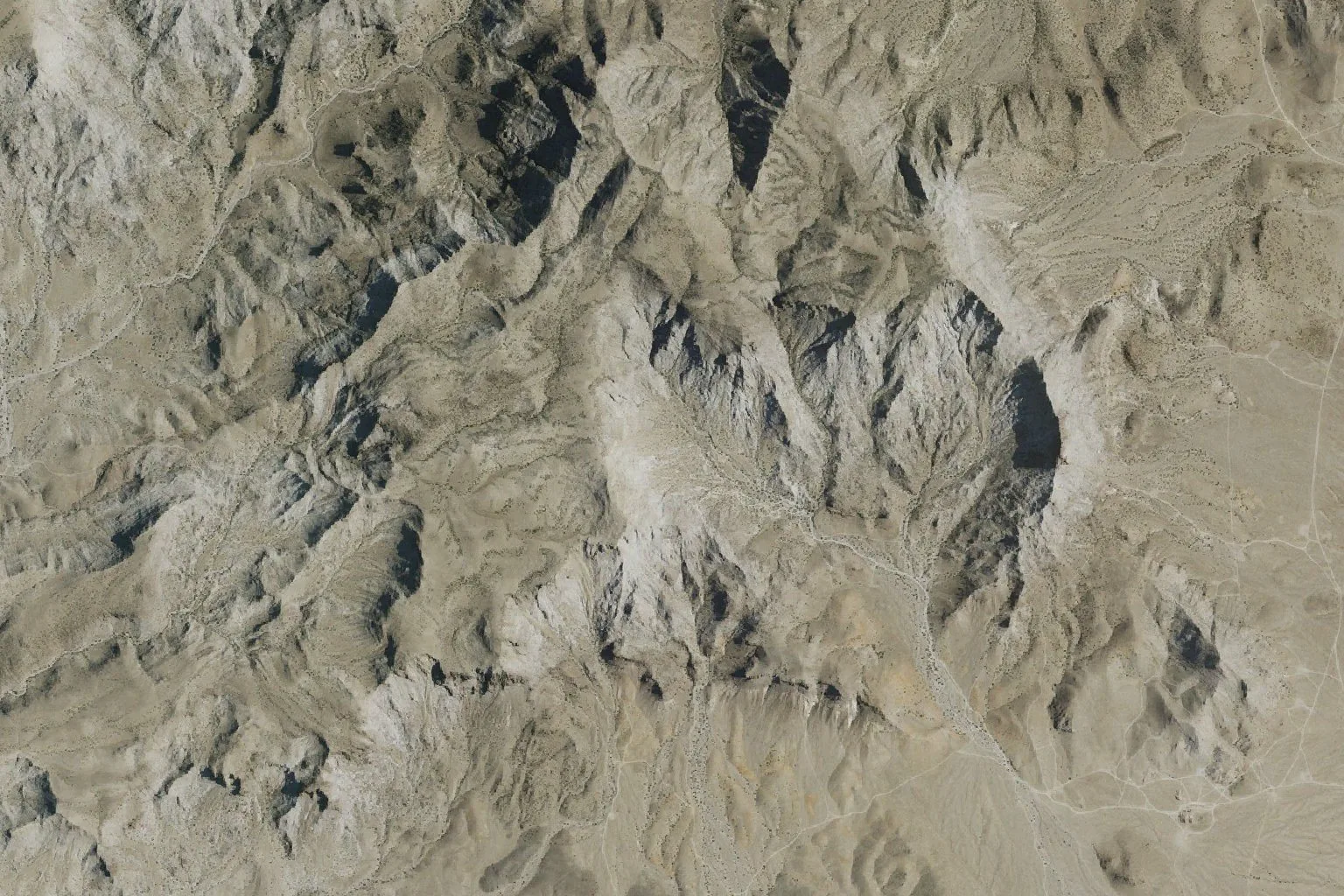
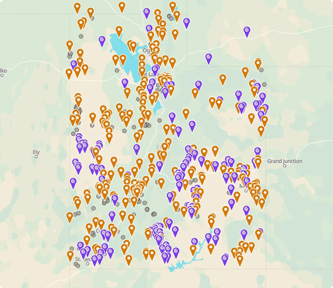 Street map, freeSatellite, Pro
Who owns the land, and where the claims are
Questions about the map
Is it legal to collect at these sites?
That depends on who owns the land. Most BLM land allows hand collecting of reasonable amounts for personal use, national parks allow none, and private land needs the owner’s permission.
Where do the sites come from?
Members add and correct sites. We also import public records from the USGS Mineral Resources Data System and provincial mineral inventories in Canada.
Is there a rockhounding map that works with no signal?
Yes. With Pro, the rockhounding.org app saves map areas for offline use, and the website exports sites as GPX or KML for Gaia, onX or Garmin.
How do I find rockhounding sites near me?
Tap “Show sites near me” and allow location.
What are pay-to-dig sites?
Mines, quarries and gem fields that charge a fee to dig, often with tools and a guide. The map has 52 of them.
How do I add a site to the map?
Choose Submit New Location under the full map. Give the coordinates, what can be found there and who owns the land.