
Rockhounding near me: map of 61,965 sites
The map holds 61,965 sites: 19,452 in the United States, 28,529 in Canada and 13,984 in 107 other countries.
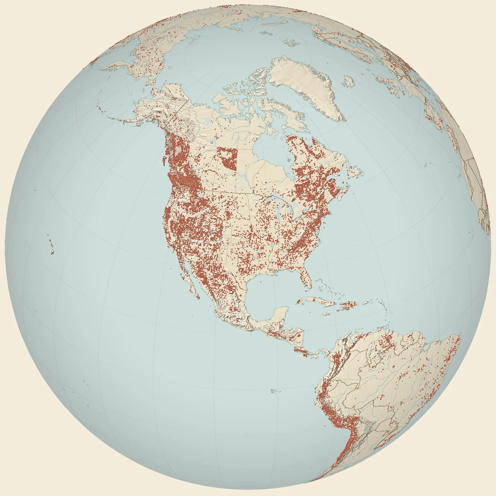
Rockhounding sites near you
- Wahtubbee Hills, cut on New Orleans and Northeastern R.R., 4 mi S of Enterprise · MSFossil0.0 mi
- Enterprise, MS, RR cut, 3' below oyster bed C/E (unit 2) · MSFossil3.7 mi
- MGS 120 · MSFossil8.2 mi
- Doby's Bluff shell bed, bag #2 · MSFossil9.3 mi
- Cook Mountain Formation, Mississippi · MSFossil11 mi
- PRI 2253, 3.5 miles south of Quitman · MSFossil12 mi
- Hickory, MS, 2 1/2' above base of outcrop · MSFossil17 mi
- Red Hot Truck Stop, sample R4406B · MSFossil18 mi
- GARL · MSFossil19 mi
- Tuscahoma Formation, Meridian · MSFossil19 mi
- MsLa-19 Red Hot Truck Stop · MSFossil20 mi
- MGS #46 · MSFossil20 mi
- Shubuta, east · MSFossil20 mi
- TU 907, Newton · MSFossil23 mi
- Boro's, Newton, MS, 10-12" above base of outcrop; bag #1 · MSFossil23 mi
- Otak Creek · MSFossil23 mi
- MGS 38 · MSFossil24 mi
- Waynesboro · MSFossil and Petrified Palm Wood26 mi
- Melvin · ALFossil28 mi
- 3.2km south of Melvin, 137m east of N-S Road · ALFossil28 mi
- USGS Station 2637, Cocoa Post Office · ALFossil28 mi
- Fail, southeast · ALFossil29 mi
- Horton's Mill, Chickasawhay River, loc. 1021 · MSFossil29 mi
- USGS 6647a - Limestone Creek [Chickasawhay Lmst] · MSFossil30 mi
- USGS Loc. 14345 - Sandy Creek [Chickasawhay Lmst] · MSFossil31 mi
Rockhounding maps for all 50 states
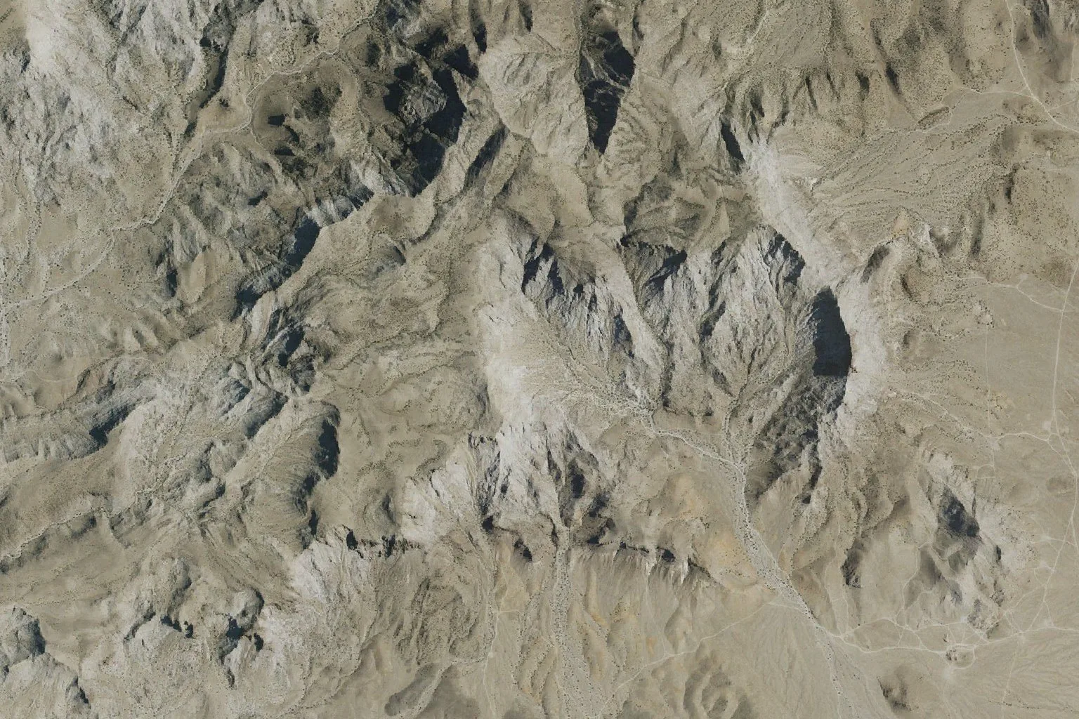
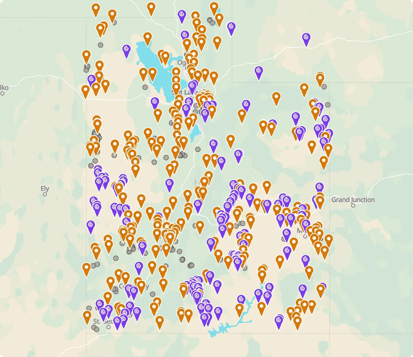 Street map, freeSatellite, Pro
Who owns the land, and where the claims are
Questions about the map
Is it legal to collect at these sites?
That depends on who owns the land. Most BLM land allows hand collecting of reasonable amounts for personal use, national parks allow none, and private land needs the owner’s permission.
Where do the sites come from?
Members add and correct sites. We also import public records from the USGS Mineral Resources Data System and provincial mineral inventories in Canada.
Is there a rockhounding map that works with no signal?
Yes. With Pro, the rockhounding.org app saves map areas for offline use, and the website exports sites as GPX or KML for Gaia, onX or Garmin.
How do I find rockhounding sites near me?
Tap “Show sites near me” and allow location.
What are pay-to-dig sites?
Mines, quarries and gem fields that charge a fee to dig, often with tools and a guide. The map has 100 of them.
How do I add a site to the map?
Choose Submit New Location under the full map. Give the coordinates, what can be found there and who owns the land.