
Rockhounding near me: map of 61,965 sites
The map holds 61,965 sites: 19,452 in the United States, 28,529 in Canada and 13,984 in 107 other countries.
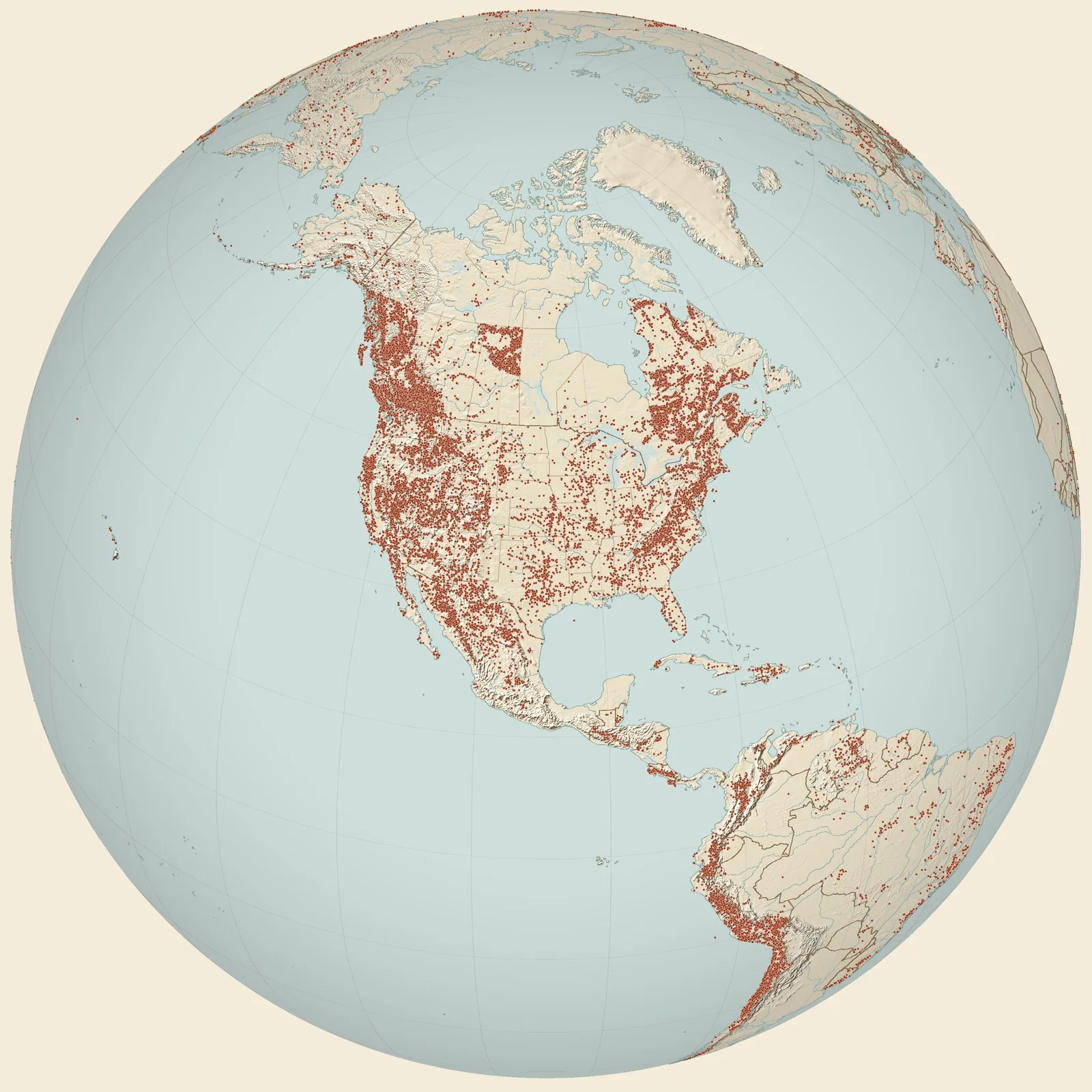
Rockhounding sites near you
- Section 2. Bed 03. East-facing escarpment, Franklin Mountains · TXFossil0.0 mi
- Hitt Canyon Prospect · TXAzurite, Bornite, Chalcopyrite and 8 more1.2 mi
- Vinton Canyon, Franklin Mountains, phylloid-algal horizon · TXFossil2.3 mi
- Hitt Canyon - Upham Dolomite Mbr. · TXFossil2.8 mi
- El Paso Mine · TXCassiterite, Fluorite, Limonite and 8 more3.6 mi
- Tom Mays Park Prospect · TXAzurite, Chalcanthite, Chalcopyrite and 9 more5.0 mi
- General Area · TXGarnet, Mica and Pink Serpentine6.7 mi
- Las Cruces · NMObsidian7.9 mi
- Lechuguilla Mound, Southern Franklin Mountains · TXFossil9.5 mi
- Nameless Canyon, just west of Ranger Peak, Franklin Mountains · TXFossil11 mi
- Section 06. Franklin Mountain. Small ridge 0.7 mile S55˚W. of Sugarloaf Mountain · TXFossil12 mi
- Crazy Cat landslide tracksite (Site J) · TXFossil13 mi
- El Paso, near crest of Scenic Drive · TXFossil14 mi
- Sugarloaf Mountain - Upham Dolomite Mbr. · TXFossil14 mi
- R.E. King 414, west of Hueco Tanks, Hueco Mountains · TXFossil22 mi
- R.E. King 415, west of Hueco Tanks, Hueco Mountains · TXFossil24 mi
- Section 9, bed 1, New Mexico-Texas state line, Hueco Mountains · TXFossil27 mi
- Kilbourne Hole · NMAugite and Peridot27 mi
- Reef Hill, Hueco Mountains, algal mound complex · TXFossil28 mi
- R.E. King 323, Hueco Mountains · TXFossil29 mi
- Section 3, bed 1, Hueco Tanks escarpment, Hueco Mountains · TXFossil29 mi
- Section 5, bed 1, Hueco Tanks escarpment, Hueco Mountains · TXFossil29 mi
- Organ · NMBrochantite, Cerargyrite, Cerussite and 5 more29 mi
- Homestake Mine · NMBismuth, Galena, Gold and 3 more32 mi
- Coyote Suroeste · ChihuahuaGalena and Silver32 mi
Rockhounding maps for all 50 states
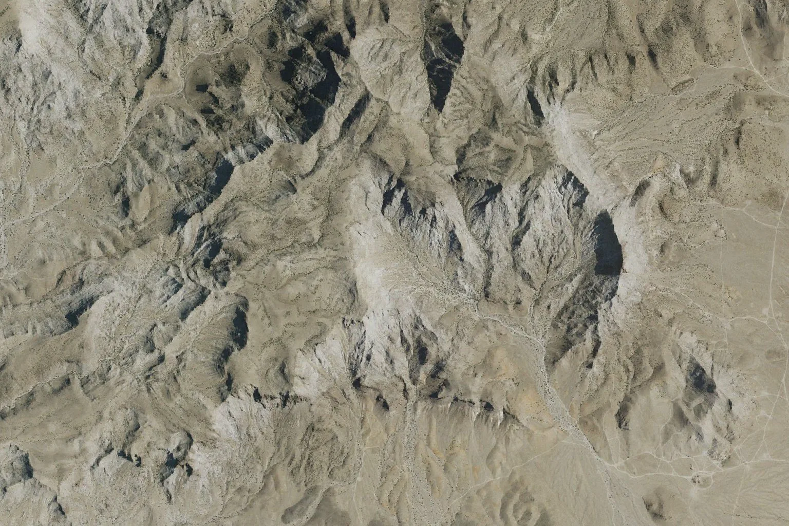
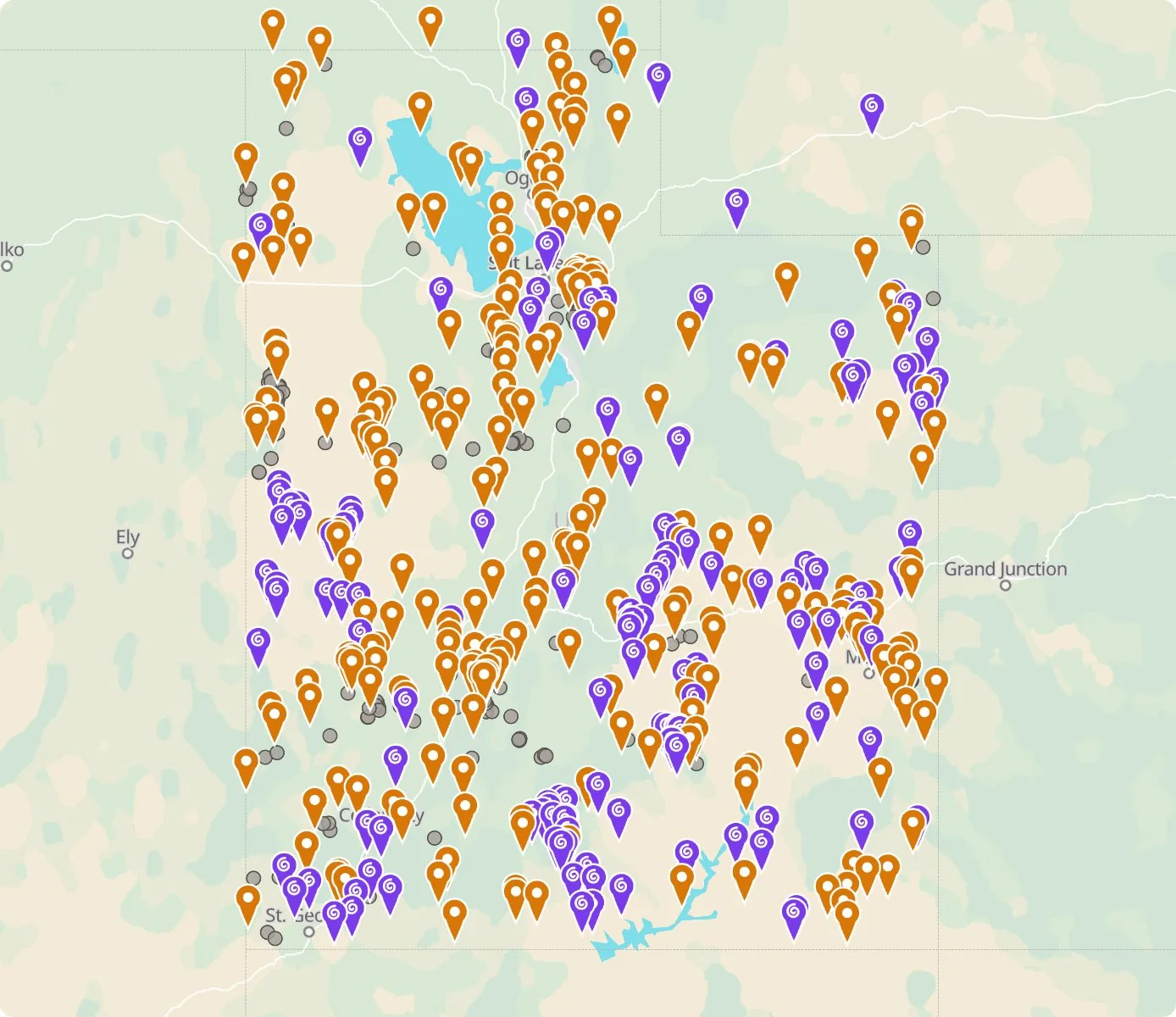 Street map, freeSatellite, Pro
Who owns the land, and where the claims are
Questions about the map
Is it legal to collect at these sites?
That depends on who owns the land. Most BLM land allows hand collecting of reasonable amounts for personal use, national parks allow none, and private land needs the owner’s permission.
Where do the sites come from?
Members add and correct sites. We also import public records from the USGS Mineral Resources Data System and provincial mineral inventories in Canada.
Is there a rockhounding map that works with no signal?
Yes. With Pro, the rockhounding.org app saves map areas for offline use, and the website exports sites as GPX or KML for Gaia, onX or Garmin.
How do I find rockhounding sites near me?
Tap “Show sites near me” and allow location.
What are pay-to-dig sites?
Mines, quarries and gem fields that charge a fee to dig, often with tools and a guide. The map has 100 of them.
How do I add a site to the map?
Choose Submit New Location under the full map. Give the coordinates, what can be found there and who owns the land.