
Rockhounding near me: map of 61,923 sites
The map holds 61,923 sites: 19,410 in the United States, 28,529 in Canada and 13,984 in 107 other countries.
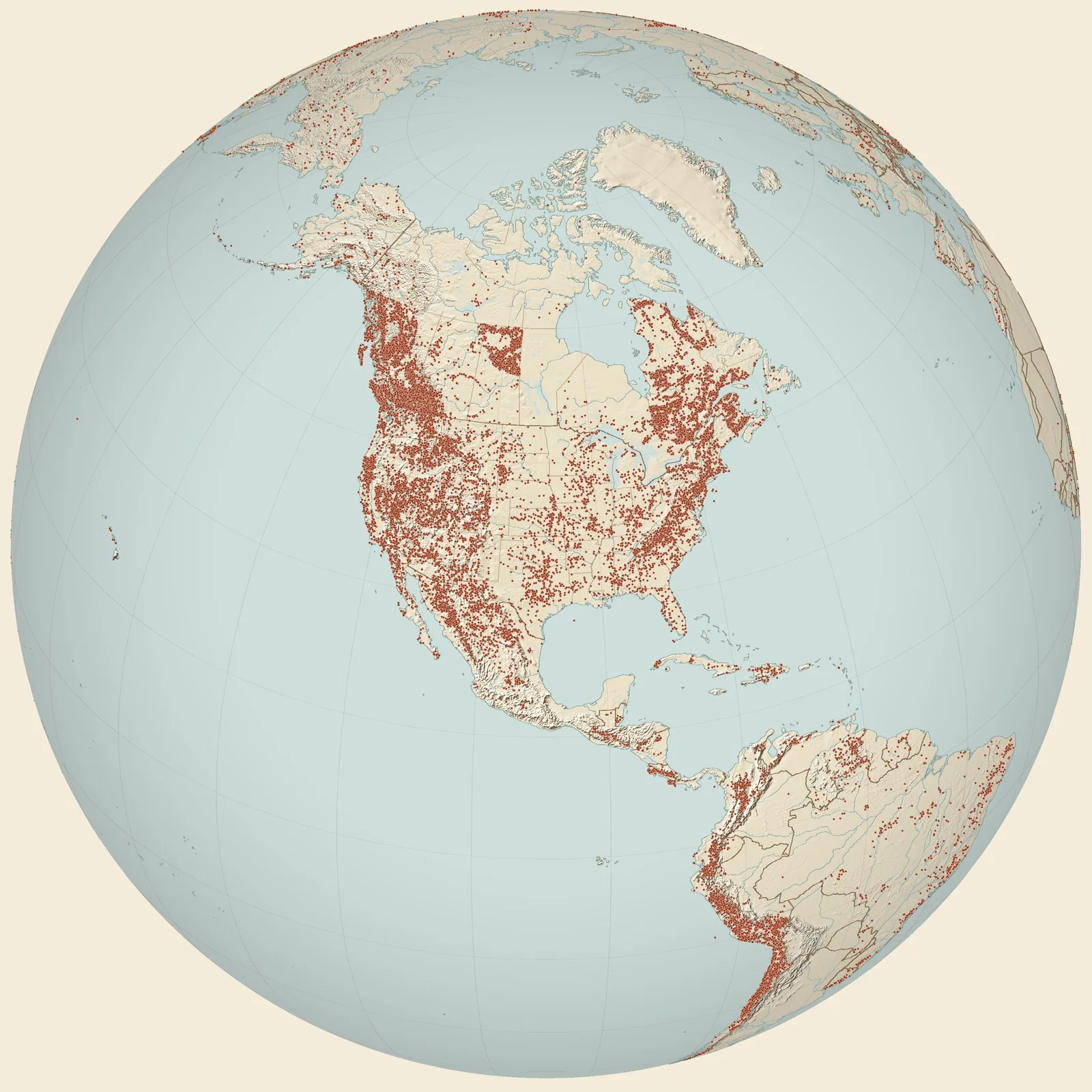
Rockhounding sites near you
- Jackson Ranger Station well (161 ft), Niceville [Choctawhatchee Fm] · FLFossil0.0 mi
- Shell marl, Vaughans Creek [locally, Blounts Creek], 6 mi S of DeFuniak Springs · FLFossil23 mi
- USGS Loc. 3749 - Senterfeit Mill [Oak Grove Sand] · FLFossil25 mi
- Right bank of Yellow River, 400 ft below the bridge near Oak Grove · FLFossil29 mi
- W. bank of Yellow River, 1/2 mi E of postoffice, Oak Grove · FLFossil29 mi
- USGS Loc. 7055 - Old Senterfeit Mill [Oak Grove Sand] · FLFossil31 mi
- Near water level at Boynton Landing, on Choctawhatchee River · FLFossil36 mi
- USGS Loc. 10609 - The Woodyard, lower bed [Chipola Fm] · FLFossil38 mi
- Conecuh River · ALFossil51 mi
- Washington County Area · FLChert and Flint51 mi
- AGe-1 · ALFossil51 mi
- Murder Creek [Marianna Limestone] · ALFossil53 mi
- USGS Loc. 8854, 8855, 8856, 10461 - A.L. Parrish Farm [Suwannee Lmst] · FLFossil54 mi
- ACon-3 · ALFossil54 mi
- Point A Dam Site, Conecuh River (Dunn/Ziegenhine/Case collection) · ALFossil58 mi
- Chipley Area · FLCalcite, Chalk and Chert59 mi
- EDAM · ALFossil63 mi
- Pea River at Elba Dam (ACof-1) · ALFossil63 mi
- Cottondale Area · FLChert68 mi
- ABu-3, Butler County (Hatchetigbee Fm) · ALFossil75 mi
- Jackson County Area · FLFossil and Chert75 mi
- N bank of Tenmile Creek at wagon bridge on road from Forestville to Marianna · FLFossil76 mi
- USGS Loc. 10026 - Drewry [Red Bluff Clay] · ALFossil81 mi
- USGS Loc. 16916 - Beaver Branch [Clayton Fm] · ALFossil82 mi
- M 878 · ALFossil83 mi
Rockhounding maps for all 50 states
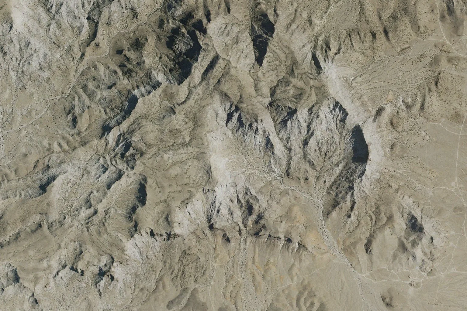
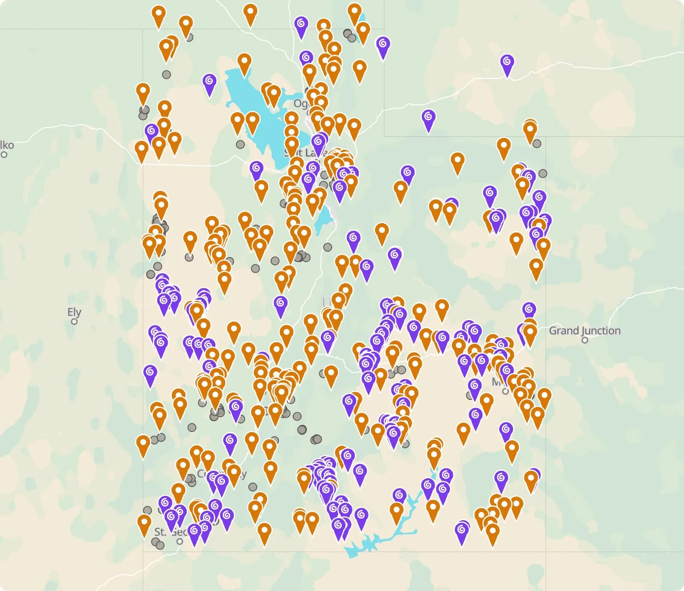 Street map, freeSatellite, Pro
Who owns the land, and where the claims are
Questions about the map
Is it legal to collect at these sites?
That depends on who owns the land. Most BLM land allows hand collecting of reasonable amounts for personal use, national parks allow none, and private land needs the owner’s permission.
Where do the sites come from?
Members add and correct sites. We also import public records from the USGS Mineral Resources Data System and provincial mineral inventories in Canada.
Is there a rockhounding map that works with no signal?
Yes. With Pro, the rockhounding.org app saves map areas for offline use, and the website exports sites as GPX or KML for Gaia, onX or Garmin.
How do I find rockhounding sites near me?
Tap “Show sites near me” and allow location.
What are pay-to-dig sites?
Mines, quarries and gem fields that charge a fee to dig, often with tools and a guide. The map has 52 of them.
How do I add a site to the map?
Choose Submit New Location under the full map. Give the coordinates, what can be found there and who owns the land.