
Rockhounding near me: map of 61,923 sites
The map holds 61,923 sites: 19,410 in the United States, 28,529 in Canada and 13,984 in 107 other countries.
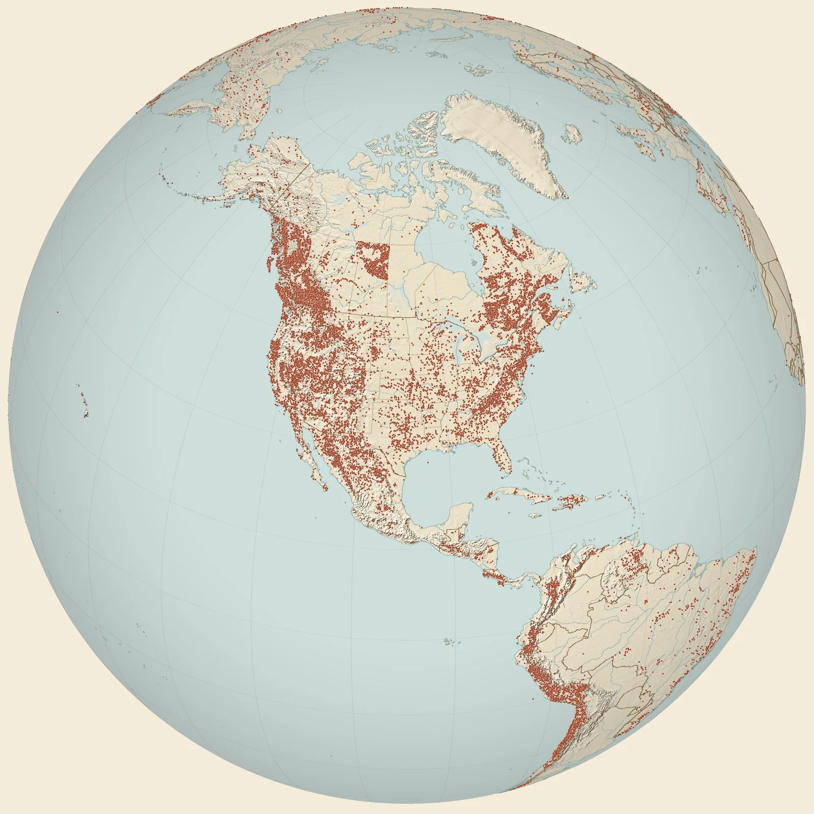
Rockhounding sites near you
- Wekiva River · FLFossil0.0 mi
- Blue Springs · FLFossil15 mi
- Green Mound midden · FLFossil29 mi
- Allen's Farm · FLFossil32 mi
- Ormond Beach · FLFossil34 mi
- CAS Loc. 578. Alum Bluff, Apalachicola River left bank, 3.5 miles N. of Bristow · FLFossil41 mi
- Sumter County Quarries · FLChert and Fossilized Ivory42 mi
- Eichelberger Cave · FLFossil45 mi
- Eureka Lock · FLFossil47 mi
- Brighton facies, Slough Ditch, about five miles east of Brighton · FLFossil49 mi
- Cross Florida Barge Canal · FLFossil and Silicified Coral51 mi
- Marion County · FLFossil54 mi
- Marion County Quarries · FLChert and Fossilized Ivory54 mi
- midway between Anthony and Martin, just east of cross roads · FLFossil55 mi
- Brooksville 2 · FLFossil57 mi
- Martin Station [Crystal River Limestone] · FLFossil58 mi
- Lakeland · FLChalcedony and Silicified Coral61 mi
- FLMNH Site BR008, Patrick Air Force Base [Anastasia Fm] · FLFossil64 mi
- USGS Loc. 7361, 7362, 7363 - Brooksville [Suwannee Lmst] · FLFossil66 mi
- FGS C-11 - Dunnellon Phosphate Minig Company pit [Inglis Limestone] · FLFossil67 mi
- Polk County Quarries · FLFossil, Gypsum, Petrified Wood and 2 more67 mi
- Brooksville · FLCalcite and Echinoid Geode67 mi
- Bradford County · FLChert and Fossilized Ivory68 mi
- St. Johns County Area · FLCoquina69 mi
- USGS Loc. 11116 - Blackwater Creek [Suwannee Lmst] · FLFossil72 mi
Rockhounding maps for all 50 states
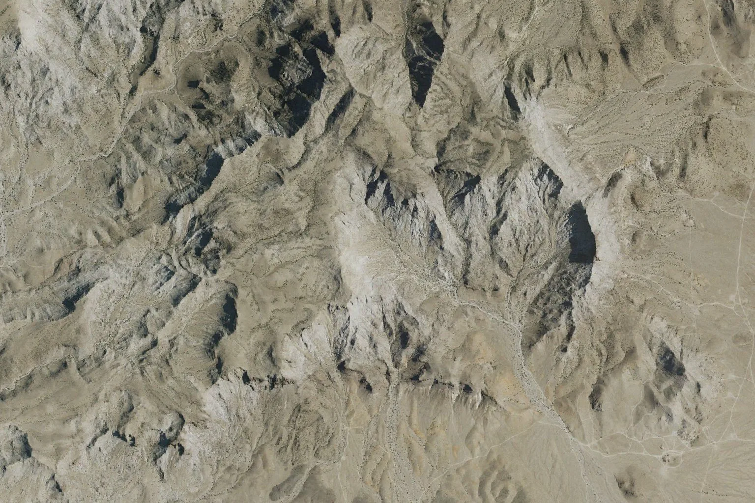
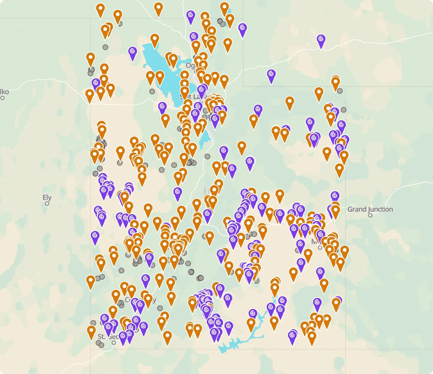 Street map, freeSatellite, Pro
Who owns the land, and where the claims are
Questions about the map
Is it legal to collect at these sites?
That depends on who owns the land. Most BLM land allows hand collecting of reasonable amounts for personal use, national parks allow none, and private land needs the owner’s permission.
Where do the sites come from?
Members add and correct sites. We also import public records from the USGS Mineral Resources Data System and provincial mineral inventories in Canada.
Is there a rockhounding map that works with no signal?
Yes. With Pro, the rockhounding.org app saves map areas for offline use, and the website exports sites as GPX or KML for Gaia, onX or Garmin.
How do I find rockhounding sites near me?
Tap “Show sites near me” and allow location.
What are pay-to-dig sites?
Mines, quarries and gem fields that charge a fee to dig, often with tools and a guide. The map has 52 of them.
How do I add a site to the map?
Choose Submit New Location under the full map. Give the coordinates, what can be found there and who owns the land.